
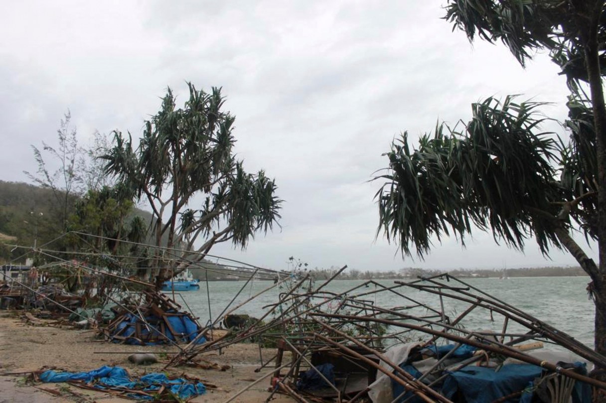
WELLINGTON, New Zealand (AP) – A massive cyclone tore through the South Pacific archipelago nation of Vanuatu on Saturday, and officials are still trying to assess the level of damage and number of deaths.
A snapshot of the small country, from volcanoes to snorkeling:
___
ERUPTING ISLANDS
A volcanic island chain that forms a Y-shape, Vanuatu is located about a quarter of the way from Australia to Hawaii. It’s made up of more than 80 islands, about 65 of which are inhabited. Its total land area makes it similar to the size of Connecticut. There are regular volcanic eruptions and Vanuatu is home to one of the world’s most active volcanoes, Yasur. The archipelago has more than 2,500 kilometers (1,550 miles) of coastline and its highest mountain rises 1,880 meters (6,170 feet) above sea level. The country is prone to cyclones from January to April.