
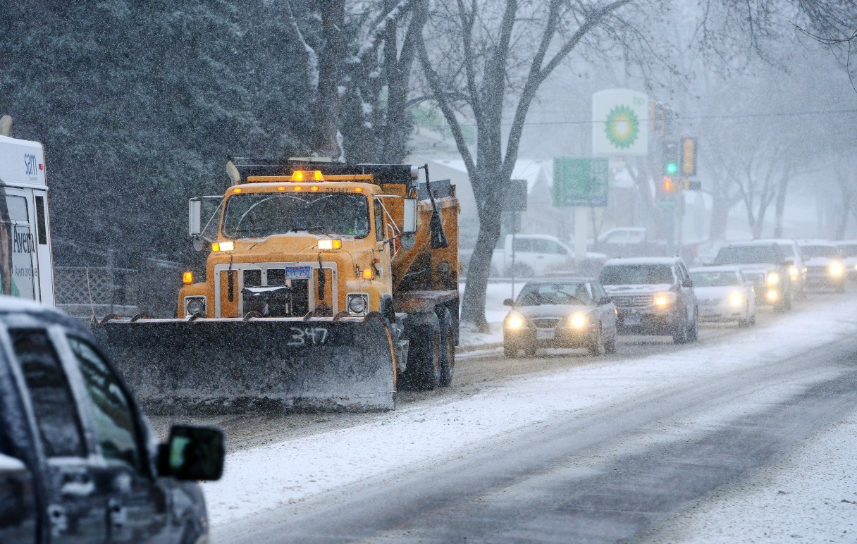
PIERRE, S.D. (AP) – The first significant wintry storm of the season will bring up to a foot of snow to parts of the Midwest this weekend, with eastern Iowa and northern Illinois bracing for the largest amounts.
The storm system is moving east from Nebraska and will last through Saturday evening when it tails through Michigan, according to Richard Otto, lead forecaster at the National Oceanic and Atmospheric Administration’s Weather Prediction Center.
The snowfall is “right on track” for the season, Otto said. But don’t look for it to be the picturesque light, fluffy snow that often occurs in the dead of winter, he said – this will be wet and heavy.
Already, southern South Dakota saw significant snowfall and poor traveling conditions on Friday morning, with up to 8 inches of snow expected by Friday evening.
Drivers in central and eastern Iowa will likely have a rough evening commute with six to 10 inches of snow expected, Otto said.