
Monday, November 16, 2026Nov 16

Powerful storms threaten Louisiana, parts of Deep South

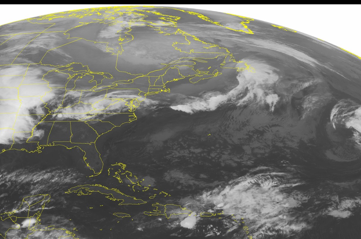
This NOAA satellite image taken Wednesday, April 27, 2016, at 12:45 AM EDT shows a line of strong thunderstorms moving through the Central and Northern Plains. This line reaches from Iowa and extends down through through Texas. Some of these storms might be severe. Another area of showers and storms are currently extending across the Appalachians and through the Mid-Atlantic along a stationary front. This system is moving eastward and will continue to bring rain and scattered storms into the morning hours. Mostly clear conditions can be seen across the Northeast and Southeast due to areas of high pressure.

ATLANTA – Parts of Louisiana were under a severe thunderstorm watch Wednesday as storms began firing up over parts of the Deep South.

The National Weather Service issued the watch for much of south Louisiana and southwest Mississippi until 3 p.m.

The threat of severe weather was expected to diminish during the afternoon as the line of storms weakened, forecasters said.

The main threat continued to be damaging winds and large hail. The weather service also lowered the threat of a tornado forming in the area.

The National Weather Service in Lake Charles reported on its website that trees were downed by high winds in Vernon Parish.