
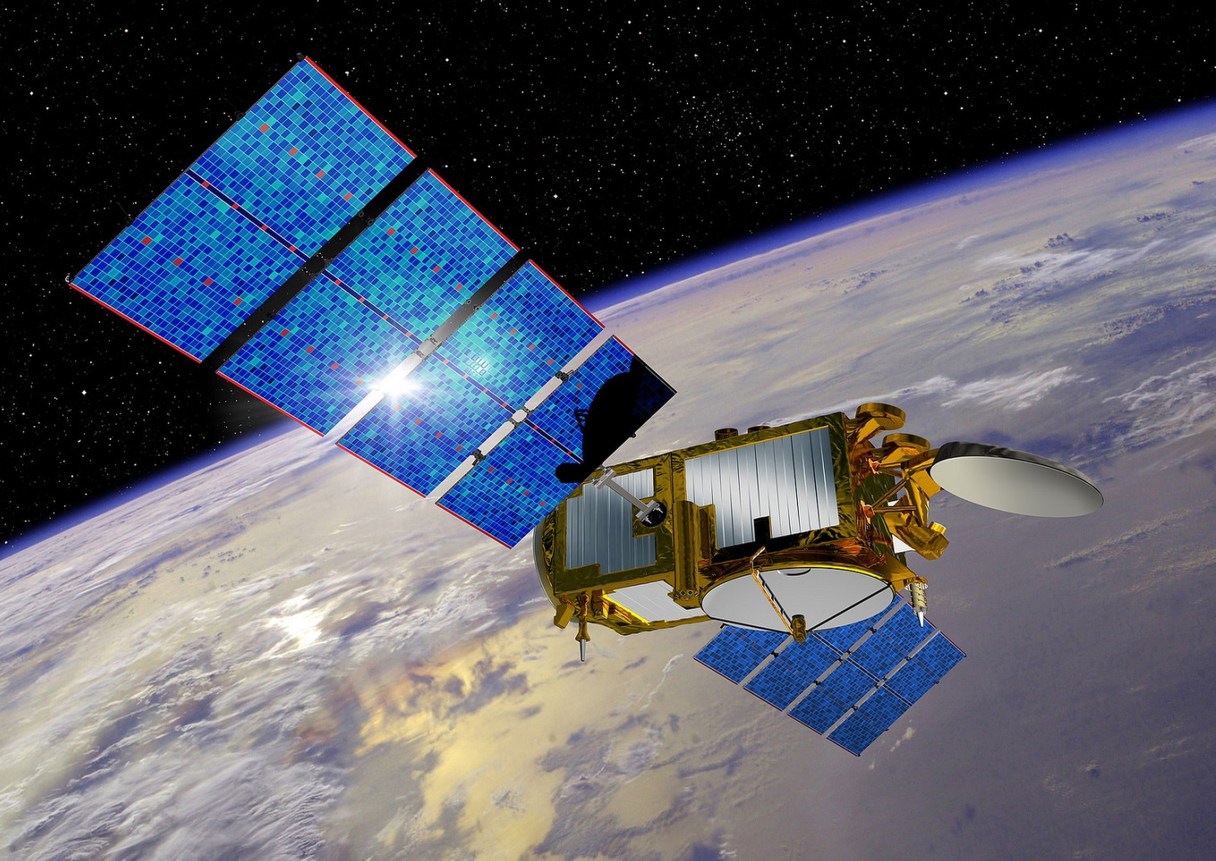
LOS ANGELES (AP) – The latest in a series of U.S.-European satellites designed to detect and measure ocean phenomena like El Nino is scheduled for launch this weekend aboard a SpaceX rocket that will attempt to land its discarded first stage on a floating barge.
If the launch is successful, the Jason-3 satellite would continue an unbroken record of more than two decades of sea level measurements from orbit. Liftoff from Vandenberg Air Force Base, northwest of Los Angeles, was planned for a 30-second window at 10:42 a.m. PST Sunday, with a backup opportunity on Monday.
Air Force meteorologists predicted 100 percent favorable weather for the launch, NASA said.
As the current El Nino in the eastern Pacific has strengthened, Jason-3 has been stuck on the ground. Jason-3’s launch was originally scheduled for August 2015 aboard a SpaceX Falcon 9 rocket. However, the launch was postponed after a different Falcon 9 rocket failed during a supply mission to the International Space Station in June. After correcting the problem, a successful launch last month restored Falcon 9s to flight status.
Like its three predecessors, Jason-3 is equipped with radar altimeter to bounce microwave energy off the ocean and a GPS system to identify the satellite’s precise location. Timing of how long it takes the signal to return indicates sea level height, which rises or falls depending on the temperature of the water.