
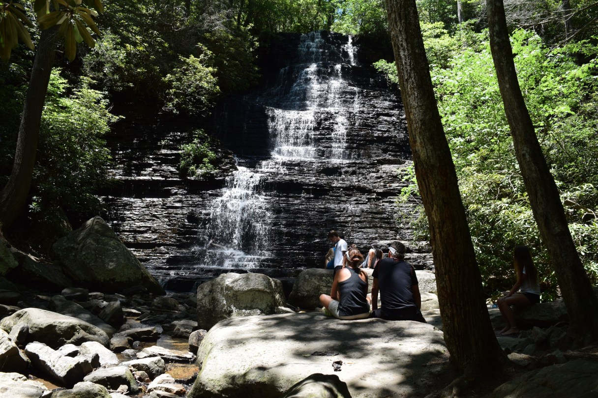



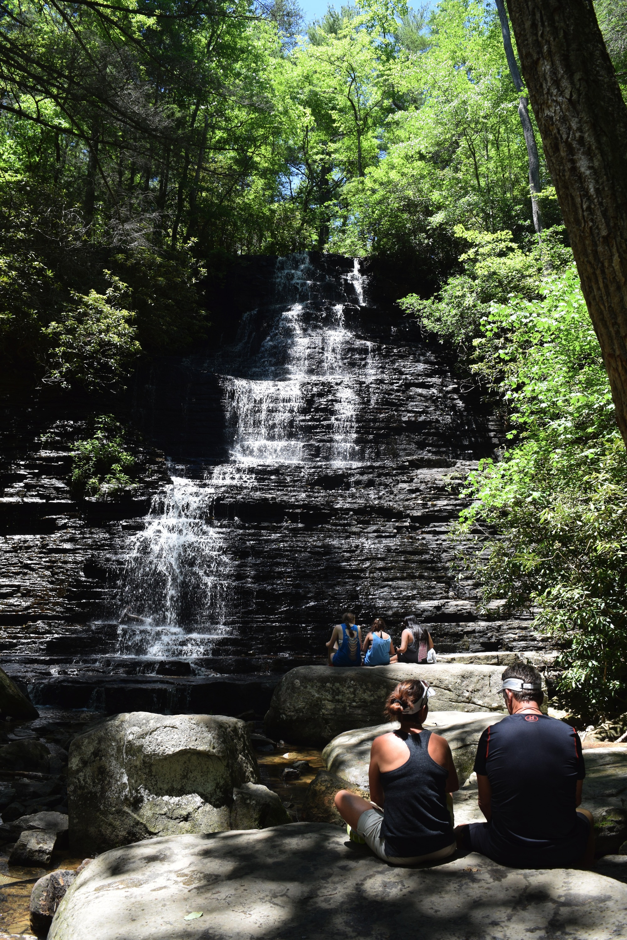

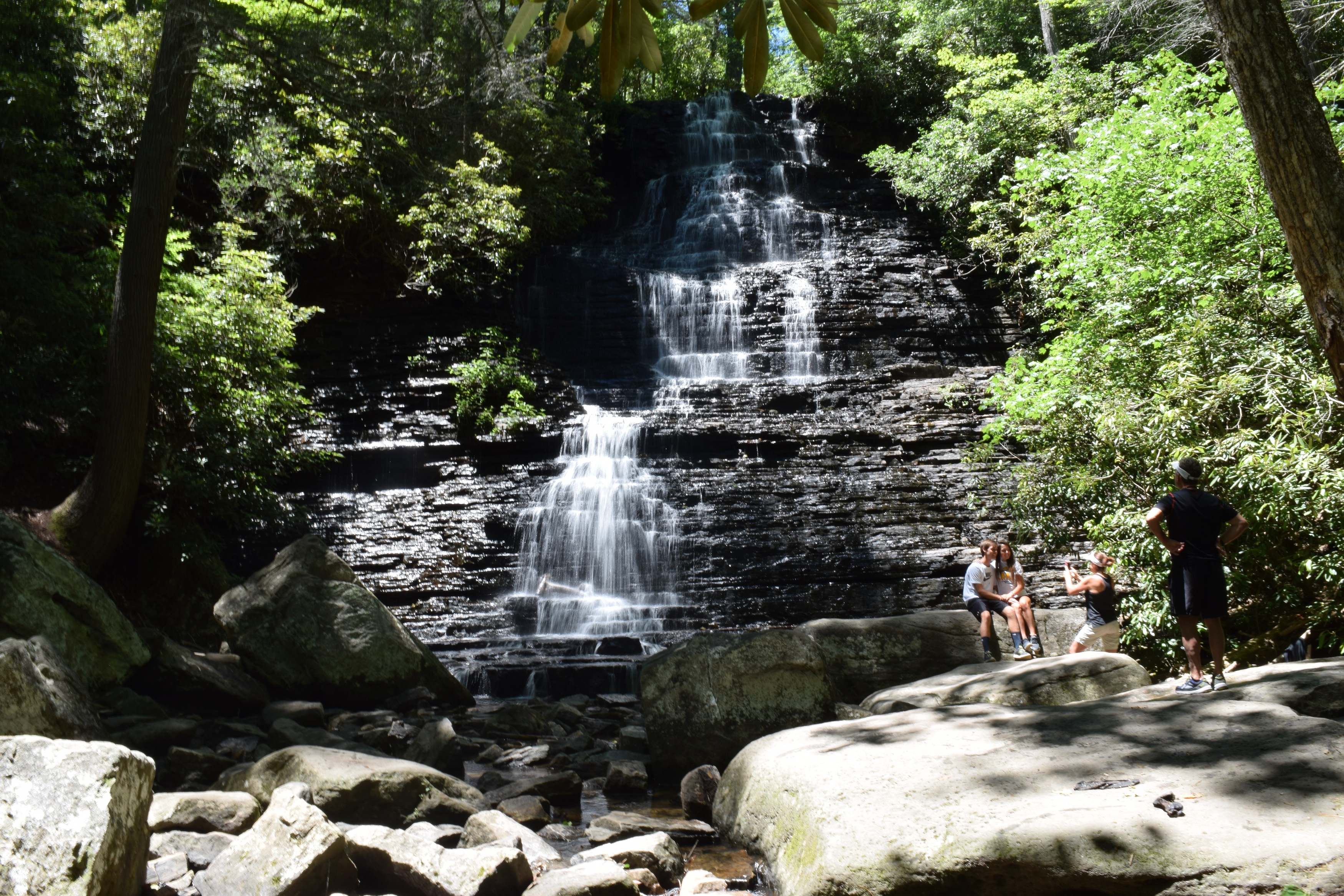
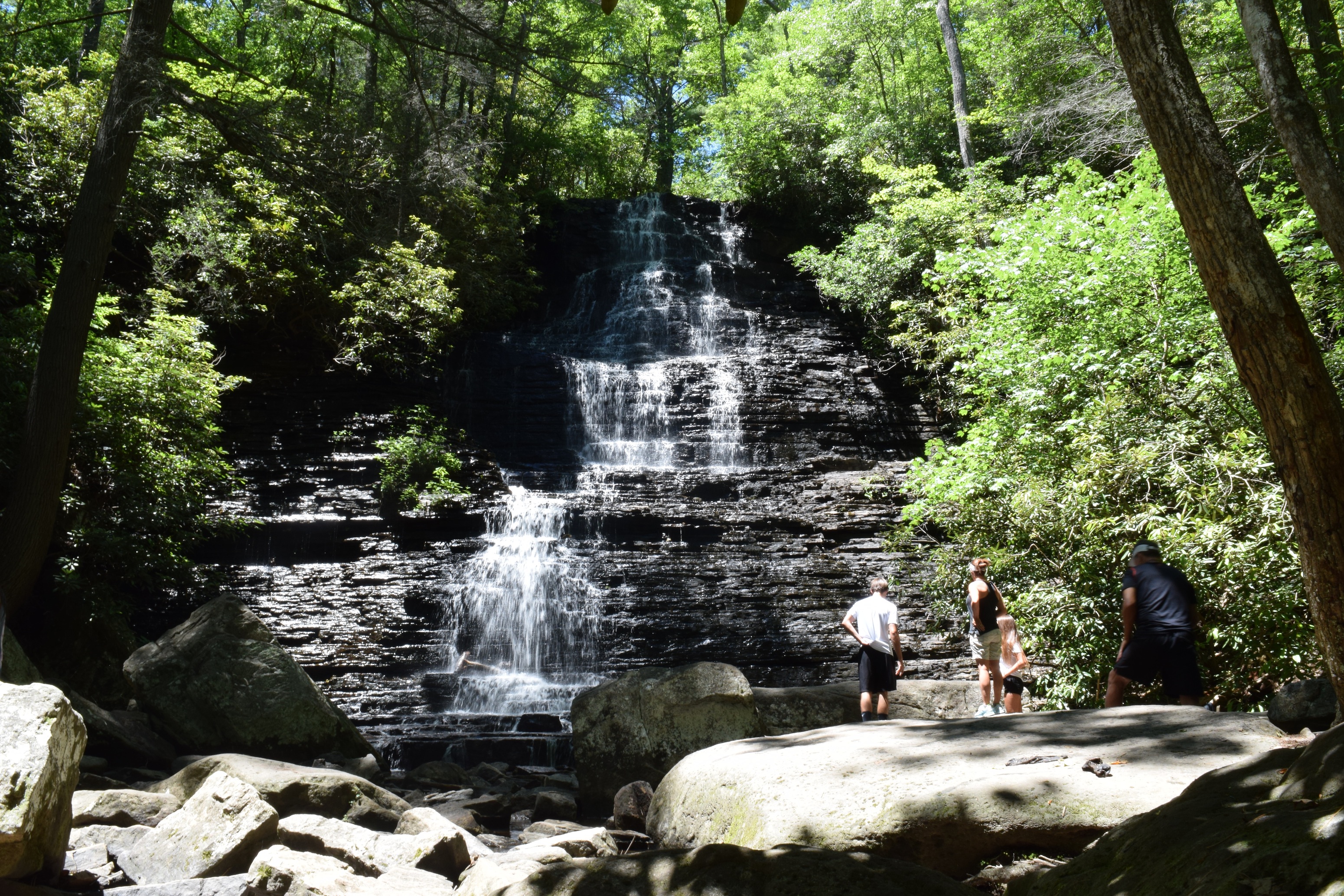
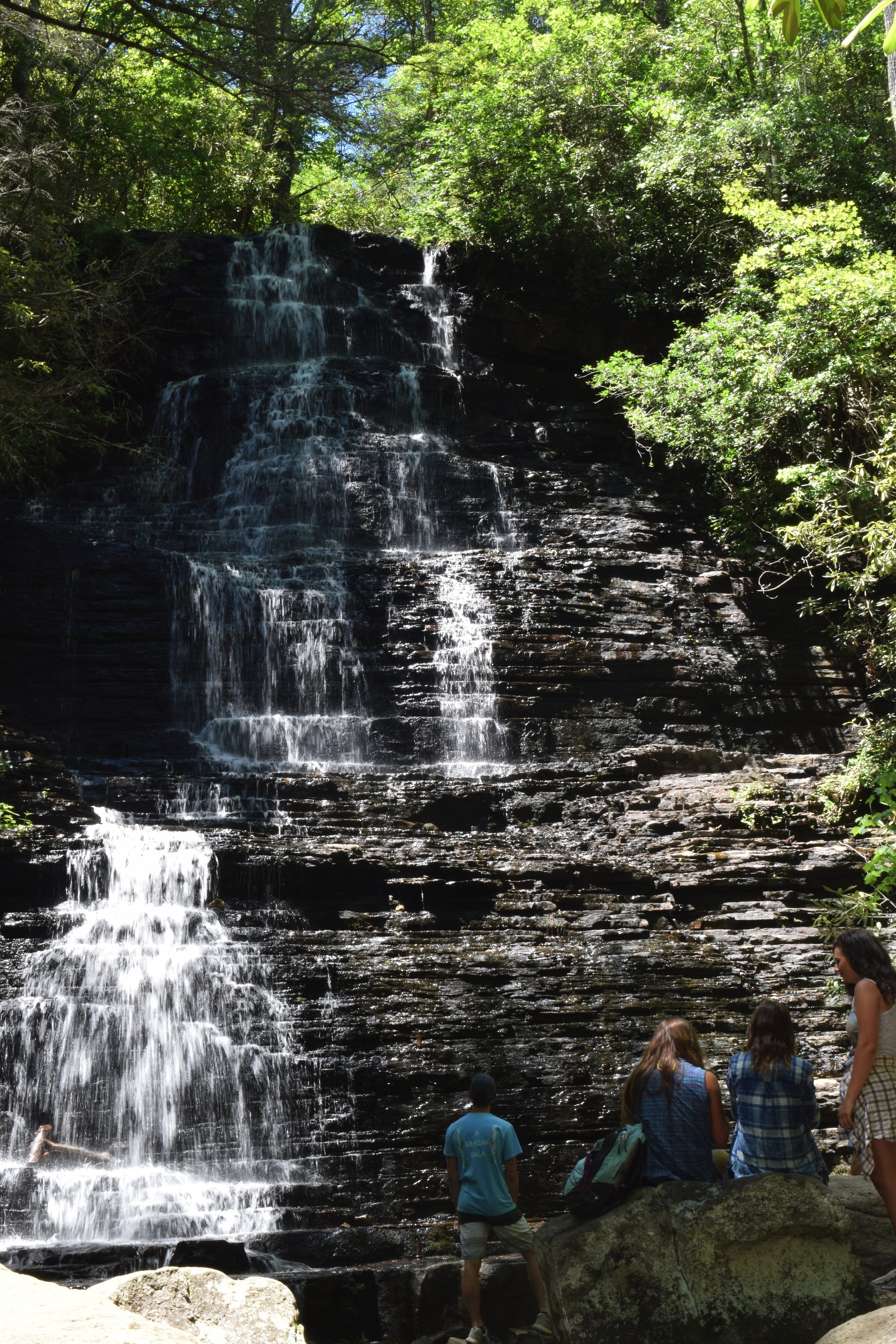
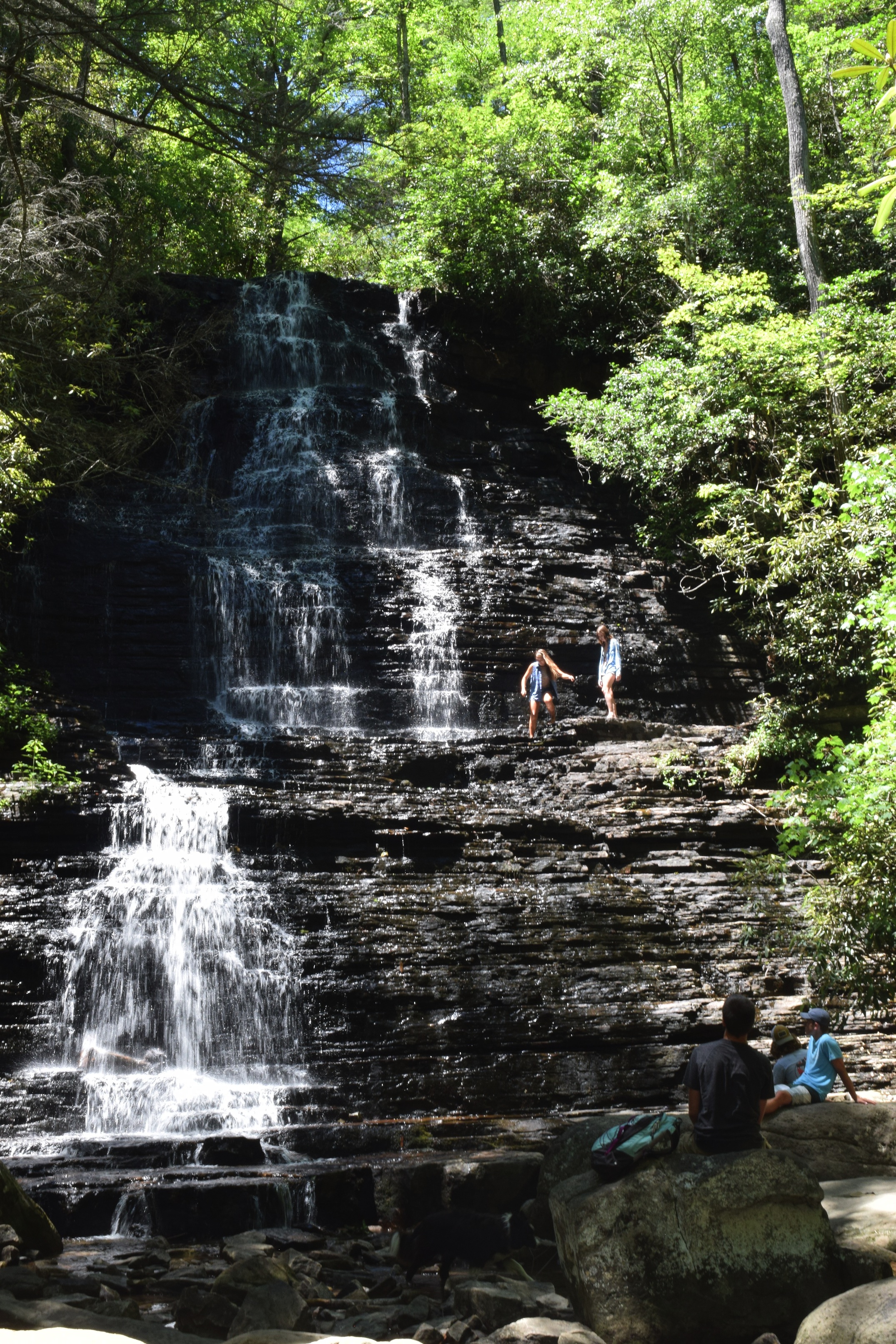
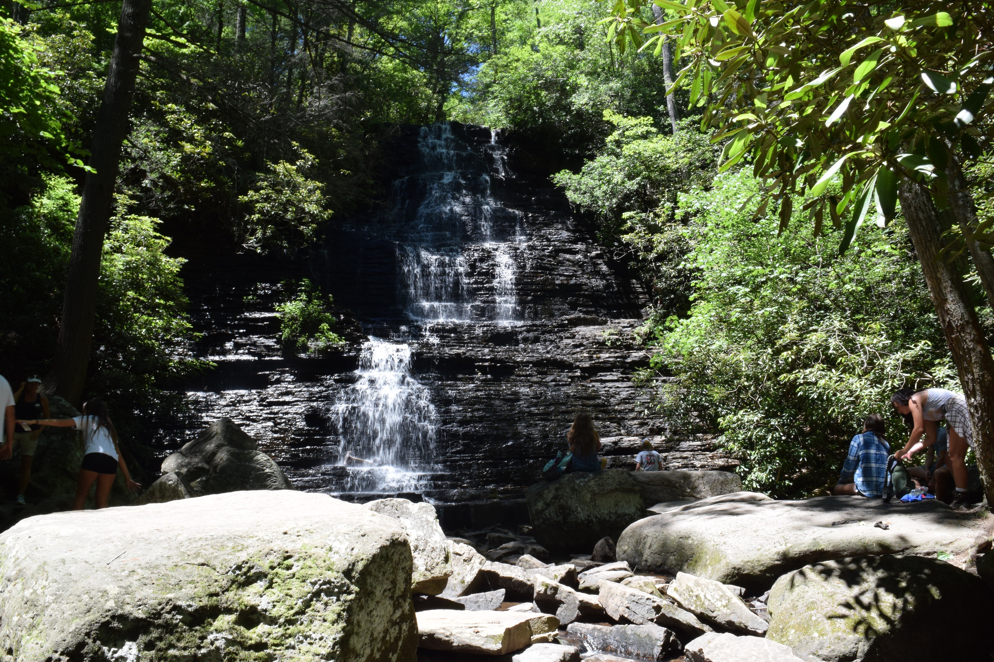
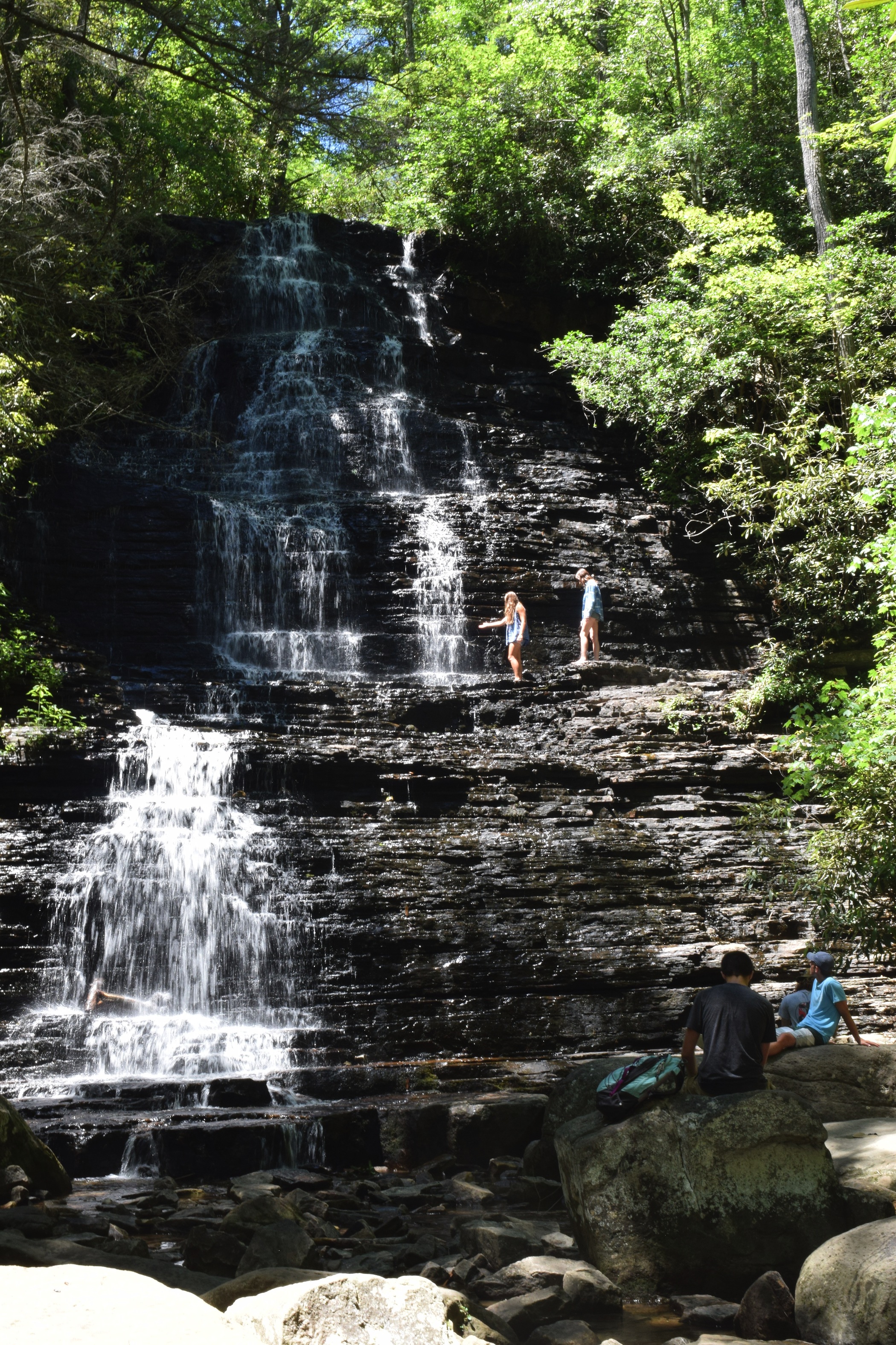
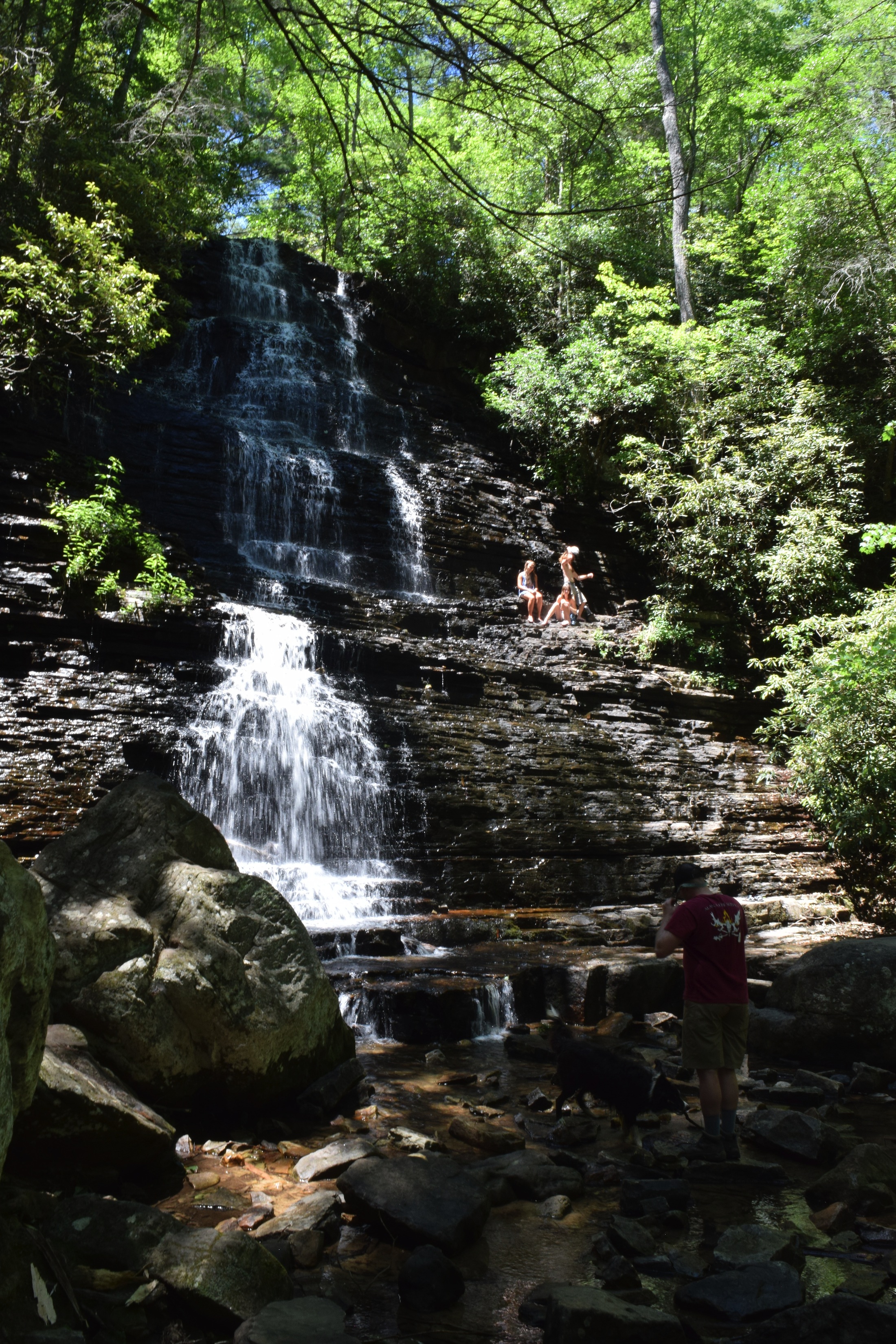
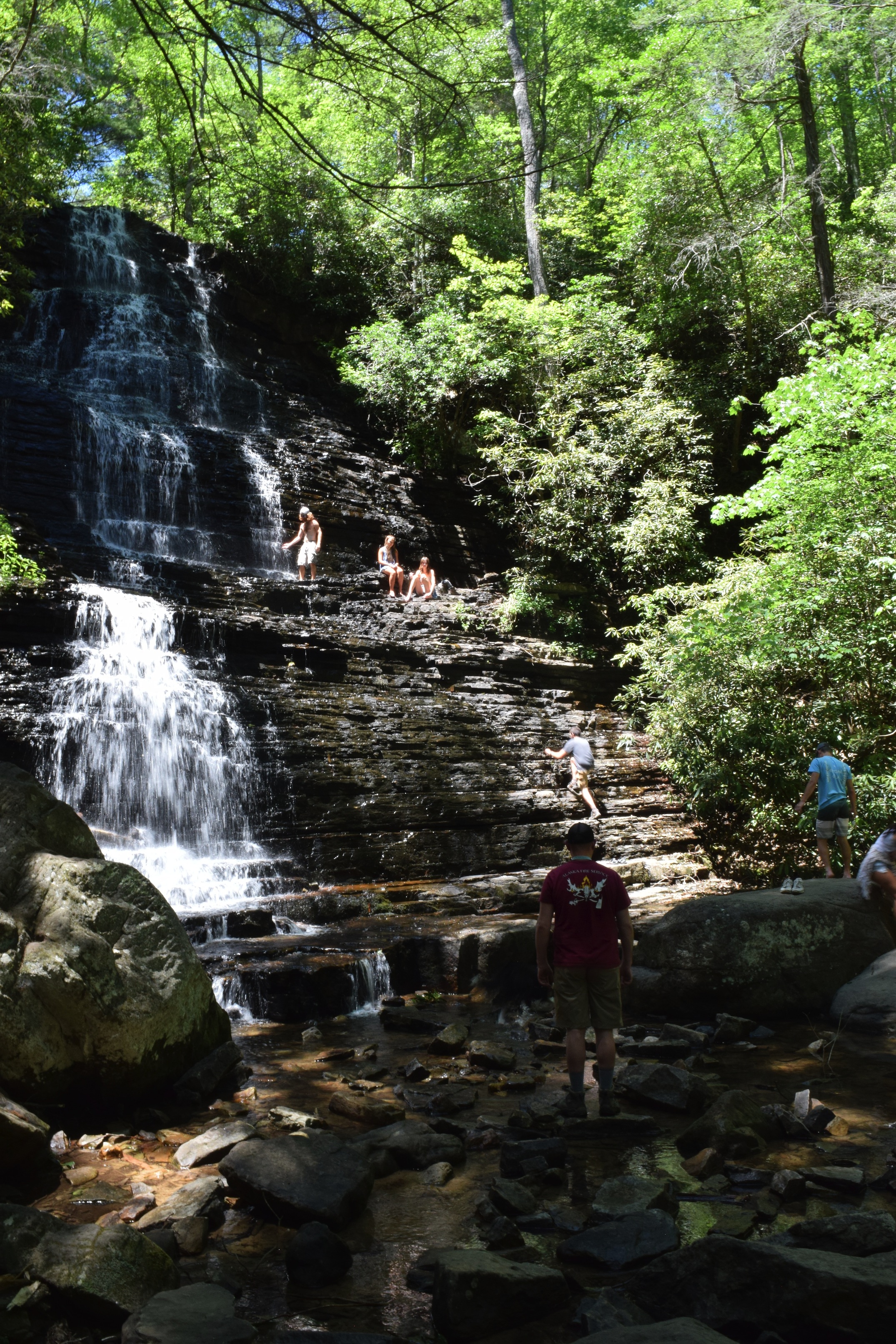
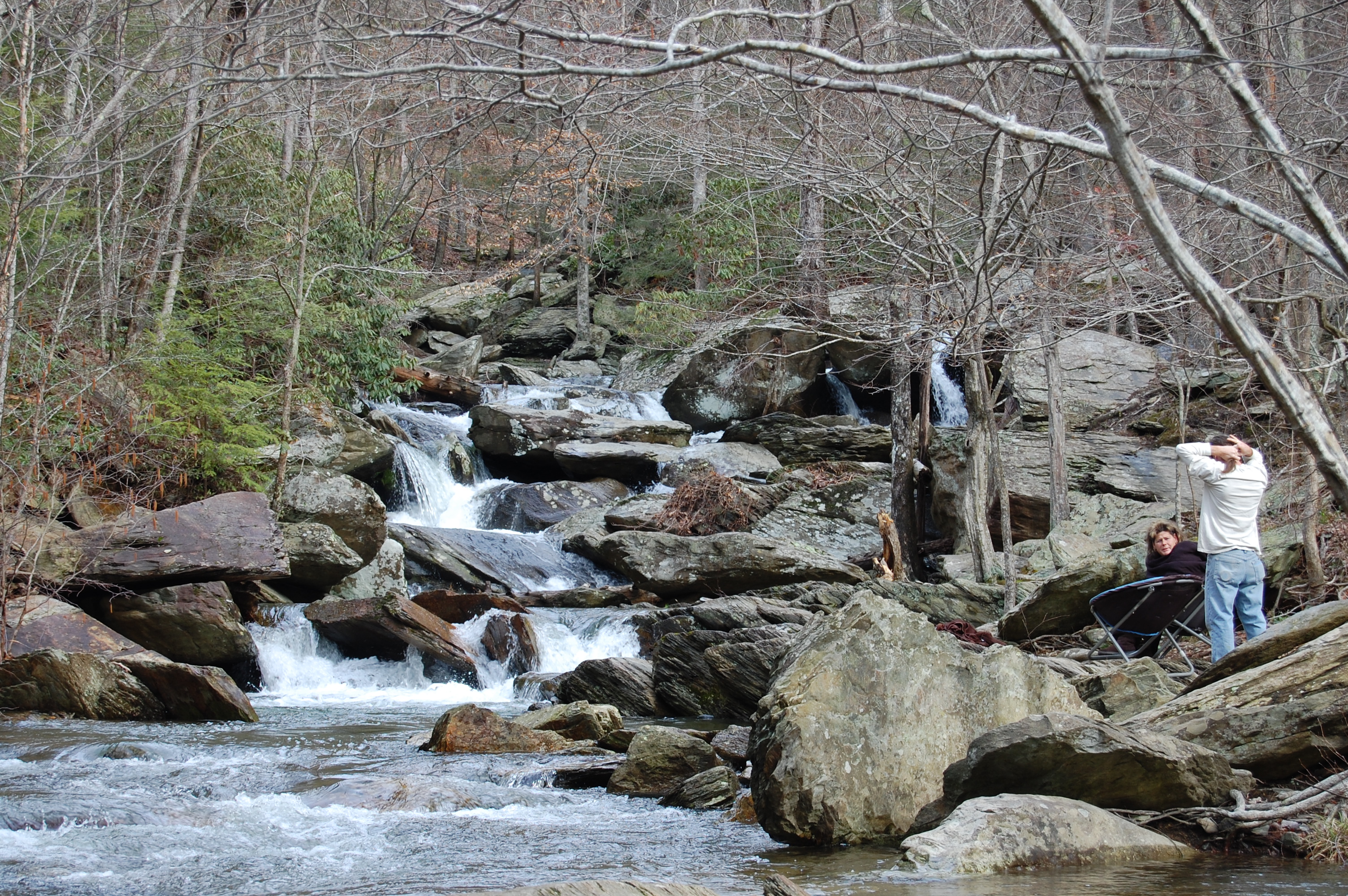
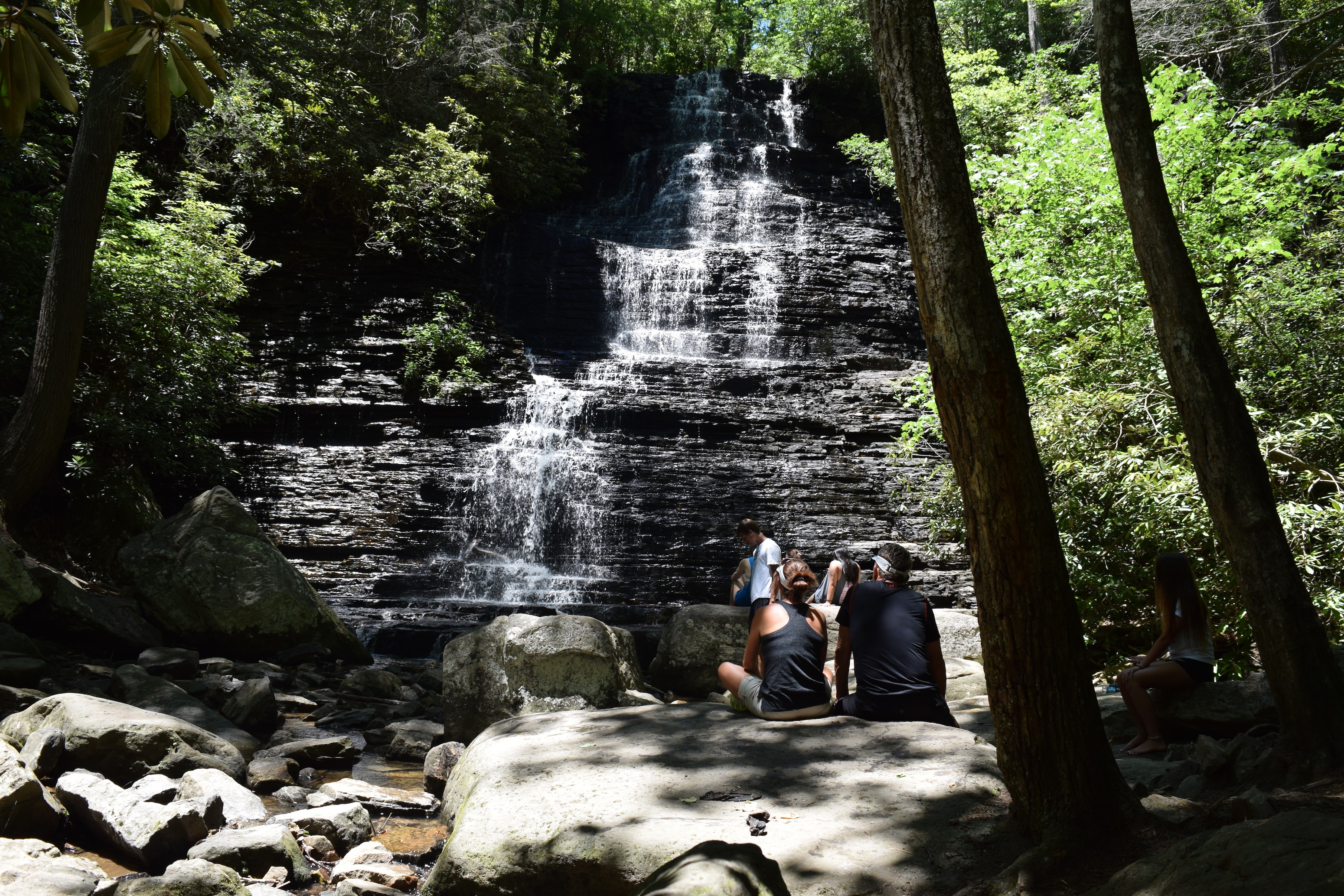
ETOWAH, Tenn. – The Southern Appalachian Mountains that lie within the Tennessee Overhill Heritage Association’s three-county footprint are home to dozens of waterfalls, but for years they have been more side notes than destinations.
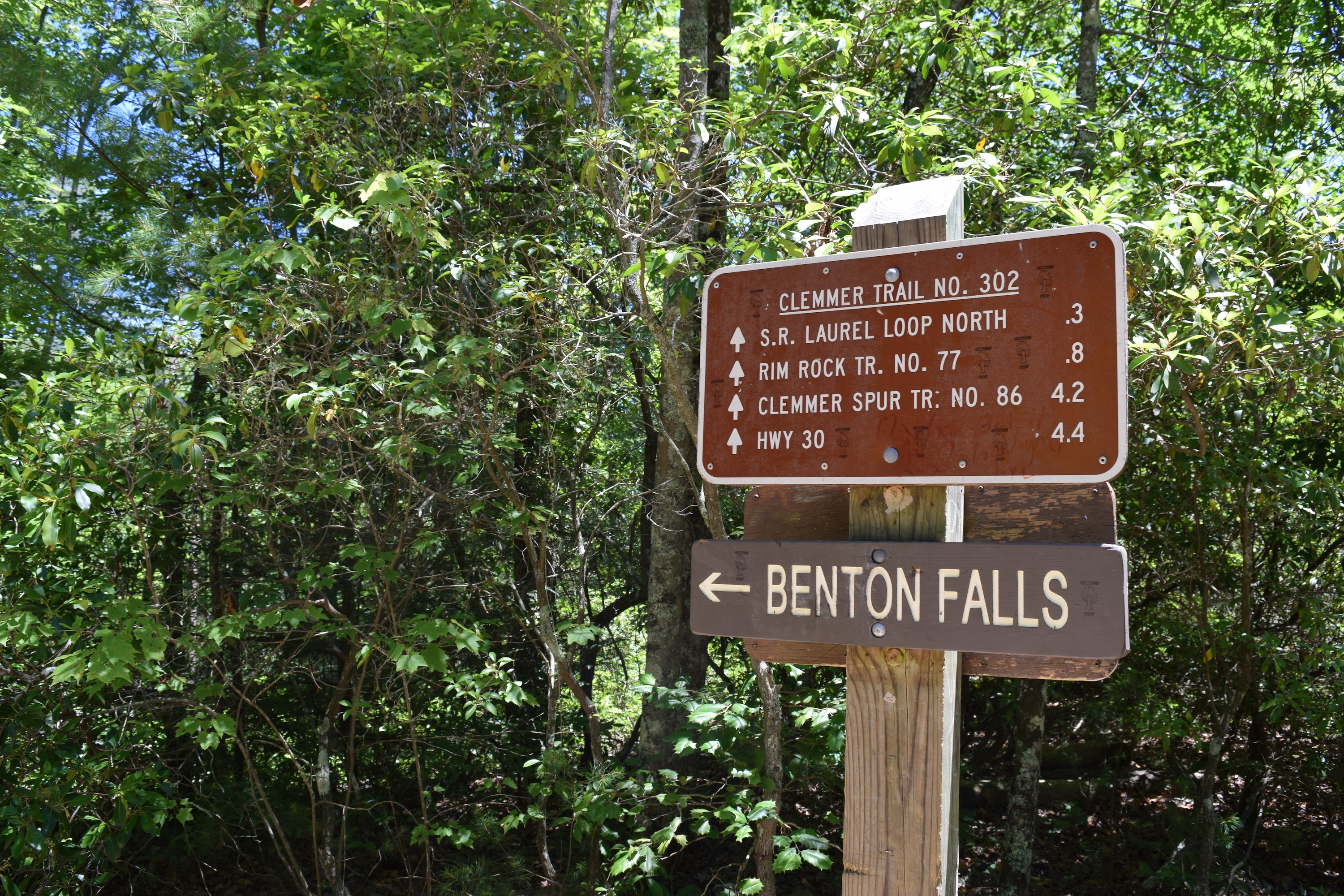
The association, which most people simply call Tennessee Overhill, awaits the next major printing of its new, full-color waterfalls travel brochure, first released last season. The brochure – “Waterfalls of the Tennessee Overhill” – consists of a map, Polk County sites on one side and Monroe County sites on the other, with detailed directions, site descriptions and important notes on accessibility, parking and traveler advice.
“Tennessee Overhill” honors the Cherokee settlements that once sat alongside the rivers that wind through McMinn, Monroe and Polk counties.
Association executive director Gerald Hodge Jr. said supplies of the waterfalls brochure are limited now but he expects to have a new batch in hand “within a month.” People wiped out the brochures when the first printing was released, he said.
The multi-page brochure, which folds out like a map, has lots of details about waterfall sites and other historically or geologically significant sites along the way, Hodge said. All of the waterfalls featured lie in Monroe and Polk counties.