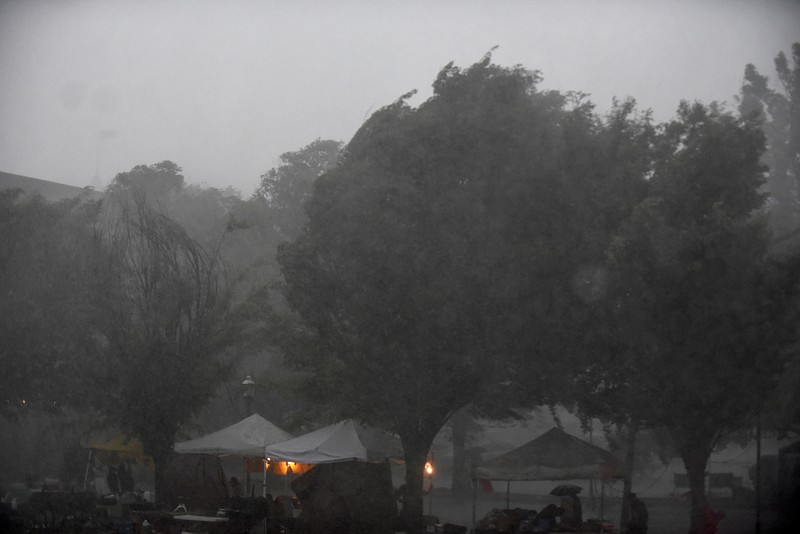
UPDATE: A cold front is moving into the Chattanooga region this afternoon and evening producing scattered to numerous showers and thunderstorms.
Some of these storms could be strong to possibly severe from the mid-afternoon to early evening.
The main threat is hail, damaging downburst winds up to 60 miles per hour, heavy rainfall and lightning, according to a hazardous weather outlook issued by the National Weather Service.
In the Chattanooga area, the alert is for Bledsoe, Bradley, Hamilton, Marion, McMinn, Meigs, Polk, Rhea and Sequatchie counties.
Another storm system will move across the Tennessee Valley on Saturday interacting with a frontal boundary to produce widespread storms across Middle Tennessee and northern Alabama by midday.
These storms will move into east Tennessee and southwest North Carolina by late afternoon and evening.
Some of these thunderstorms may be strong to severe producing large hail, strong damaging winds, heavy rainfall and frequent lightning.
---
ORIGINAL STORY: The National Weather Service predicts strong to severe storms could hit several counties in the Chattanooga region on Friday and Saturday as a cold front moves in to East Tennessee.
Some storms over the weekend could carry quarter-sized hail, damaging downburst winds up to 60 miles per hour, along with heavy rain and lightning, according to a hazardous weather outlook issued by the National Weather Service.

In the Chattanooga area, the outlook is for Sequatchie, Bledsoe, Rhea, Meigs, McMinn, Monroe, Marion, Hamilton, Bradley and Polk counties.
Isolated thunderstorms are also possible Thursday and could bring strong wind, small hail, brief heavy rain and lightning.
Friday and Saturday will likely bring heavier storms that are expected to first hit the Chattanooga area after 2 p.m. but before 8 p.m. on Friday.
On Saturday, a storm system will enter the Tennessee Valley which could produce widespread storms in east Tennessee, as well as parts of Alabama and Georgia.
The storms could produce large hail, damaging winds, heavy rain and lightning.
According to the National Weather Service's detailed forecast, the chance for storms will be greatest after 2 p.m. on Saturday in the Chattanooga area.
The federal weather agency has also warned that the heavy rainfall could produce flash flooding in some areas.