
Forecast
TODAYCool, clouds buildingHigh 49/Low 28FRIDAYLight snow showersHigh 35/Low 29SATURDAYSome clouds, coldHigh 38/Low 23SUNDAYBitterly coldHigh 36/Low 20Source: WRCB
The city of Chattanooga is planning to mobilize eight brine trucks today, but a winter storm system that could blanket much of the South in the coming days is not expected to bring significant snow to the area, meteorologists said Wednesday.
“What I’m looking at is very, very minor,” WRCB-TV chief meteorologist Paul Barys said. “It doesn’t look bad at all.”
Friday and Friday night appeared the most likely times for any snow, according to Barys, who added that an inch or less of snow on the Cumberland Plateau and “trace amounts” in the valley were likely.
“And the worst would be in the Blue Ridge Mountains with 1 to 2 inches at the most,” he said.
Temperatures today are expected to rise to an afternoon high of 49 before a cold snap descends on the area Friday.
National Weather Service meteorologist Derek Eisentrout said the best chance for wintry precipitation in the area is in upper East Tennessee. Hamilton County, he said, is likely to receive less than a half-inch of precipitation before temperatures return to the 40s and 50s next week.
“The biggest issue with this is that any precipitation you do get – and it won’t be much – is that, even if it’s rain, it may freeze and refreeze,” Eisentrout said.
With projected high temperatures around freezing Friday and Saturday, black ice and slick bridges and overpasses are a possibility, he said.
Enter the city’s City-Wide Services division.
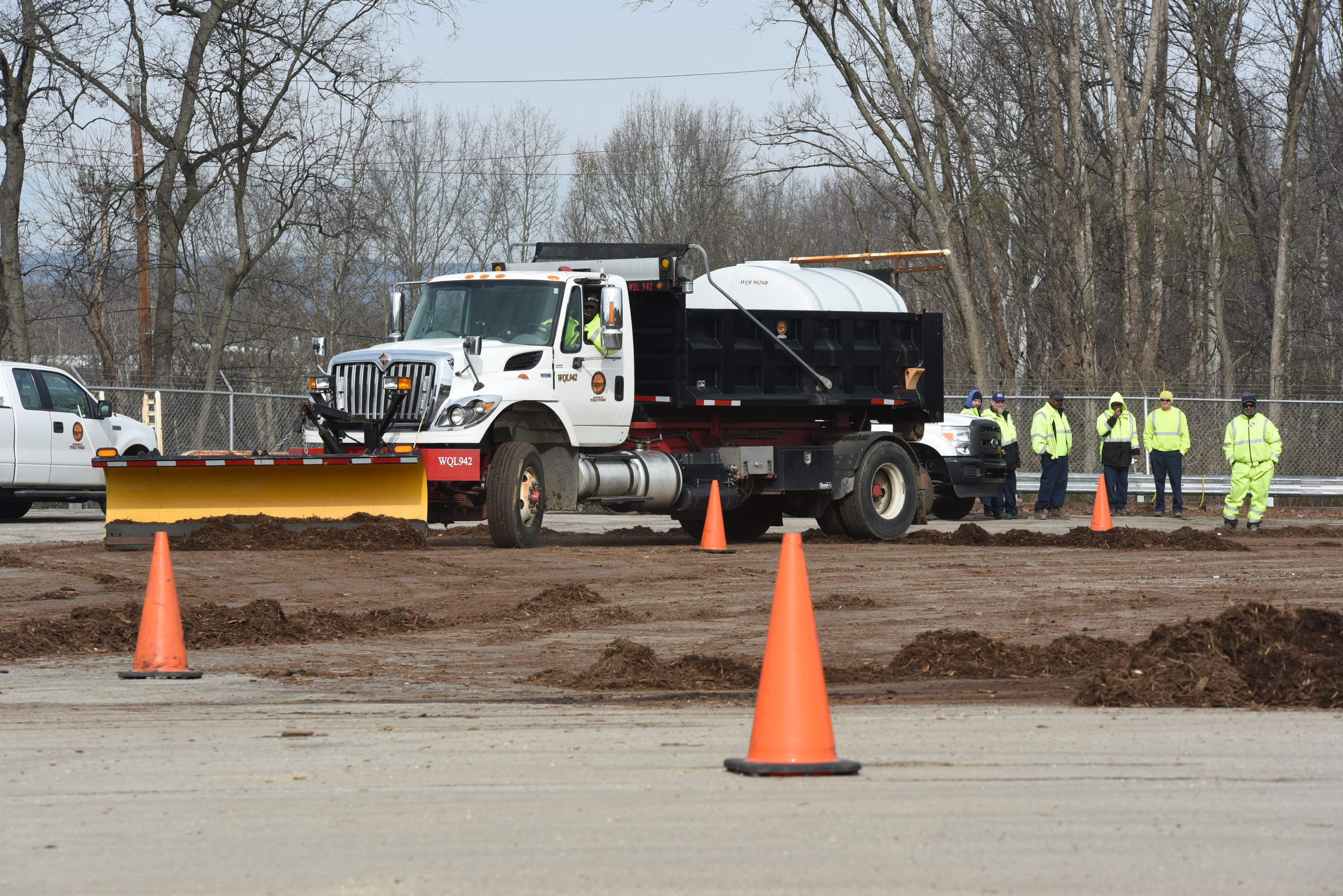
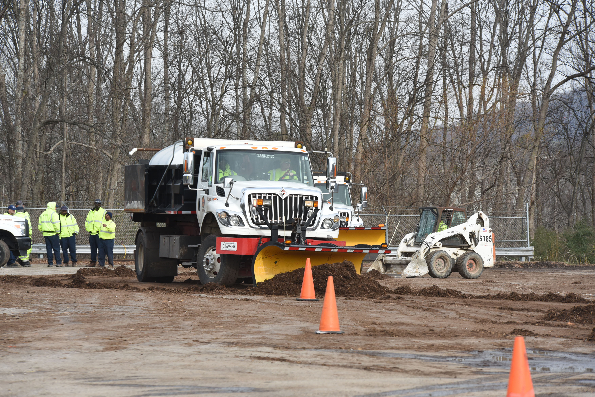
Several dozen of the division’s workers practiced driving snowplows Wednesday in a recycling center parking lot on North Hawthorne Street, moving dirt instead of snow and navigating around orange cones instead of cars.
“We try to practice a couple of times a year, especially with the plows, because that’s not something we use on a regular basis here,” said Rick Colston, deputy director of citywide services.
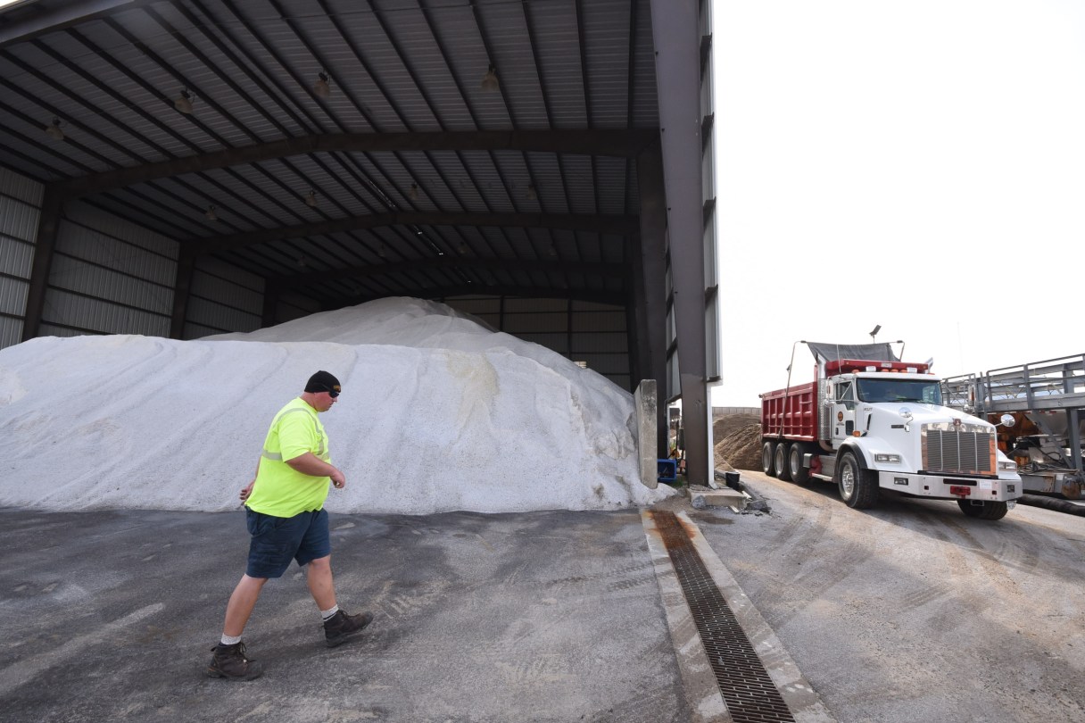
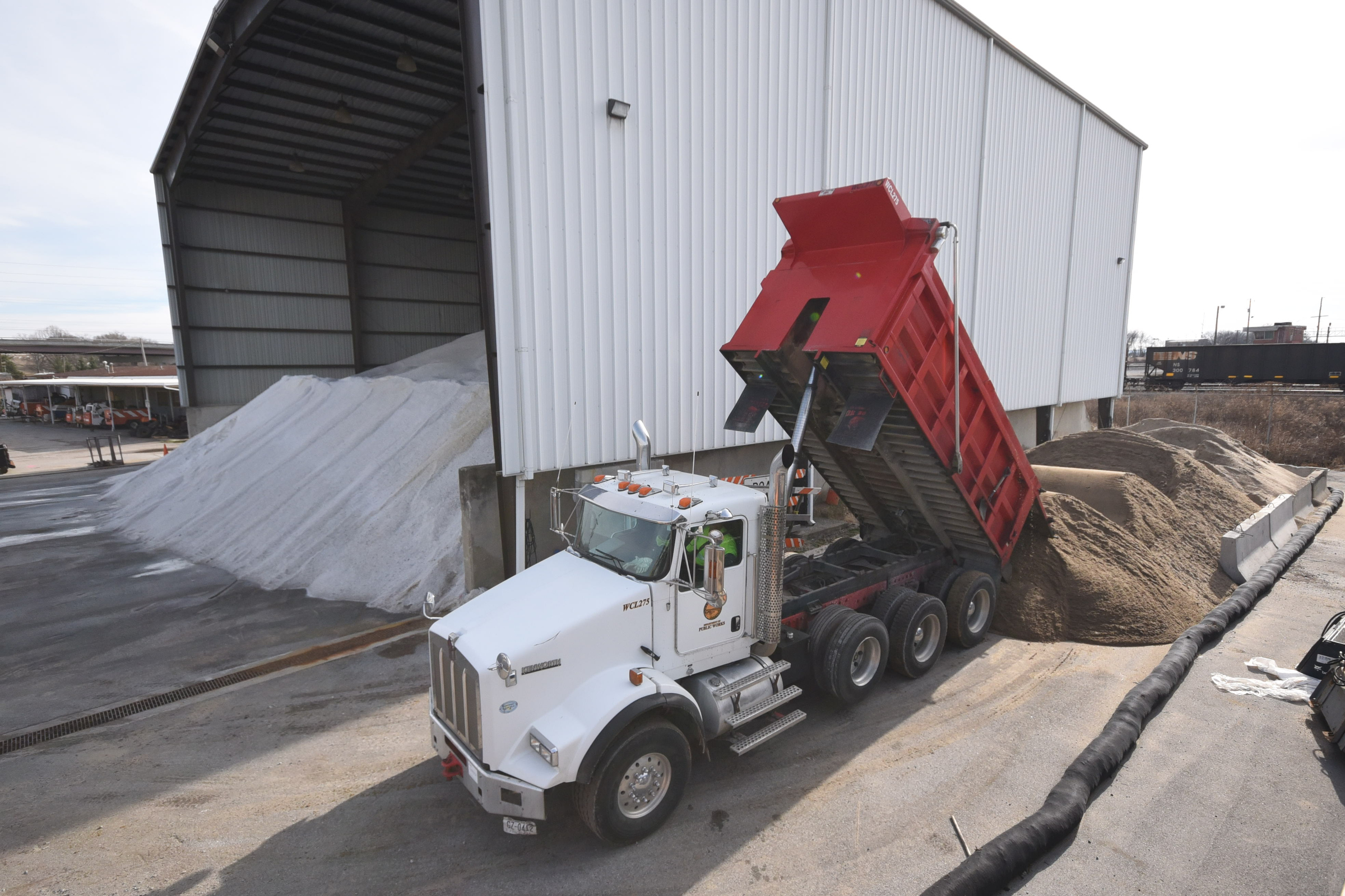
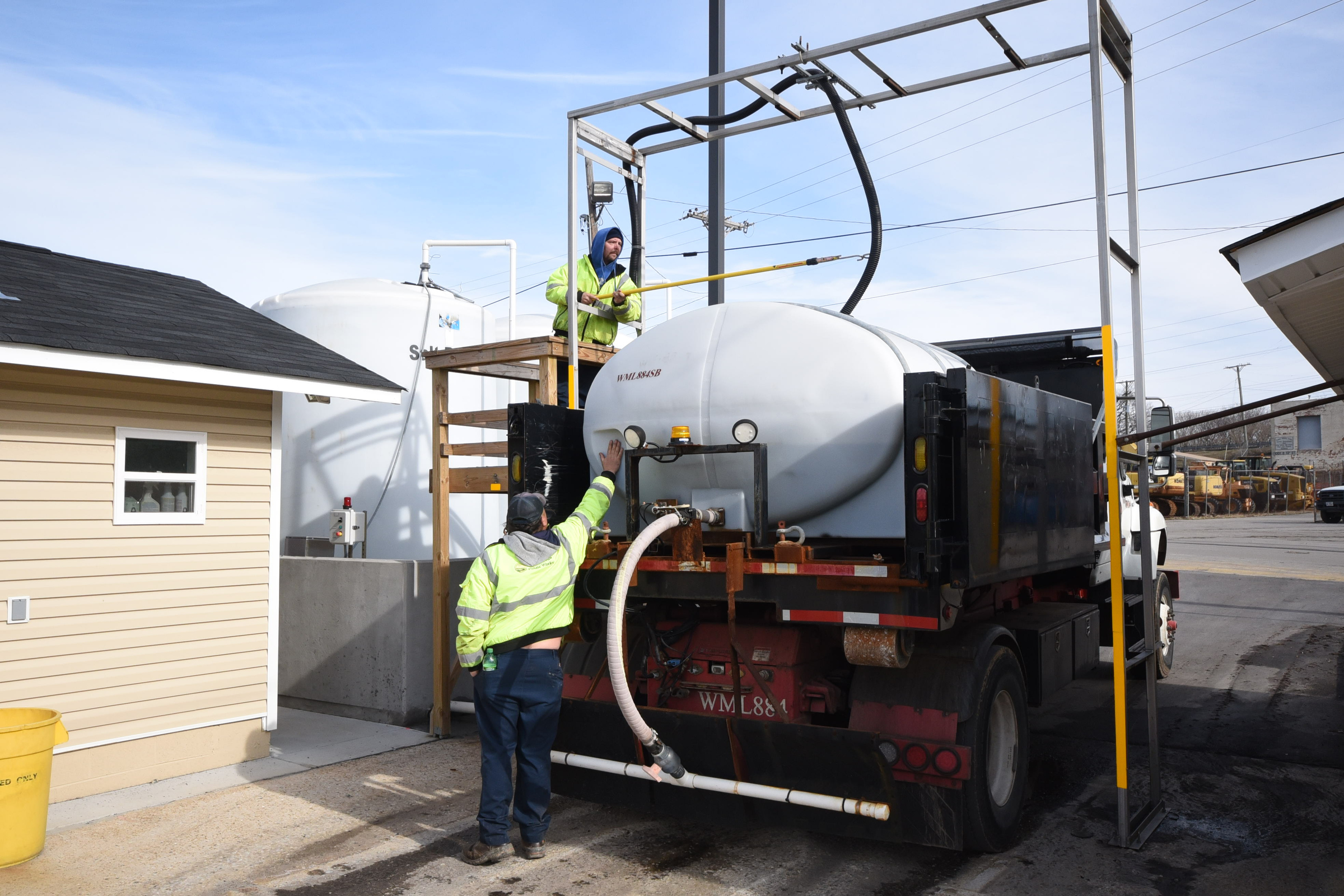
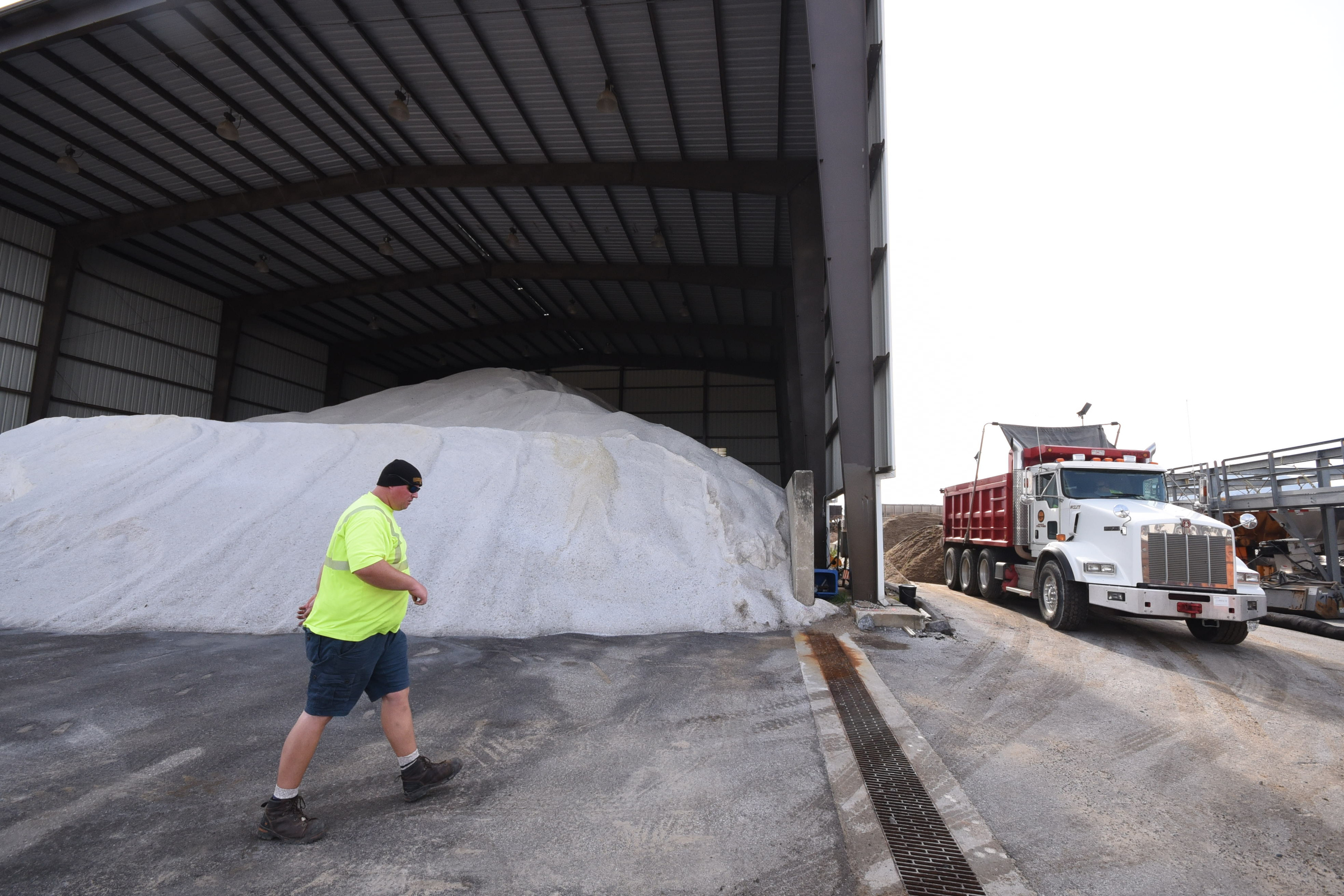
At City-Wide Services’ headquarters off East 11th Street, the division loaded trucks with brine Wednesday in preparation for this morning’s brine operation.
“What they’ll do first is hit higher elevations and bridges,” Colston said. “Then we’ll hit the fire halls, schools and hospital entrances and exits. Then we’ll cover the primary routes.”
Forecasters expect the weather system to impact much of the South, from Texas all the way east to the Carolinas.
Even parts of the deep South – including Louisiana, Mississippi and Alabama – were bracing for the possibility of snow by Friday, The Associated Press reported.
Freezing rain and ice are also possible in areas such as Atlanta, where frozen freeways have shut down traffic in past storms. Forecasters said they don’t expect the worst of the wintry weather to strike metro Atlanta until after schoolchildren are dismissed Friday afternoon.
In Louisiana, weather service forecasters said they expect a potential mix of wintry weather will move in fast Friday night.
The Associated Press contributed to this report.
Contact staff writer David Cobb at dcobb@timesfreepress.com or 423-757-6249.
WEATHER ALERTS
Winter Storm Warnings
GEORGIA
Catoosa County
Dade County
Murray County
Walker County
Whitfield County
TENNESSEE
East Polk County
NORTH CAROLINA
Cherokee County
Winter Storm Watches
Bradley County
Hamilton County
McMinn County
Meigs County
Rhea County
West Polk County
Winter Weather Advisories
TENNESSEE
Bledsoe County
Grundy County
Marion County
Sequatchie County