


You can read the latest update here.
—
A winter storm is moving from the Great Plains toward the Southeast, and local schools and government offices are taking preventative measures.
Hamilton County Schools and school-age child care will be closed, while Dalton Public Schools will dismiss early at 11 a.m. Walker County Commissioner Shannon Whitfield has closed the local transit system for Friday “out of extreme caution,” he wrote in a news release. The bus system will still run for dialysis and medical patients, he said in a news release tonight.
Tomorrow’s scheduled town hall meeting with Tennessee Education Commissioner Candice McQueen has also been canceled due to weather concerns.
All campuses of Georgia Northwestern Technical College will close at noon (12 p.m.) today (Friday Jan. 6) due to impending severe weather. All classes, events, and activities after 12 p.m. have been canceled.
Due to changes in weather patterns, all Bradley County Schools will dismiss 1 hour early. Buses will run their regular bus schedules. All after school events, including the YMCA afterschool program, are cancelled. Please be safe.
UTC is closing early today at 1 p.m. and will re-open tomorrow afternoon.
The office of North Georgia Health District 1-2 of the Georgia Department of Public Health based in Dalton is cllosed this afternoon due to the potential for dangerous winter road conditions.
A complete list of closings and delays is attached to the bottom of this article.
The National Weather Service believes the storm will intensify in southeast Tennessee by Friday afternoon, WRCB chief meteorologist Paul Barys said. He believes Chattanooga and valley areas will experience an inch or less of snow while North Georgia could see an inch to an inch and a half. He predicts the Cumberland Plateau will get between one and two inches of snow.
The Vipircast computer model, WRCB’s in-house computer reading, has been more anti-snow than the National Weather Service, Barys said, but it is still showing snow coming to the area tomorrow. The National Weather Service is predicting for slightly more snow than Barys, but he believes the Chattanooga area will get between a half inch and an inch of snow.
“The main thing we want to get out of this, is that there is a chance tomorrow afternoon and tomorrow evening, especially overnight, that you may see a couple inches of snow at least and maybe a little bit more in the higher elevation areas,” Barys said.
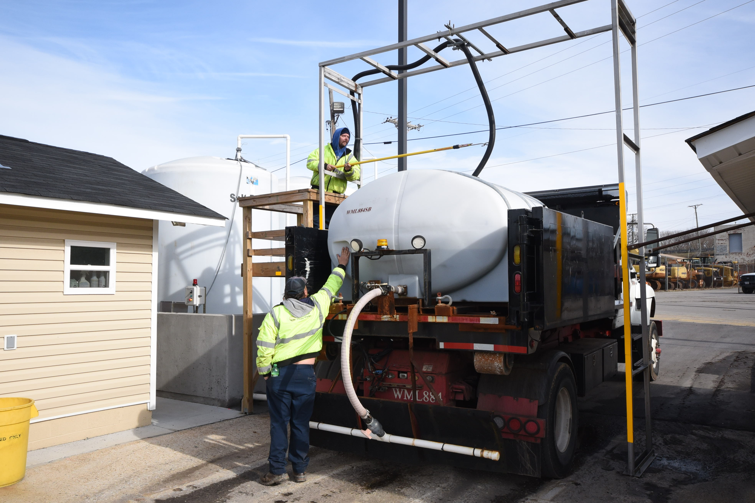
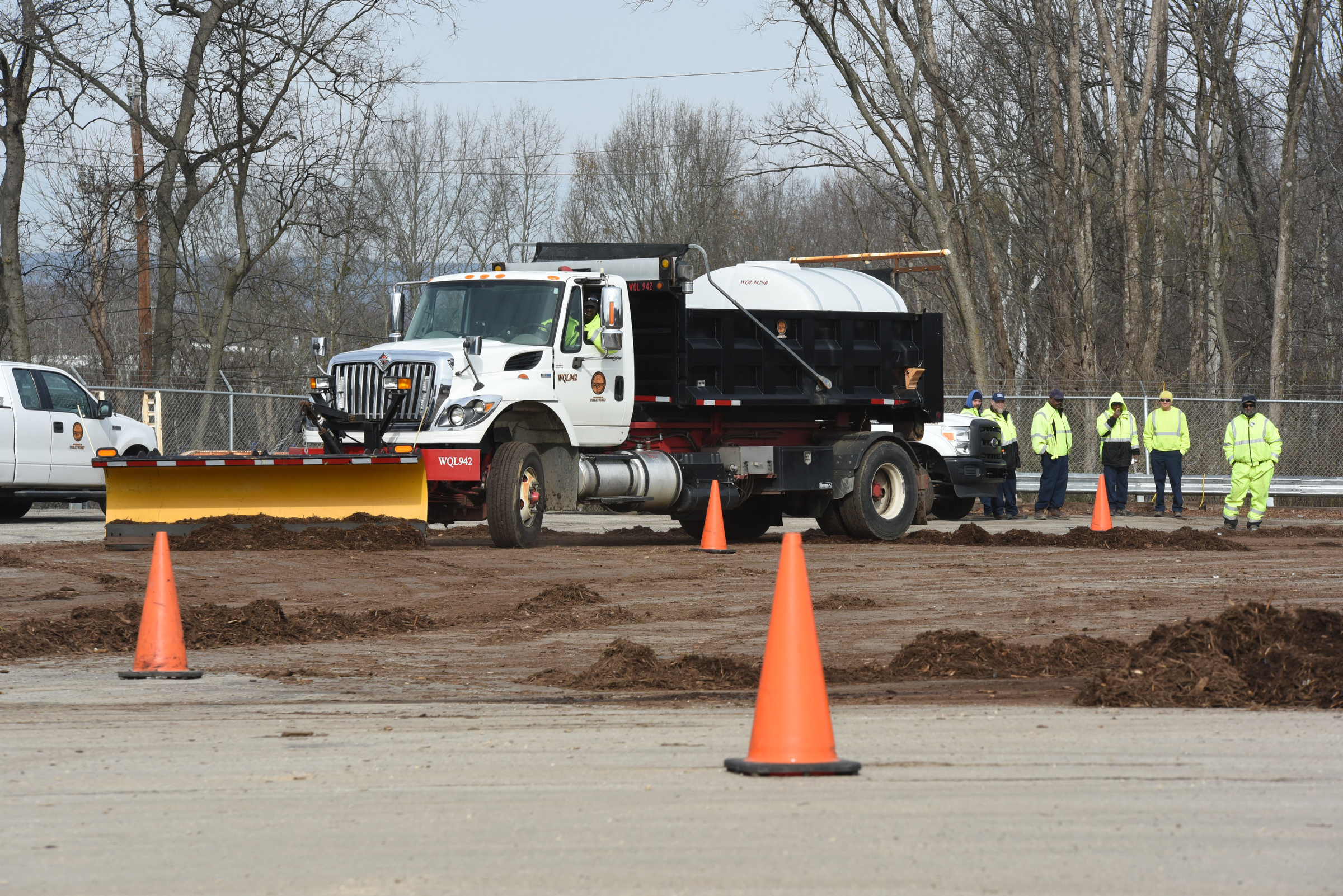
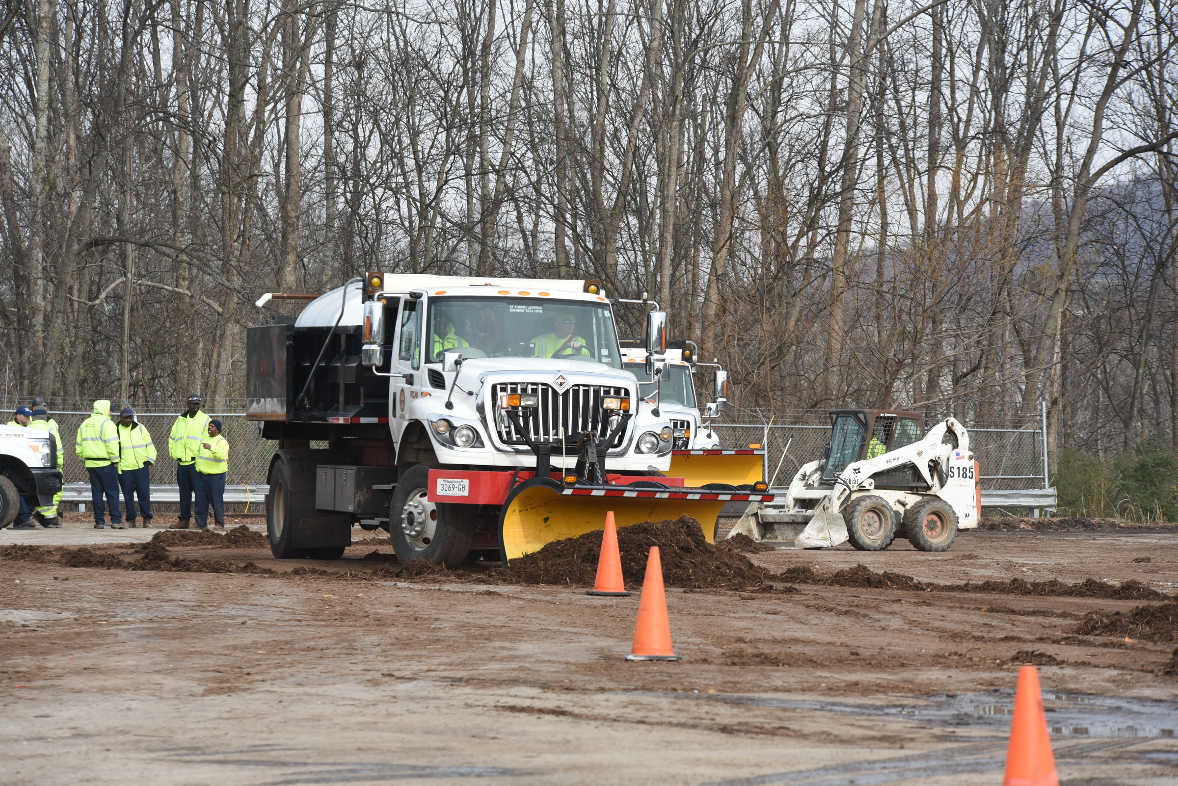
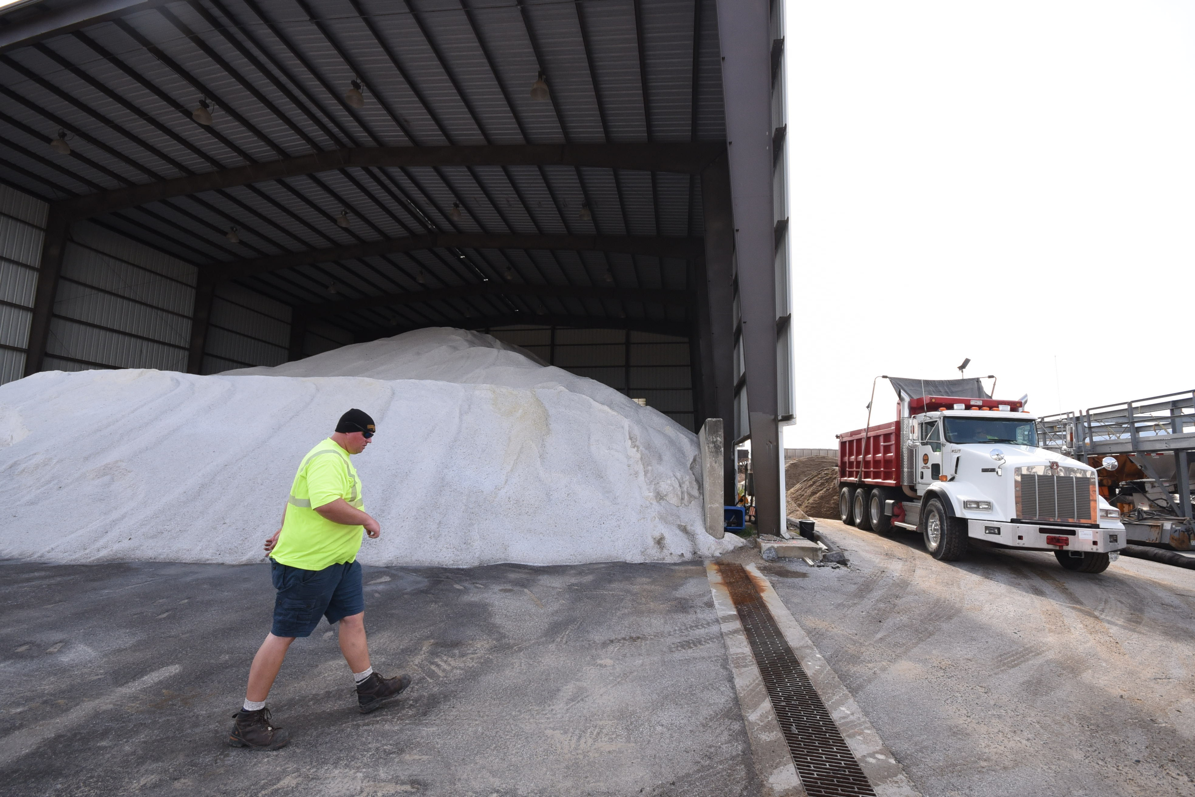
Chattanooga Public Works workers have already taken preventative measures. Crews applied 22,000 gallons of salt brine spanning over 700 miles today throughout the city, Public Works Administrator Justin Holland wrote in an email to the Times Free Press. Crews will continue to monitor and treat roadways through the evening, he wrote.
Meteorologists are predicting the storm will intensify farther south.
“Now Atlanta is probably going to get clobbered,” Barys said. “They may see a good four inches.”
While Barys couldn’t say for sure if it would snow in the area, he did say it will definitely get cold and windy tomorrow and into Saturday.
—
ATLANTA (AP) – A winter storm expected to strike the South with freezing rain, sleet and several inches of snow in some areas has prompted early school closings, emergency declarations by two states and a rush by some to stock up on food.
One man in Kentucky died Thursday after his pickup truck slid off a snow-slickened road, authorities said.
The National Weather Service issued a winter storm warning that extended from eastern Alabama through north Georgia, including the Atlanta area, all the way to northeastern North Carolina. Forecasts called for a mix of freezing rain, sleet and snow in the region.
Even a thin layer of ice could make weekend travel treacherous on highways just north of the Gulf Coast all the way to the East Coast, forecasters warned.
Mike Schichtel, lead forecaster at the federal government’s Weather Prediction Center in College Park, Maryland, said the storm threat is significant for the Southeast.
“If you have a four-wheel-drive vehicle and you think you’re safe, you’re not,” Schichtel said of the forecast. “Take it very seriously and adjust your travel plans accordingly.”
In Kentucky, 55-year-old motorist Daniel Noble rounded a curve in his pickup truck and slid off a snow-slick road into a rail fence Thursday about 14 miles south of the city of Jackson, authorities said. Coroner George Griffith of Breathitt County said the man was pronounced dead at the scene, adding about an inch of snow had fallen there at the time.
Crews were out treating roadways early in Kentucky, but officials still urged motorists to use caution as some roadways were covered and slick.
Dozens of school districts in Kentucky, Tennessee and West Virginia either closed Thursday or called off classes early as snow began falling in some areas.
Other states further southward rushed to complete emergency preparations.
Alabama Gov. Robert Bentley issued a state of emergency Thursday that will open its emergency operations center Friday morning. The Alabama National Guard will activate 300 soldiers to help as needed.
Some school systems in central Alabama also are shutting Friday because of the threat there of as much as 3 inches of snow and sleet.
Light to moderate snow could extend from central Alabama into southeastern Virginia late Friday into early Saturday, the Weather Prediction Center said in an advisory.
Some parts of North Carolina could receive 4 inches or more of snow and there’s a “slight risk” of 8 inches or more of snow in eastern North Carolina and southeast Virginia, according to the advisory.
The forecast called for 4 inches or more of snow for parts of Georgia, South Carolina and the piedmont and foothills of North Carolina. The warning for central North Carolina called for a mixture of snow and sleet with up to 5 inches locally and as much as 7 inches from the central piedmont to the northern coastal plain.
Shoppers stocked up on items such as bread and eggs at some North Carolina grocery stores. Sherrill Suitt Craig went shopping at a store near her home, only to leave for a store miles away because her initial stop was too crowded.
“I have no idea why, but people are acting like complete jackasses when they hear that there is snow in the forecast,” Craig said. “I was just doing my regular shopping.”
Snow is also possible in Atlanta, where snow and ice have jammed freeways in past storms. The National Weather Service projects that 2 inches of snow could fall in Atlanta, with slightly higher amounts in some suburbs.
Georgia Gov. Nathan Deal announced Thursday that a state of emergency declaration will take effect at noon Friday for 79 counties. His office said crews will begin treating roads and interstates Thursday and continue Friday. State government offices will remain open Friday.
In late January of 2014, news reports of a snow and ice storm prompted office workers in Atlanta to leave work early and flood freeways at roughly the same time. The crush of traffic, combined with snow and icy conditions, clogged interstates for miles. Trucks blocked many freeways, children were stranded on school buses, and several drivers were forced to sleep in their cars overnight.
This time, forecasters say, they don’t expect the worst of the wintry weather to strike metro Atlanta until after schoolchildren are dismissed and the workday ends on Friday.
WEATHER ALERTS
Winter Storm Warnings
GEORGIA
Catoosa County
Dade County
Murray County
Walker County
Whitfield County
TENNESSEE
East Polk County
NORTH CAROLINA
Cherokee County
Winter Storm Watches
Bradley County
Hamilton County
McMinn County
Meigs County
Rhea County
West Polk County
Winter Weather Advisories
TENNESSEE
Bledsoe County
Grundy County
Marion County
Sequatchie County