
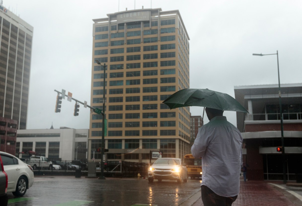
After a soaking week, Chattanooga is expected to get a break from the heavy rain starting this weekend.
Since Saturday, July 1, the city has received 3.37 inches of rain, over double as much received at this time in 2016, according to WRCB Chief Meteorologist Paul Barys.
Chattanooga has also received over 36.54 inches of rain this calendar year as of July 6, which is well above the average of 27.80 inches, according to Jeremy Buckles, a meteorologist at the National Weather Service in Morristown, TN. This is in stark contrast to last year when Chattanooga was in what is considered “extreme drought” with only 19.44 inches of rain between Jan. 1 and July 6, 2016.
FIVE-DAY FORECAST
SATURDAY Possible showers and thunderstorms storms, high of 86, low of 72 SUNDAY Scattered thunderstorms, high of 90, low of 68 MONDAY Warm and mostly sunny, high of 93, low of 66 TUESDAY Some clouds, high of 92, low of 70 WEDNESDAY Spotty showers and storms, high of 91, low of 73 Source: WRCB
Buckles said the rain is “something to be happy about.”
“This time last year Chattanooga was in what we refer to as D3, or extreme drought conditions, and the rain received recently in the past six months or so went a long way to alleviating that drought,” Buckles said.
However, the rain will continue into Saturday, when the NWS is predicting a cold front to push through the area, lower humidity levels and a 30 percent chance of scattered showers and thunderstorms. Some of these storms may strong winds and locally heavy rain.
After the front moves through Saturday afternoon, humidity levels will drop and the area will dry out that night, making for some pleasant weather on Sunday and Monday, according to Barys.
“We’ll see a lot of sunshine and high temperatures in the mid to upper 80s,” Buckles said. “However, we may start to get back into that summertime pattern of some afternoon showers and thunderstorms.”
As the weekend comes to an end, there will be approximately a 20 percent chance of showers and thunderstorms going into next week, according to the NWS.
Barys said the temperature will drop to the mid- to low 60s on Sunday night before climbing back up to the 90s next week.