
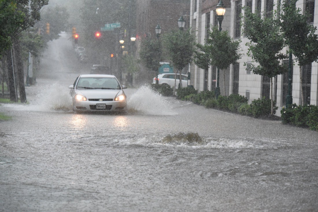
Flood and flash flood watches and warnings are in effect for several Chattanooga area counties Thursday evening through Friday afternoon because of the expected heavy rainfall, according to the National Weather Service and our news partner WRCB. Wind gusts may reach 30 mph in some areas of the Chattanooga region. A wind advisory is in effect for all of Middle Tennessee until Friday morning.
Heavy rain and gusty winds caused damage Thursday across parts of Louisiana and Mississippi.
The National Weather Service reports wind damage in seven Louisiana parishes and seven Mississippi counties from a line of heavy storms that moved eastward across the area Thursday.
Possible tornadoes hit Franklin Parish in northeast Louisiana and Yazoo County in central Mississippi, although meteorologists will have to survey damage to confirm if there were twisters.
Forecasters say there’s a marginal chance of tornadoes Friday in a band stretching from the central Gulf Coast to southeast Virginia.
High winds are also predicted across parts of Alabama, Georgia, Kentucky, Tennessee, South Carolina, North Carolina and West Virginia.
The same system produced numerous reports of trees down and power outages across Texas and Arkansas late Wednesday and early Thursday.