
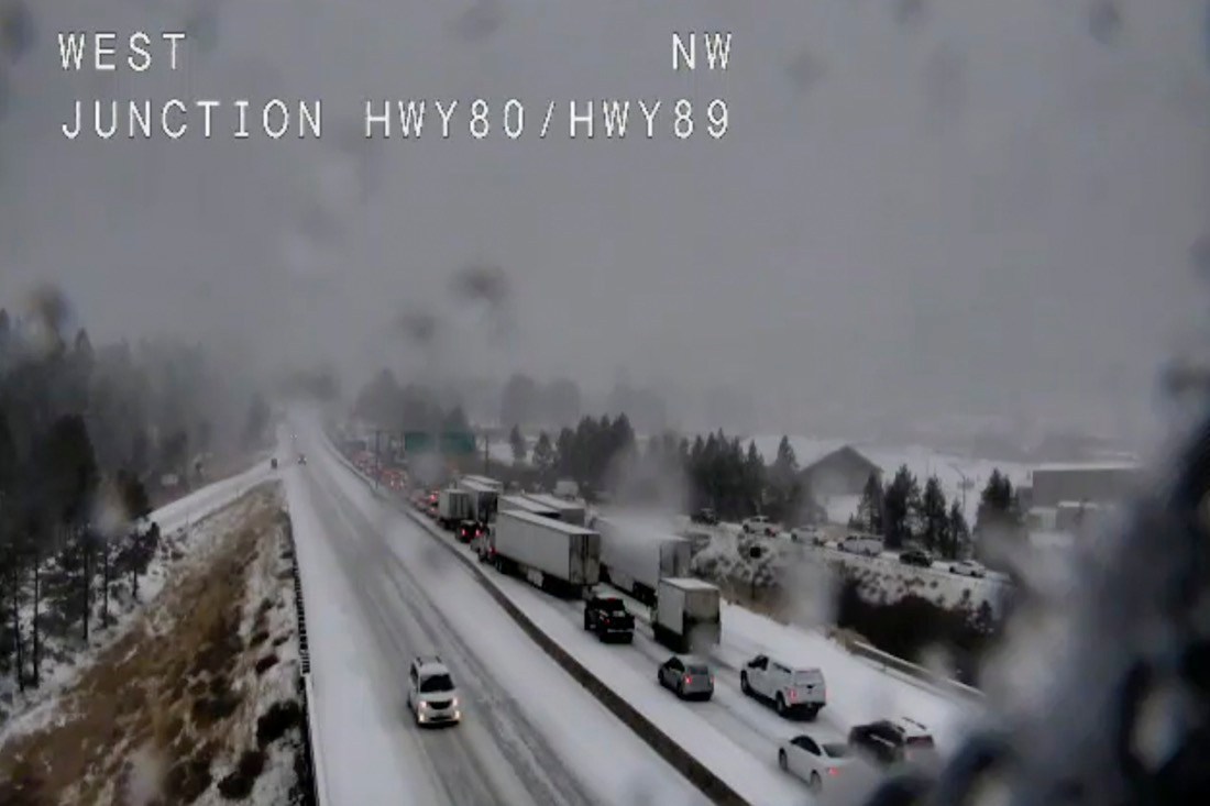
MINNEAPOLIS (AP) – A storm packing heavy snow and high winds that wreaked havoc as it whipped through Colorado, Wyoming and Nebraska marched into the upper Midwest on Wednesday as anxious Thanksgiving travelers buckled up and barreled headlong into a busy, if not perilous, holiday week.
The wintry storm that left at least one person dead was expected to push eastward into South Dakota, Iowa, Michigan, Minnesota and Wisconsin, while a “bomb cyclone” weather phenomenon was expected to simultaneously topple trees, knock out power and dump snow as it rolled into California and Oregon.
The one-two punch made for a double whammy of early wintry weather that threatened to scramble plans for millions of people nationwide during one of the busiest travel weeks of the year.
Minnesotans prepared Wednesday for a winter-like blast that’s expected to deliver heavy snow and powerful winds. The University of Minnesota Twin Cities campus canceled classes starting late Tuesday and was not expected to resume operations until Thursday. National Weather Service meteorologist Brent Hewett in Chanhassen, Minnesota, said the storm could dump 6 inches (15 centimeters) of snow in central and southern Minnesota, while some areas could see 9 to12 inches (22.9 to 30.5 centimeters).
Western and northern Wisconsin could be buried beneath 8 to 12 inches (20 to 30.5 centimeters) of snow, with 12 to 15 inches (30.5 to 38 centimeters) of lake-effect snow near Lake Superior. A raw, blustery day is forecast Wednesday, with winds up to 35 mph (56 kph). Forecasters said another storm could arrive this weekend, just as people are returning from Thanksgiving.