
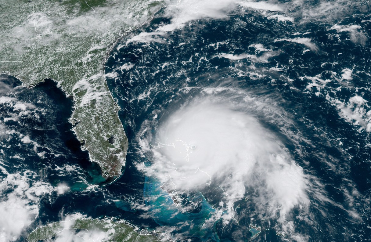
For Florida, just a handful of miles may make a huge difference in Hurricane Dorian’s slow dance with the coast.
The National Hurricane Center forecasts Dorian to be 40 to 50 miles off the Florida coast on Tuesday and Wednesday, with hurricane-force wind speeds extending about 35 miles to the west.
When they make a forecast, meteorologists have a general idea where the monstrous storm is going but they then have to choose a point on the map instead of a general place, making it seem more specific than it really is.
And much of the Florida coast is inside that cone.
“This thing is perilously close to the state. I think we should all hope and pray for the best, but we have to prepare that this could have major impacts on the state of Florida,” said Florida Gov. Ron DeSantis. “If you look at the National Hurricane Center’s current track, I think it ends up within 30 miles of the coast of Florida. Well guess what? You do just a touch of a bump one way or another, and you have a dramatic difference all of a sudden.”