
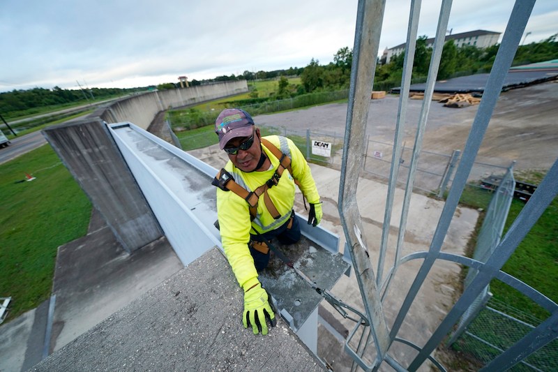
NEW ORLEANS (AP) – As Tropical Storm Marco made landfall, the Gulf Coast turned its attention Monday to Laura, another system following just behind that could grow into a supercharged Category 3 hurricane with winds topping 110 mph (177 kph) and a storm surge that could swamp entire towns.
Still a tropical storm for now, Laura, which is forecast to become a hurricane on Tuesday, churned just south of Cuba after killing at least 11 people in the Dominican Republic and Haiti, where it knocked out power and caused flooding in the two nations that share the island of Hispaniola. The deaths reportedly included a 10-year-old girl whose home was hit by a tree and a mother and young son who were crushed by a collapsing wall.
Laura was located about 81 miles (128 km) northeast of the western tip of Cuba and 765 miles (1,231 km) southeast of Lake Charles, Louisiana. The storm was moving west northwest at 20 mph (32 kmh) with maximum sustained of 65 mph (104 kmh).
The center of Laura will move away from Cuba and over the southeastern Gulf of Mexico overnight. The storm is then forecast to move over the central and northwestern Gulf of Mexico Tuesday night and Wednesday, and approach the northwestern coast of the Gulf of Mexico Wednesday night.
“Our sights are on Laura now,” Gov. John Bel Edwards told a news briefing. “It has the potential to be a major hurricane.”