
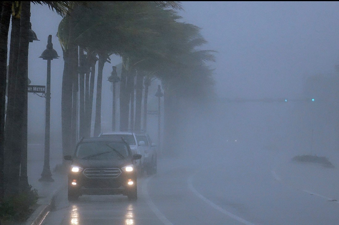
FORT LAUDERDALE, Fla. (AP) – Torrential rain from Tropical Storm Eta caused dangerous flooding across Florida’s most densely populated urban areas on Monday after it made landfall in the Florida Keys. Cars were stranded and entire neighborhoods were swamped as flash floods rose in areas where the water had no place to drain.
The system’s wide reach and heavy rains posed a serious threat across South Florida, an area already drenched from more than 14 inches (350 millimeters) of rain last month. Eta could dump an additional 6 to 12 inches (150 to 300 millimeters), forecasters said.
“In some areas, the water isn’t pumping out as fast as it’s coming in,” warned Miami Dade Commissioner Jose “Pepe” Diaz.
Eta’s center hit land late Sunday as it blew over Lower Matecumbe, in the middle of the chain of small islands that form the Florida Keys. It was moving into the Gulf of Mexico early Monday near where the Everglades meet the sea, with maximum sustained winds of 65 mph (100 kph). It was centered south of Naples, moving west-northwest at 13 mph (20 kph).
Forecasters said it could re-intensify into a minimal hurricane as it slowly moves up the southwest Gulf Coast, centered just far enough offshore to maintain its strength while dumping vast amounts of water across the lower third of the Florida peninsula.