
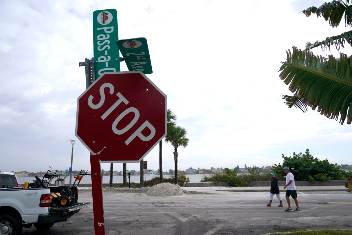
ST. PETERSBURG, Fla. (AP) – Tropical Storm Eta became a post-tropical cyclone Friday as it raced off into the Atlantic Ocean, having delivered heavy rains and gusty winds to the Carolinas after blustering across north Florida.
Meanwhile, Tropical Storm Theta was moving closer to Europe, and yet another storm was brewing in the Caribbean Sea, where forecasters said Tropical Depression 31 could get a name – Iota – later Friday or Saturday. Forecasters warned that it could be near major hurricane strength as it approaches Central America late Sunday and Monday, following a path of death and destruction left by Eta last week.
This extraordinarily busy Atlantic hurricane season has focused attention on climate change, which scientists say is causing wetter, stronger and more destructive storms.
One death in Florida was linked to Eta, along with some scattered flooding. The National Hurricane Center in Miami said Eta’s remnants would pick up forward speed in the next day or so as it pulls away from the Southeast seaboard.
The storm system triggered flash flooding, multiple water rescues and road closures, and at least one collapsed bridge in South Carolina, said Sandy LaCourte, a meteorologist with the National Weather Service in Greenville, South Carolina.