
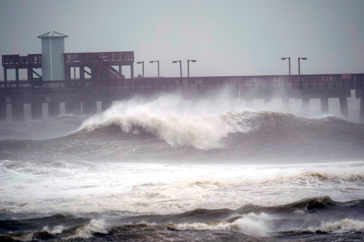
NAVARRE BEACH, Fla. (AP) – Heavy rain, pounding surf and flash floods hit parts of the Florida Panhandle and the Alabama coast on Tuesday as Hurricane Sally lumbered toward land at a painfully slow pace, threatening as much as 30 inches (76 centimeters) of rain and dangerous, historic flooding.
The storm’s center churned offshore 65 miles (105 kilometers) south-southeast of Mobile, Alabama, as Sally crept north-northeast toward an expected Wednesday landfall at 2 mph (3 kph), according to the National Hurricane Center. The forecast map showed the center likely coming ashore in Alabama, near the Florida line.
Hurricane force winds extended 40 miles (65 kilometers). Rain fell sideways and began covering roads in Pensacola, Florida, and Mobile. More than 80,000 power customers were without electricity, according to poweroutage.us .
Up to a foot (more than 30 centimeters) of rain had fallen already on the coast by Tuesday night and Sally’s lumbering pace meant there would likely be extended deluges.
“A hurricane moving at 2 mph is stalled for all intents and purposes,” said Brian McNoldy, a hurricane researcher at the University of Miami. “If they aren’t moving along and they just kind of sit there, you’re going to get a ridiculous amount of rain.”