
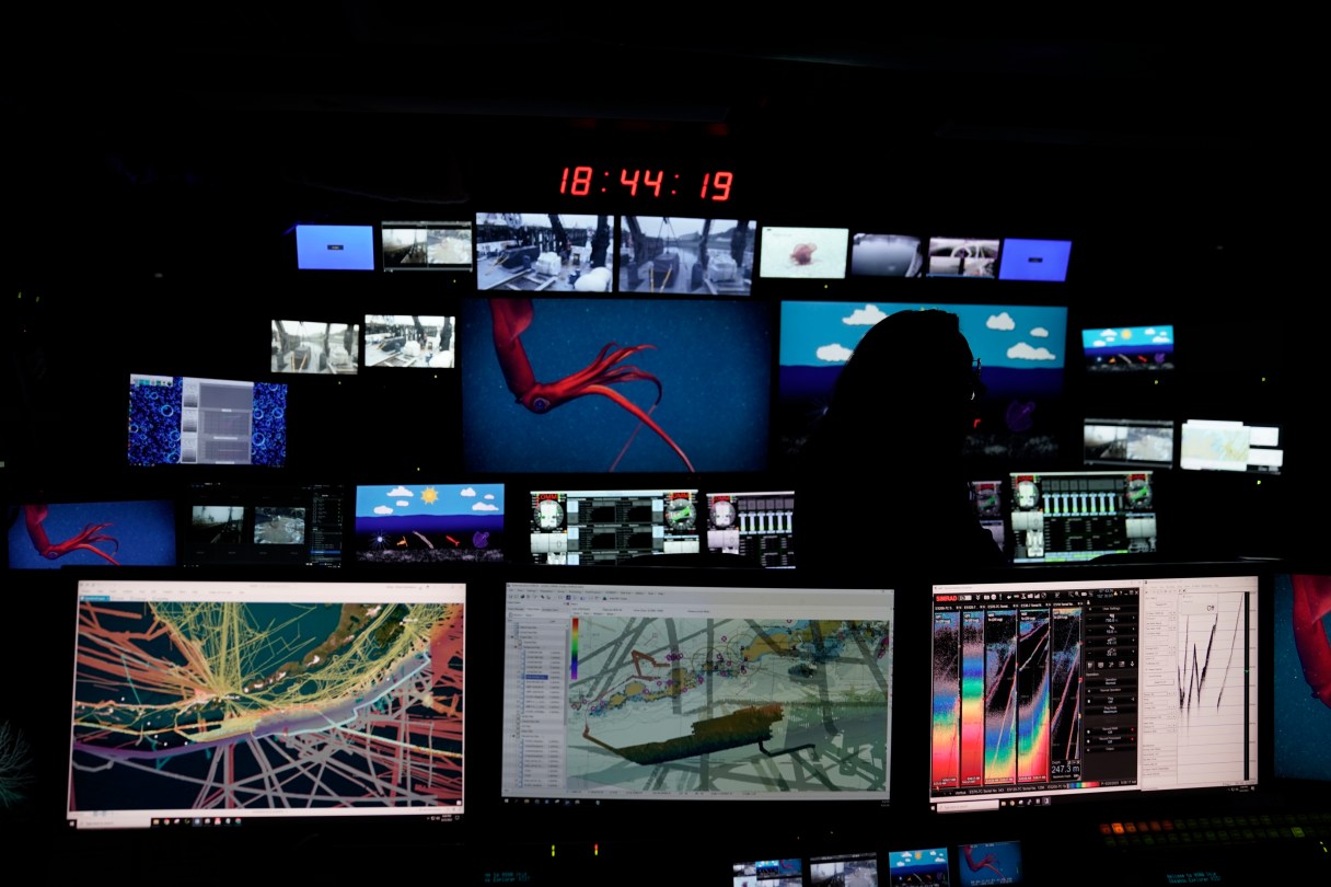
KODIAK, Alaska (AP) — For the team aboard the Okeanos Explorer off the coast of Alaska, exploring the mounds and craters of the sea floor along the Aleutian Islands is a chance to surface new knowledge about life in some of the world’s deepest and most remote waters.
The National Oceanic and Atmospheric Administration research vessel is on a five-month mission aboard a reconfigured former Navy vessel run by civilians and members of the NOAA Corps. The ship, with a 48-member crew, is outfitted with technology and tools to peer deep into the ocean to gather data to share with onshore researchers in real time. The hope is that this data will then be used to drive future research.
“It’s so exciting to go down there and see that it’s actually teeming with life,” said expedition coordinator Shannon Hoy. “You would never know that unless we were able to go down there and explore.”
Using a variety of sonars and two remotely operated vehicles — Deep Discoverer and Serios — researchers aboard the ship are mapping and collecting samples from areas along the Aleutian Trench and Gulf of Alaska. High-resolution cameras that can operate at depths of up to 6,000 meters (19,685 feet) allow researchers to document and immediately share their findings. The ship can also livestream dives to the public.
Many factors, such as depth, speed and sonar capability, influence how much sea floor can be mapped. In 2 to 4 weeks, the Okeanos Explorer can map as much as 50,000 square kilometers (31,069 square miles), Hoy said.