
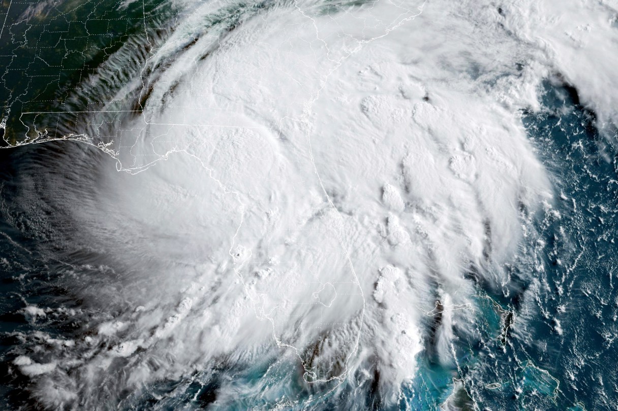

National Weather Service meteorologists at the National Hurricane Center in Miami are calling for winds of 39 mph or less from Tropical Storm Debby across most of North Georgia, including Catoosa, Dade, Chattooga, Murray, Walker and Whitfield counties and counties in the Blue Ridge Mountains.
The forecast for Chattanooga and points northward will continue to be sunny and hot over the coming days, with an eye toward any shifts in Debby, which will slowly track across the Southeast the next several days. Tornadoes, catastrophic flash and urban flooding, coastal flooding, rip currents and strong gusty winds are all expected.
Because of Debby’s proximity through Wednesday evening, the weather service said, some locations across East Central Georgia could see 7 to 10 inches of rain through Thursday night.
— Compiled by Ben Benton