
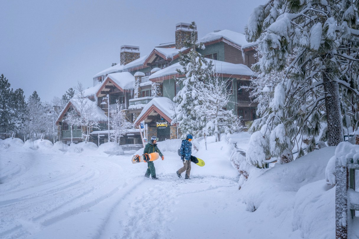
RENO, Nev. (AP) — The most powerful Pacific storm of the season started barreling into the Sierra Nevada on Thursday, packing multiple feet of snow and dangerous winds that forecasters say will create blizzard conditions likely to close major highways and trigger power outages into the weekend.
Much of the Sierra Nevada was under a blizzard warning stretching through Sunday, with the biggest effects expected Friday afternoon into Saturday.
As much as 10 feet (3 meters) of snow is possible in the mountains around Lake Tahoe by the weekend, with 3 to 6 feet (.9 to 1.8 meters) in the communities on the lake’s shores and more than a foot (30 centimeters) possible in the valleys on the Sierra’s eastern front, including Reno, the National Weather Service said.
Winds are expected to gust in excess of 115 mph (185 kph) over Sierra ridgetops, and 70 mph (113 kph) at lower elevations, it said.
The weather service in Reno said in its updated forecast as evening approached on Thursday it has seen no new scenarios to suggest a weakening of the storm: “Snow amounts have increased, if that is even possible.”