
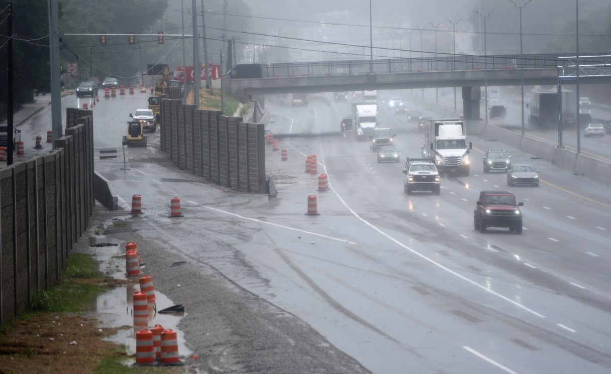

It’s an argument that is unlikely to be resolved to everyone’s satisfaction.
Was Tuesday’s flash flooding so devastating because it was a once-in-a-lifetime event, or did unchecked development worsen a torrential rain?
We’ve already seen arguments posited on both sides, and then some.
You may have heard that Tuesday was the second wettest day in Chattanooga history with 6.42 inches of rain. What exacerbated it was that much of it fell in a several-hour timespan in the late afternoon, from 5:30 p.m. to 8:30 p.m. And it hit hardest in the East Ridge, Brainerd and East Brainerd communities, and just across the state line in Fort Oglethorpe, Georgia, heat maps show.
David Hotz, a meteorologist at the National Weather Service office in Morristown, Tennessee, told the Times Free Press what fed the rainfall over Chattanooga was an influx of moisture to the Tennessee Valley and Southern Appalachia from a tropical storm above the Gulf of Mexico. The amount of moisture available from the storm was about as high as it could get, he said.