
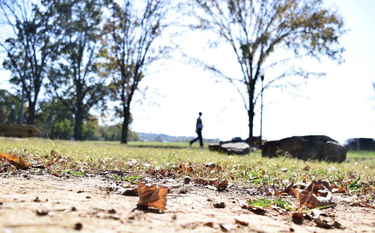

Last year in Chattanooga was the warmest since weather information began being collected, with a record-breaking average temperature of 64.6 degrees, according to the Tennessee Climate Office.
It was also one of the driest, ending with a 13.5-inch rainfall deficit, the climate office said. Weather data started being kept in 1879.
“The driest stations in the state were the Smyrna weather station, at 40.56 inches, and the Chattanooga Airport, reporting 41.46 inches,” Assistant State Climatologist Wil Tollefson said Thursday in a phone interview.
Hamilton County also notched its second-warmest year on record, Tollefson said.
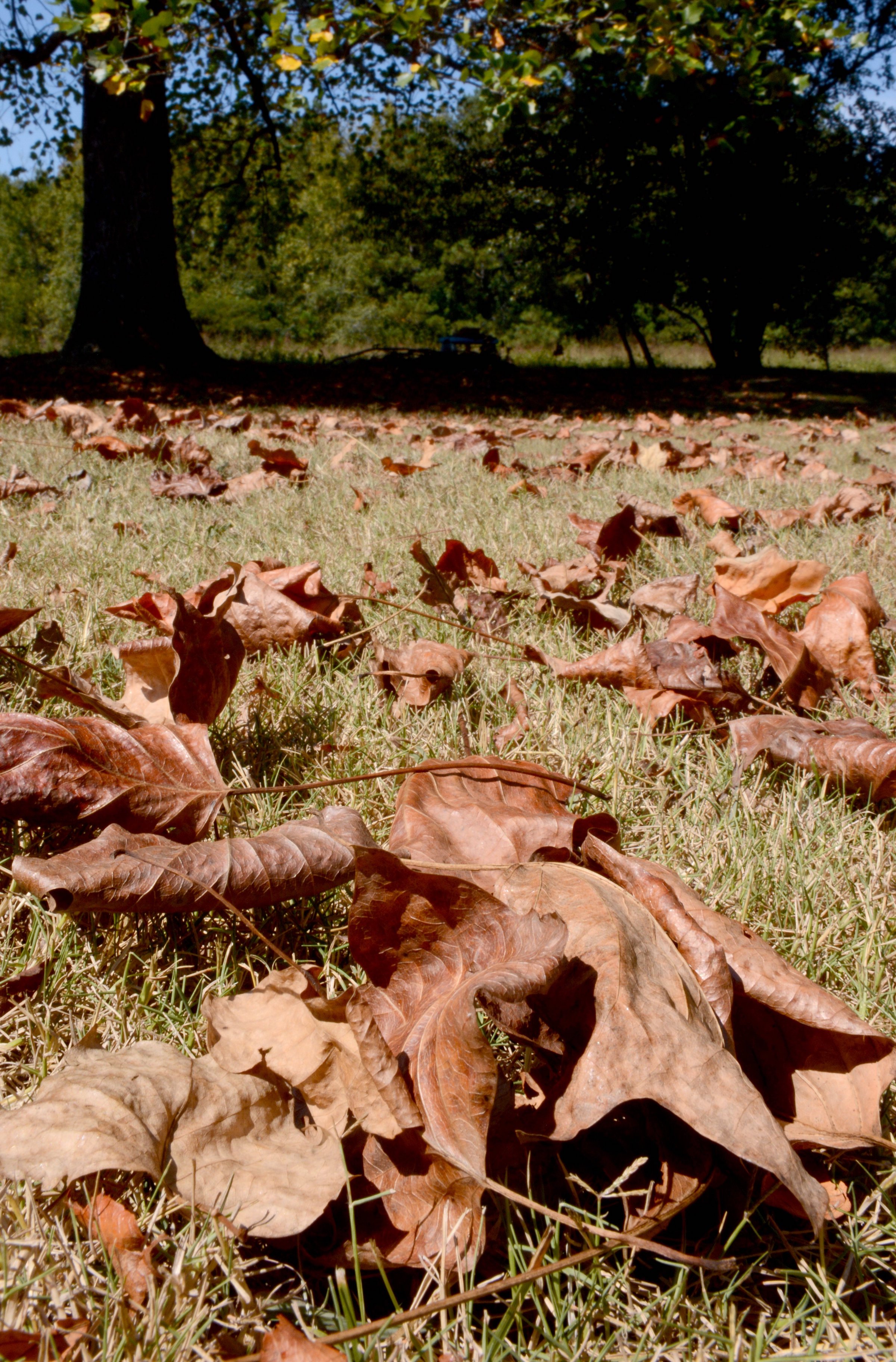
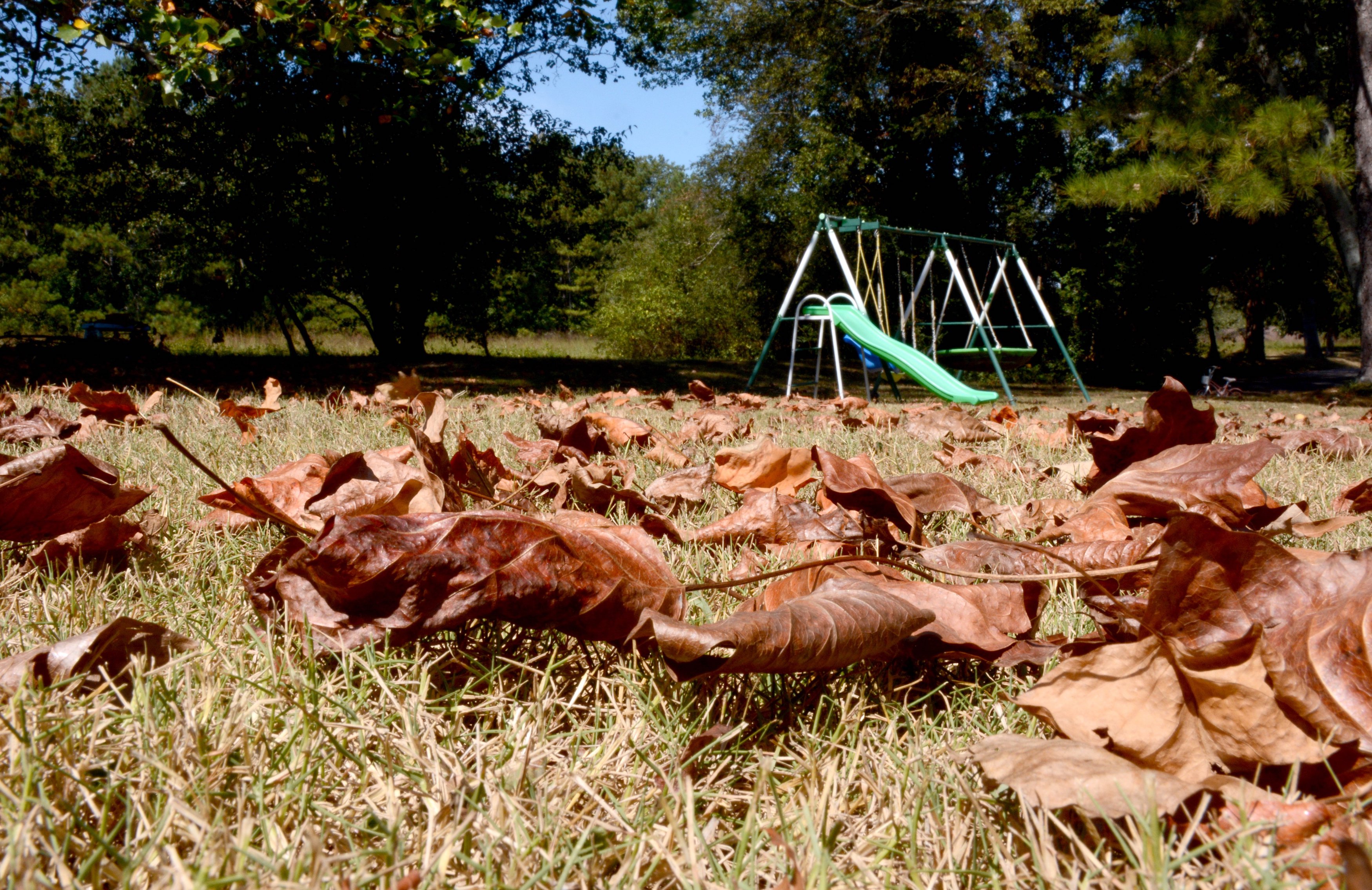
In 2023, Chattanooga ended the year more than 2 degrees above the annual normal temperature and almost 10 inches below normal in annual rainfall, records show. So there was already a lingering deficit to start the year in 2024.
(READ MORE: Rainfall deficit lingers as parts of region plunge into extreme drought)
“Further north, we had all the rain from Helene, but it didn’t impact the southern end as much,” Tollefson said. “Other than that, it was pretty much consistently warmer than normal throughout the rest of the year across the Chattanooga area and really East Tennessee in general. Precipitation was just very hit or miss. We saw that in the summer with one or two days of really heavy rain, but it missed some people. If you happen to miss out on the one good rain day, you are out of luck for a while – for weeks possibly.”
Temperature records show 2024 was the warmest year on record for Chattanooga, Nashville and the Tri-Cities. It was the second-warmest year on record for Knoxville.
City weather records go back to 1879
– Highest average temperature in one year: 64.6 degrees in 2024
– Lowest rainfall total in one year: 32.68 inches in 1904
– Highest temperature: 107 on June 30, 2012, and July 1, 2012
– Lowest temperature: -10 on Jan. 21, 1985, Jan. 31, 1966, and Feb. 13, 1899
– Highest rainfall total in one day: 9.49 inches on Sept. 5, 2011
– Highest rainfall total in one month: 16.32 inches on March 31, 1980
– Highest rainfall total in one year: 73.7 inches in 1994
– Most snow in one day: 18.5 inches on March 13, 1993
– Most snow in one month: 20 inches in March 1993
– Most snow in one season (December-February): 22.2 inches between 1917-1918
– Most snow in one year: 22.7 inches, winter 1992-1993
Source: National Weather Service
EXTREME MIX
January 2024 in Tennessee started off with snowfall and a prolonged cold snap for much of the state but warmed to 4-8 degrees above 30-year normals later in the month, the climate office’s 2024 Tennessee State Climate Summary said. The growing season started early in Chattanooga and most of the state in March, though there were some cool spells. April continued record-setting trends with temperatures reaching the upper 80s across most of the state and Chattanooga logging daily highs of 86 on April 15 and 16.
The month of May 2024 in Chattanooga ended with an average high of almost 83 degrees, 3 degrees warmer than normal, the report said. The thermometer reached 90 on May 26 and was at 80 or above for all but six days of the month.
Then it really warmed up.
“On June 26, the Chattanooga airport weather station recorded a high temperature of 100 degrees, the first 100-degree day for Chattanooga since Oct. 3, 2019, and the first 100-degree day in June since 2012,” the report said. “The combination of high temperatures and low precipitation led to rapidly emerging dry conditions and set the stage for a flash drought that impacted parts of the state during the rest of the summer.”
The first half of July was mostly hot and dry with spotty rains and record-setting heat impacting Middle and East Tennessee, with the high in Chattanooga reaching 101 on July 13 and 100 on July 14, the report said. The first half of the summer season from June to August was among some of the warmest and driest on record for East Tennessee. The 1.35 inches of rainfall recorded during the period was the fourth-driest on record and represented the driest start to summer in Chattanooga since 1988.
August, typically the driest month, was more of the same pattern of very dry conditions and dangerous heat. The final days of August saw highs ranging from 98-101 degrees, and rain for the month was more than an inch below normal.
September was devastating for Northeast Tennessee as Hurricane Helene plowed into the Appalachian Mountains along the North Carolina line, killing at least 17, the report said. The deadly storm from Sept. 25-27 dumped 40 trillion gallons of rain on the Southeast, while records show Chattanooga over the two-day period got about 5.2 inches, almost an inch above the normal monthly rainfall of 4.23 inches. But Helene’s rains still didn’t make up much of the city’s rain deficit.
Warm conditions continued from October into the first three weeks of November, breaking 32 daily high records and tying 25 daily highs across the state, the report said. December’s average temperature of 47.7 degrees in Chattanooga was 2.7 degrees warmer than normal, continuing the trend through the end of the year.
10 warmest years in Chattanooga
– 2024: 64.6 degrees
– 2016: 64.1 degrees
– 2019: 64 degrees
– 2023: 63.7 degrees
– 2020: 63.6 degrees
– 2012: 63.5 degrees
– 1890: 63.4 degrees
– 2007: 63.3 degrees
– 2017: 63.3 degrees
– 1938: 63.1 degrees
– 1939: 62.9 degrees
Source: National Weather Service data from the Chattanooga Airport
STATEWIDE
Across Tennessee in 2024, weather extremes led to at least 55 weather-related deaths: 32 deaths from cold in January, two deaths from an EF3 tornado in Maury County in May and 17 deaths due to Hurricane Helene’s historic flooding in Northeast Tennessee in September, according to the climate office report. Temperatures across the state in 2024 averaged 2.6-3.2 degrees warmer than the 20th century mean, with 34 counties recording their warmest year on record and 34 other counties recording their second-warmest.
In East Tennessee, July and August were the warmest and driest summers on record, and cattle, crops and water supplies in Middle and East Tennessee were impacted by drought conditions.
West Tennessee and northern Middle Tennessee had above-average rainfall, while rainfall in southern Middle Tennessee and East Tennessee was below normal, the report states. Some areas of the Great Smoky Mountains had more than 90 inches of precipitation in 2024. In early December, some areas of the state recorded record lows and snowfall followed at the end of the month, with localized flash floods and wind damage in some areas.
CURRENT STATUS
The Chattanooga region has a lot of catching up to do.
The U.S. Drought Monitor released Thursday showed a large swath of extreme drought spreading north from the edge of Hamilton and Bradley counties through McMinn County, Meigs County and the eastern portion of Bledsoe County. Those conditions extend north into Cumberland, Morgan and Roane counties, and surrounding counties mostly are experiencing moderate to severe drought, while the rest of East Tennessee remains abnormally dry.
The U.S. Drought Monitor classifies droughts in five categories, with the lowest being abnormally dry and proceeding up the scale to moderate drought, severe drought, extreme drought and exceptional drought.
(READ MORE: TVA hits new all-time power demand record amid bitter cold temperatures)
Spring is approaching and the possibility of tornadoes and strong storms will increase, and already a deadly storm has claimed lives, according to The Associated Press. A possible tornado Thursday night killed a mother and daughter in Morgan County as a storm passed through the Deer Lodge and Sunbright communities. Three other injuries were reported.
10 driest years in Chattanooga
A normal year has 55 inches of rain. Last year saw 41.46 inches.
– 1904: 32.68 inches
– 1902: 32.95 inches
– 1968: 35.09 inches
– 2016: 35.58 inches
– 1894: 37.22 inches
– 1896: 37.77 inches.
– 2007: 38.62 inches
– 1985: 39.55 inches
– 1931: 39.65 inches
– 1978: 40.08 inches
Source: National Weather Service data from the Chattanooga Airport
Contact Ben Benton at bbenton@timesfreepress.com or 423-757-6569.
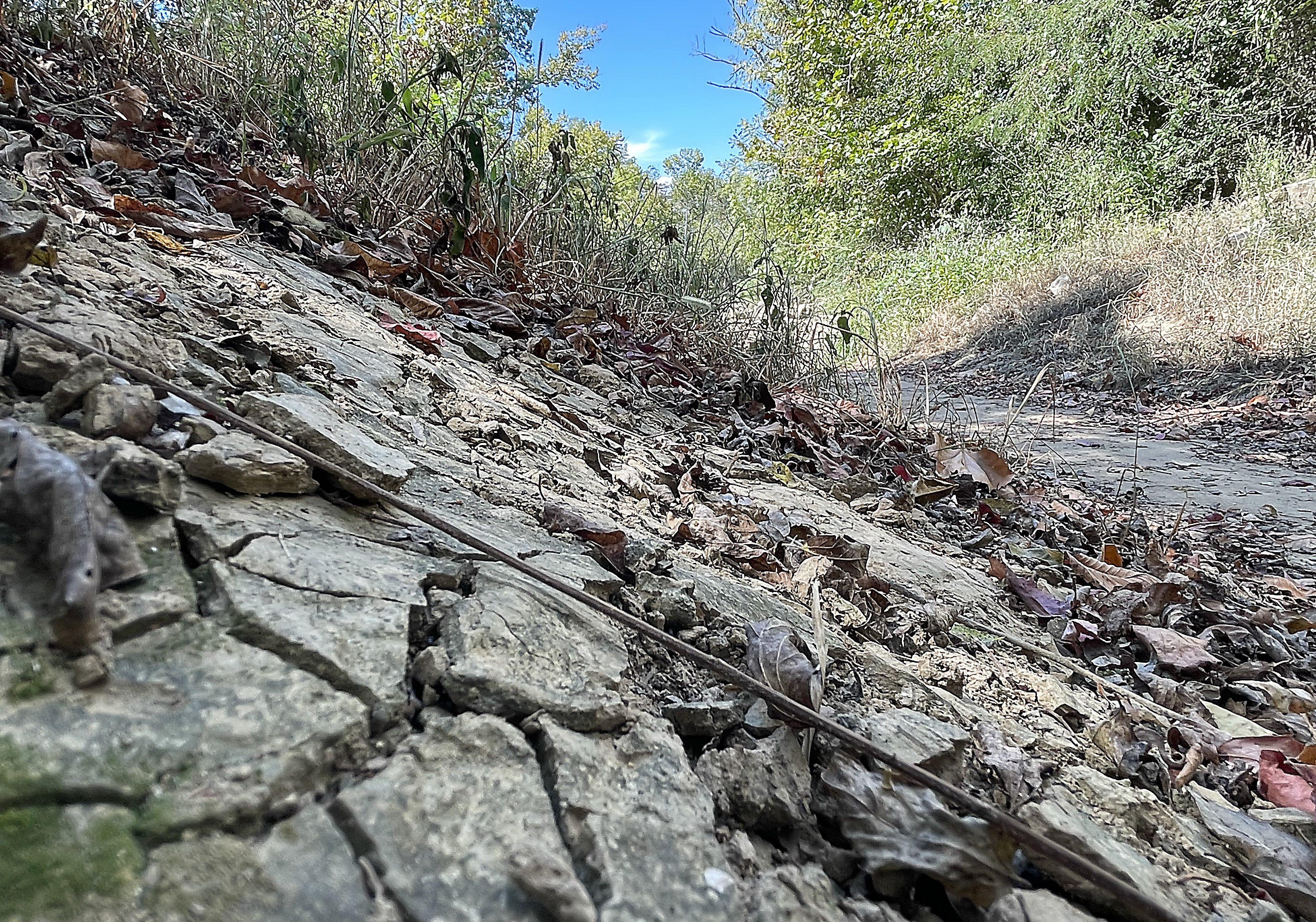 Staff photo by Matt Hamilton/ Dry, cracked soil along the canoe ramp Sept. 20, 2024, at West Chickamauga Creek at Camp Jordan shows the drought conditions in East Ridge. The Tennessee Climate Office reports 2024 was the warmest year on record for Chattanooga.