
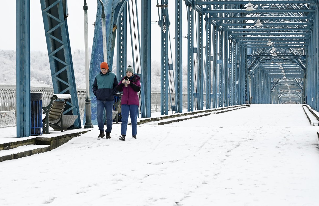

A winter storm plunging toward the Gulf out of the Arctic will bring Chattanooga its first winter storm of the season, but forecasters remain unclear whether the “impactful” precipitation will take the form of snow, ice or freezing rain.
Either way, a social media post from the National Weather Service office in Morristown, Tennessee, is ominous.
“Yes, there’s legitimate winter storm potential for the whole of East Tennessee and our neighboring counties in Virginia and North Carolina this weekend, mainly Saturday into Sunday,” the forecasters in Northeast Tennessee said in the post. “We don’t want to go into exact snowfall amounts just yet, but now’s the best time to prepare. For those in Southeastern Tennessee/Southwestern North Carolina — hi, Chattanooga — you also have medium probabilities of significant icing.
“We’re not sure how far north/south the ice versus snow line will set up, and with this still several days out, a lot can change,” the post said. “If you want to get an early jump on the bread/milk rush, go for it.”
The situation could be daunting for the Chattanooga region, according to weather service meteorologist Nathan Wellington. There’s a 40% chance of at least 4 inches of snow across much of the Chattanooga region and a 50% chance of a quarter-inch or more of freezing rain or ice.