
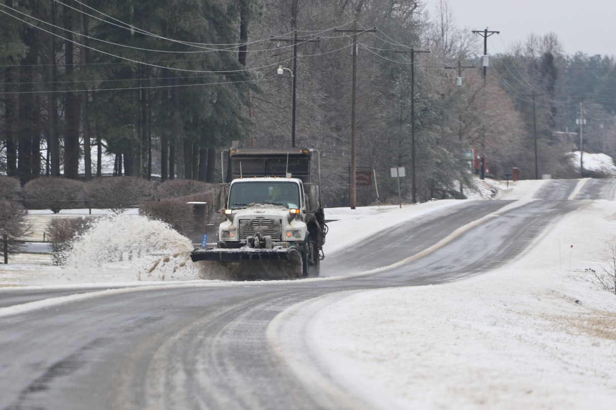

An ice- and rain-packed Super El Niño has set its sights on the Tennessee Valley and nearby portions of Georgia this winter, threatening disruptions for major distribution centers and truckers, as well as for work commutes and holiday travel.
That’s the warning from Head Meteorologist Joshua Feldman at New York-based climate intelligence platform WeatherOptics.
On a recent webinar, Feldman explained the potential impacts the Tennessee Valley and Southern Appalachia face as the unusually strong weather pattern bears down in coming weeks and months.
Ordinarily, El Niño involves surface temperatures in parts of the Pacific Ocean of about half a degree Celsius above normal. It typically brings wetter conditions to the Southern U.S.
(READ MORE: ‘A disaster’: Copperhill, McCaysville businesses slammed by Ocoee flash flooding)