
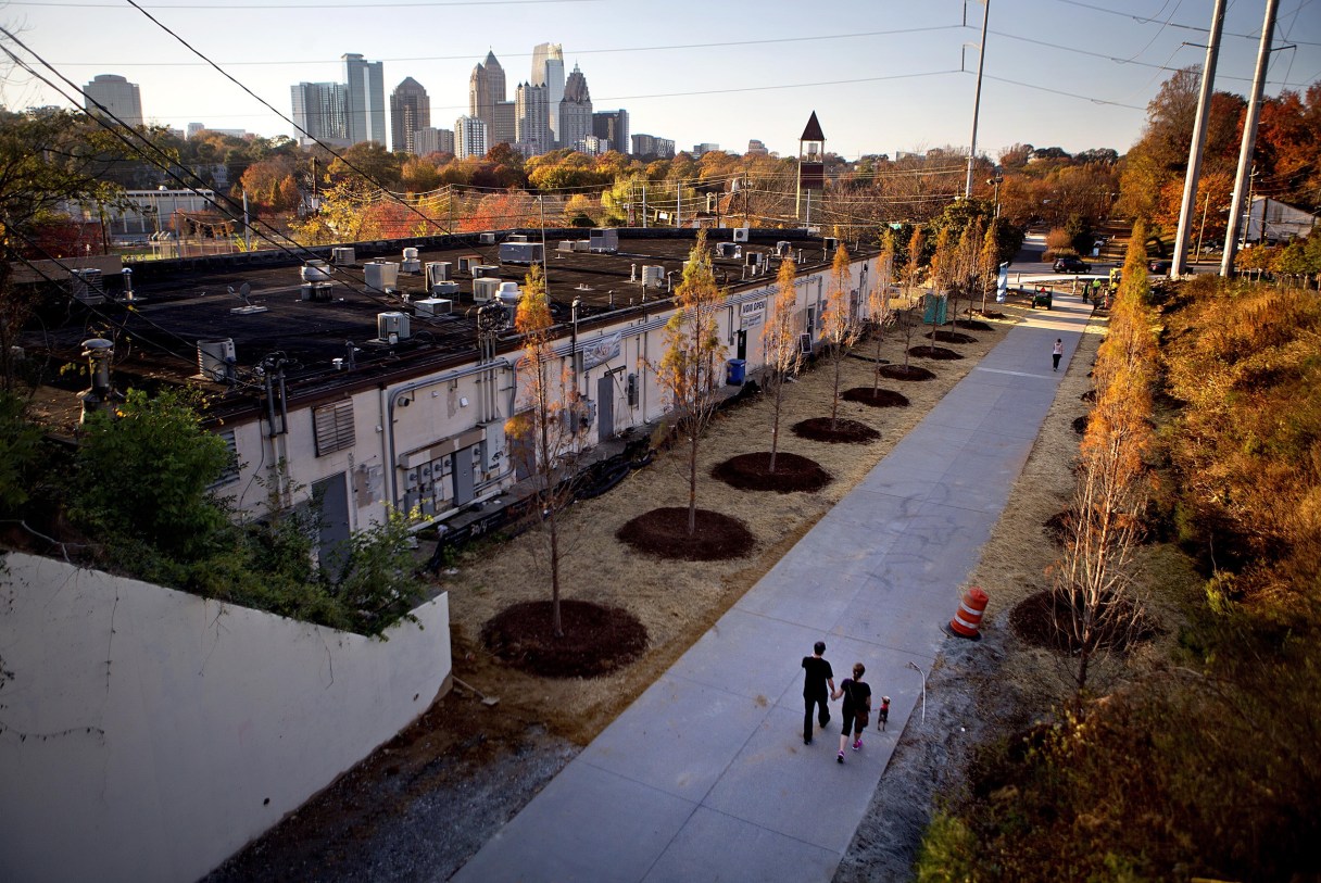

Cyclists traveling north beyond North Chattanooga must now choose between two perilous options to get to Red Bank or Hixson: the Cherokee Boulevard tunnel or the S curves on Hixson Pike.
That could change if plans developed by the Rails-to-Trails Conservancy are embraced by local officials.
Trails advocate Jim Johnson received a grant several years ago from Causeway, a local nonprofit which specializes in community problem-solving.
Johnson applied the grant to a study of active and inactive railroad corridors throughout the Chattanooga area that could be used for trails. The Rails-to-Trails Conservancy, for which Johnson serves on the board of directors, advocates for the network.
While Rails-to-Trails, which has been transforming inactive rail corridors into trails since 1986, is familiar to many, Rails-with-Trails is a more recent development. Under the umbrella of the conservancy, Rails-with-Trails includes the establishment of trails or mixed-use paths on or adjacent to active railroad corridors.
“This is a big game-changer, as most of the rails in Chattanooga are still active,” Johnson said.
Johnson said the Chattanooga area has 180 miles of active and inactive rail corridors that could connect existing trails throughout the city, linking neighborhoods and creating new options for active transportation and outdoor recreation.
The study of Chattanooga’s rail corridors whittled the options down to the 13 corridors the surveyors thought had the most potential, and they eventually narrowed that number down to two.
For one, the Conservancy has proposed a trail following the active Norfolk Southern line beginning near Renaissance Park and running along Moccasin Bend on Riverside Avenue to Pineville Road, then heading into Red Bank via Elmwood Drive and continuing adjacent to Dayton Boulevard.
What is being called “the North Shore to North Chickamauga Greenway” would then run along Lupton Drive toward Lupton City, where it would meet the river, eventually connecting with the North Chickamauga Greenway. That already-existing greenway runs along the North Chickamauga Creek starting in Hixson at the city of Chattanooga’s Greenway Farm, and heads north toward the Cumberland Plateau.
Johnson said there is potential for another Rails-with-Trails connection spurring off from the “North Shore to North Chickamauga Creek Greenway” at Signal Mountain Boulevard, running behind Walmart toward the foot of the mountain. He also envisions the possibility of a park-and-ride option in the vicinity, allowing people to drive down the mountain, park and then ride their bikes to work.
Johnson said everything is still in the conceptual stage and plans will likely not become reality in the near future. Ultimately, success will be determined by a number of factors, including permission from the railroad and the owners of the property the tracks run through, as well as funding, he said.
Johnson has presented plans for the proposed “North Shore to North Chickamauga Greenway” to the Red Bank Planning Commission, and he plans to present them again to the Red Bank City Commission at an upcoming work session. The proposal involves Red Bank financially contributing to a more in-depth feasibility study of putting a trail on the railroad corridor running through the city.
Not all of the trail would have to be on the tracks, Johnson said, adding that one option could be to connect existing trails on Stringer’s Ridge, which he helped build, to Red Bank via White Oak Park.
To view an interactive map of potential rail-trails corridors in Chattanooga, visit tiny.cc/Chattanooga-corridors.