
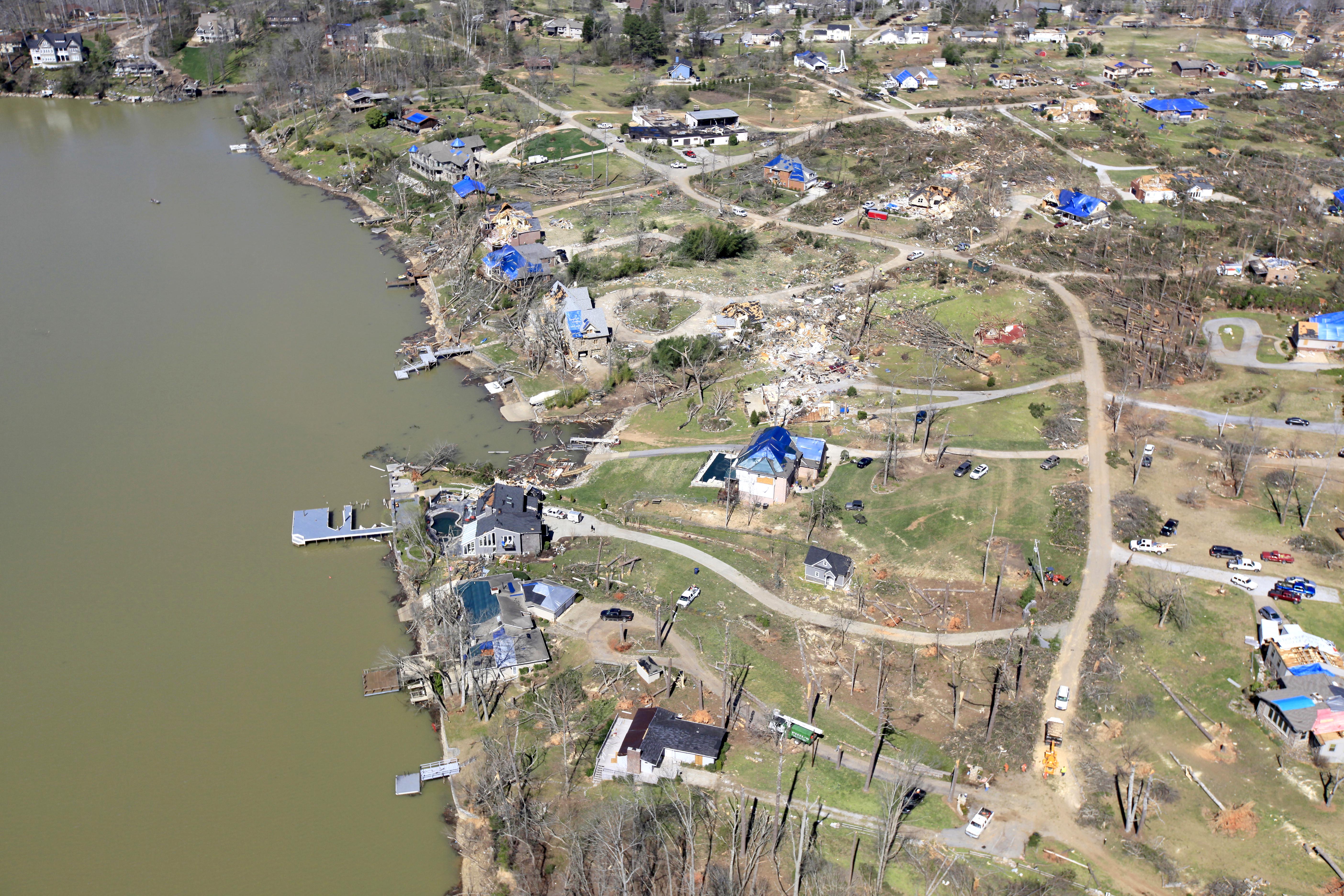
 Harrison residents salvage remnants from their residences after an EF3 tornado touched down in the area on Friday, March 2.
Though tornadoes have drastically altered some Hamilton County neighborhoods, the landscape of these areas still appears untouched on the county’s Geographic Information System website.
The most recent aerial photos were taken in 2010. Local officials are working to change that.
Hamilton County commissioners recently agreed to pay for aerial photography to update the maps. The site serves many functions, such as providing property and owner data. Tracts can be viewed with a topography overlay to aid engineers and surveyors.
The photography, which costs $158,973, is a good investment, even the most fiscally conservative Hamilton County commissioners said when they voted March 15 to pass the measure. The county and Chattanooga each are contributing $50,000. Several other municipalities and local utilities are picking up the remaining $59,000.
“It’s like having transparencies,” County Finance Administrator Louis Wright told commissioners.