
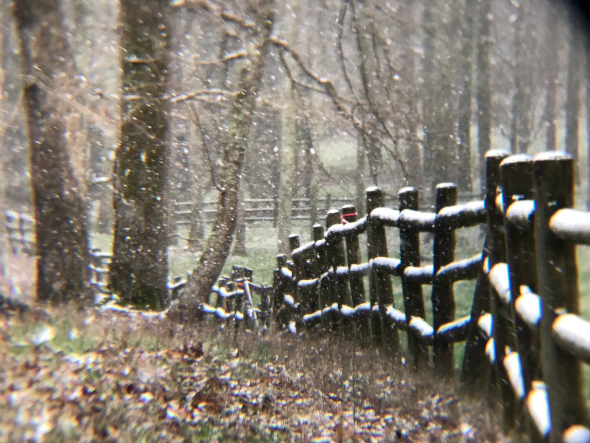
Friday has started with cold, blustery air and snow showers in the Chattanooga area. There is an expected .5″ to one inch of snow accumulation this morning and temperatures will be in the low-to-mid 30s, according to our news partners at WRCB.
Drivers shouldn’t expect ice on the roads, however, elevated surfaces (especially on the Cumberland Plateau) could see some ice if untreated. It will remain cold all day with some afternoon clearing and temperatures in the mid-to-upper 30s, and Saturday will start off colder in the upper 20s, WRCB’s David Karnes reports.
On Saturday, the Tennessee Valley could see light snow showers in the morning and about an inch of additional snow in the higher elevations with even some light accumulation possible in the valley. Saturday night into Sunday will be dry with a cold start Sunday in the 20s and a nice warm-up in the afternoon with sunshine and a high near 60.
More heavy rain is expected next week. Watch WRCB’s Friday forecast for more information.