

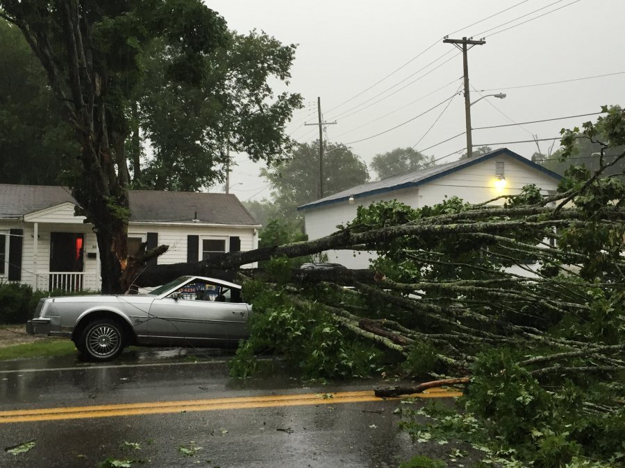
 Storm winds blew down a tree on a car in Knoxville this afternoon.
The U.S. National Weather Service has issued a severe thunderstorm watch until 9 p.m. Central, 10 p.m. Eastern for the Chattanooga region.
A heightened risk for widespread damaging straight line winds will develop late this afternoon and evening ahead of a southbound cold front, the agency said. In addition to the threat of damaging wind, residents could see “very large hail” and localized flash flooding from heavy rainfall, warned the NWS.
The potential for a few tornadoes also exists, the agency warned.
Despite earlier warnings that the storm could continue throughout the week, the agency has revised its outlook to note that no hazardous weather is expected after tonight’s storm.
As part of this week’s outbreak of severe weather, on Monday a so-called derecho hit North Dakota before continuing southeast toward Tennessee, leaving damage in its wake, according to reports from the Weather Channel. The Weather Channel reports that Monday was “the most active severe weather day in the U.S. since November 2013.”