
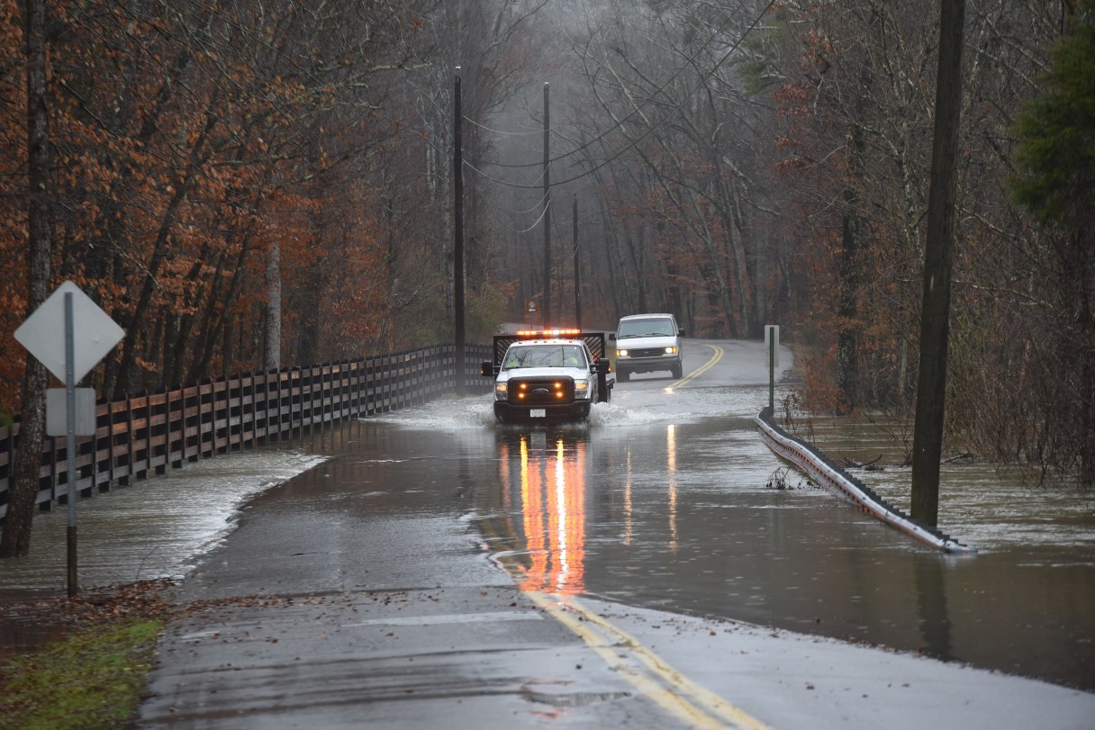

After soaking rains deluged the Chattanooga region Thursday and Friday, forecasters are calling for a drying out period over the weekend leading into sunny skies next week.
(Heavy rains force road closings in the Chattanooga region)
Most of the Chattanooga area remained under a flash flood watch or warning Friday night as a series of rain storms moving through from the west pounded the region. Reports of road closures and power outages swelled and retreated across the Chattanooga area as heavy rains passed with the worst flooding appearing to have happened overnight Thursday into Friday, especially farther south and west.
WRCB TV Channel 3 meteorologist Brittany Beggs said Friday afternoon in her weather blog that flood warnings issued for Jackson County, Alabama, and Franklin County, Tennessee, on Friday came after 2 to 3 inches of rain had already fallen, with the continuing rain adding to swelling creeks, streams and rivers.
Rainfall amounts in Chattanooga had so far “been just over 2 [inches], and areas such as Scottsboro have picked up 3.8 [inches] over the last 48 hours,” she said Friday.