
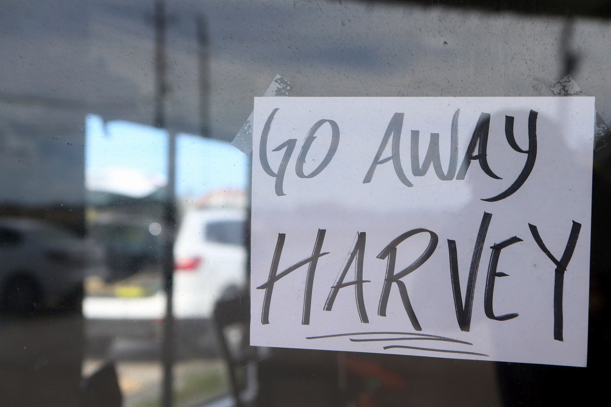
WASHINGTON (AP) – Hurricane Harvey is shaping up as just about a worst-case scenario storm with possible flooding from two different directions.
Harvey intensified rapidly because it’s been meandering over deep warm water and has calm air at 40,000 feet (12,192 meters) high. It’s moving slowly and will be stuck over the Texas coast through the middle of next week, which means rainfall measured in feet, not inches.
Put them all together and you’ve got a potential disaster that really has the National Hurricane Center grasping for ever scarier words like “life-threatening” and “catastrophic,” ”dangerous” and “grave risk.”
“The Houston area and Corpus Christi are going to be a mess for a long time,” said University of Miami senior hurricane researcher Brian McNoldy, who said this could be as big an economic threat as 2005’s Katrina.
“I can’t remember a storm that made landfall that was both very strong and very slow and not really even moving inland and it stalls along the coast,” McNoldy said.