
GENEVA (AP) – The current El Nino weather pattern may be on track to become one of the strongest in more than half a century, experts at the World Meteorological Organization said Tuesday.
The El Nino event involves a shift in winds in the Pacific Ocean along the equator every few years, warming the water more than usual and triggering a change in global weather patterns.
The Geneva-based U.N. body says ocean and atmospheric conditions over the tropical Pacific and most expert models and opinion point to a strengthening of the El Nino in the second half of 2015. This El Nino, the first since 1997-98, follows the rapid melting of arctic sea ice and snow cover in the northern hemisphere over the last few years.
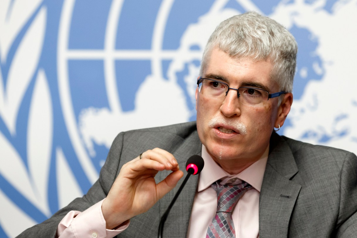
“This is a new planet. Will the two patterns reinforce each other or cancel each other?” said David Carlson, director of WMO’s World Climate Research program. “We have no precedent for this situation.”
A WMO statement Tuesday said models indicate ocean temperatures in the east-central tropical Pacific are likely to reach peaks that could make this El Nino among the four strongest since 1950. Peak strength is expected between October and January.