
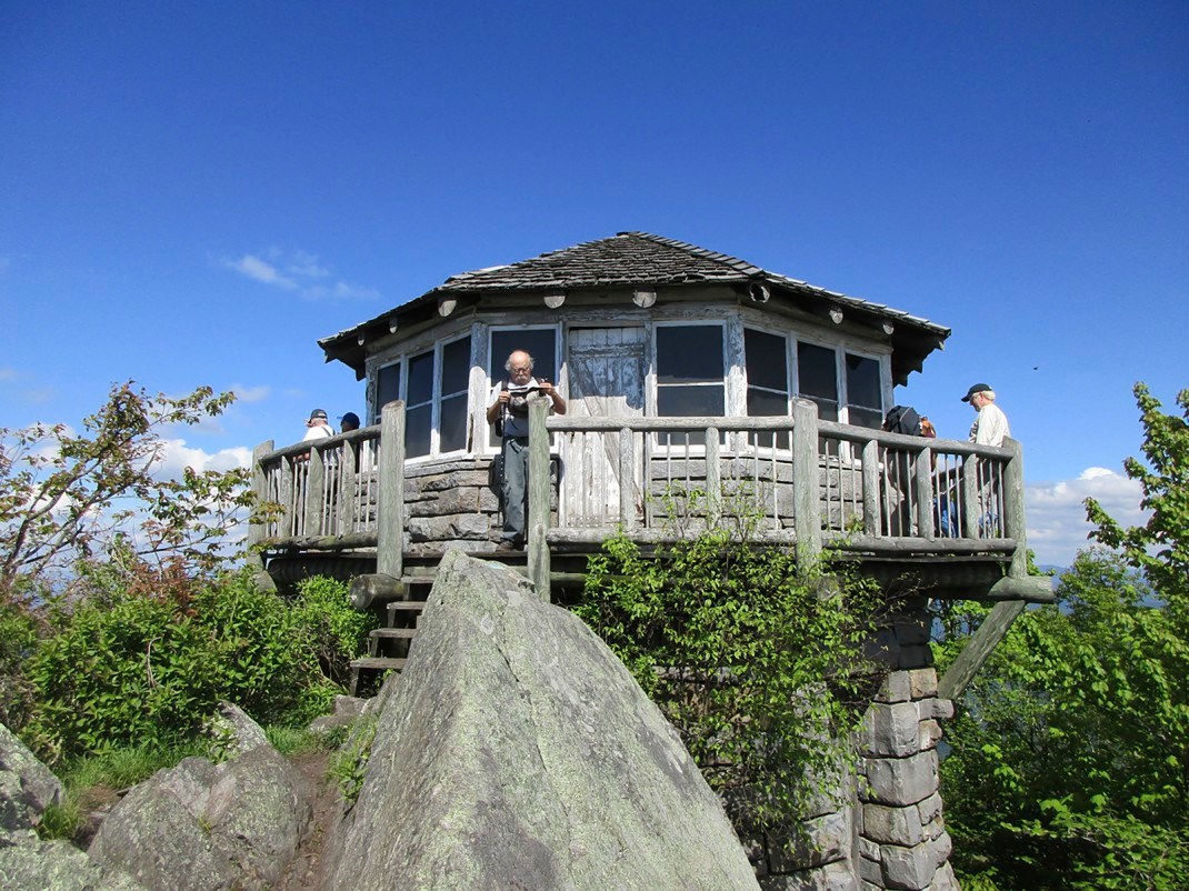
While not even on one of the 10 highest points in the Great Smoky Mountains National Park, the Mount Cammerer Lookout is one of the best places for views of the 816-square-mile park and well beyond its boundaries.
Resting on a massive rock outcropping at 4,928 feet above sea level, the structure – like the peak on which it rests – is named after Arno Cammerer, the director of the National Park Service from 1933 to 1940.
Mount Cammerer is the northernmost peak in the Smoky Mountain range. Older topographical maps show it as White Rocks or Sharp Top.
Hikers have several options to reach the lookout. Probably the most popular is the Low Gap Trail. Its trailhead starts at the Cosby campground and runs for 2.9 miles until it ends and intersects with the Appalachian Trail. Hikers then will head north on the AT for 2.1 miles before coming to the Mount Cammerer Trail. From there it is 0.6 mile to the lookout building.
Hikers also can start at Davenport Gap and hike south on the AT for 5.2 miles to the Mount Cammerer Trail. Longer paths also lead there.