
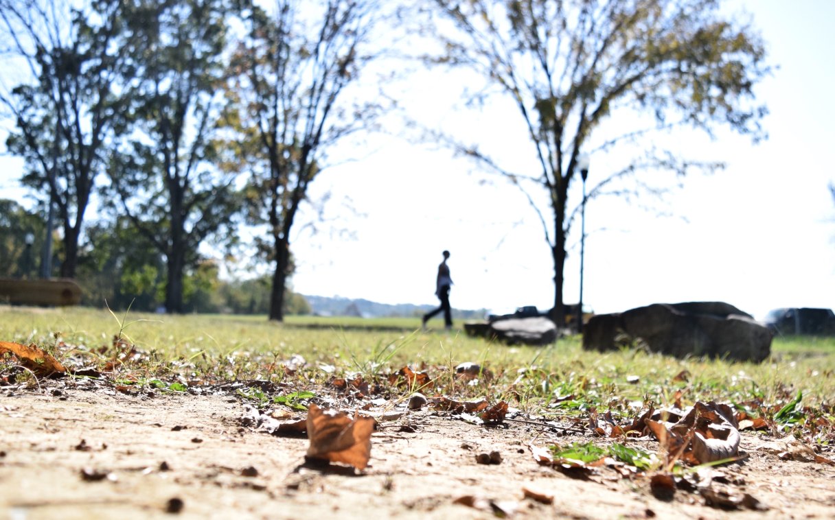

While Northeast Tennessee continues to dig out of historic flood damage from Hurricane Helene, Southeast Tennessee and much of the rest of the state is growing increasingly crispy, according to the Tennessee Climate Office.
All of Hamilton, Bledsoe, Franklin, Marion, Sequatchie, Meigs counties and half of Bradley, McMinn and Grundy counties remain in moderate drought conditions, while the region outside those counties also remains abnormally dry, according to the climate office. There’s a patch of severe drought in Rhea, Roane and Cumberland counties that is expected to expand.
Chattanooga so far this month has received 0.04 inches of rain, while October’s normal rainfall total for the entire month is 2.79 inches, according to the National Weather Service. The record for October dryness was set in 2016 when 0.08 inches of rain fell.
“We’ve definitely been seeing some rainfall deficits from post-Hurricane Helene,” Elijah Worley, the drought officer at the Tennessee State Climate Office at East Tennessee State University, said in a phone interview. “I mean, the water turned off, and unfortunately that’s led to a lot of deficits across most of Central Tennessee, with South Central seeing some of the worst deficits and conditions. And that’s stretching over into the lower Cumberland Plateau area.”
(READ MORE: Hamilton, Bledsoe, Sequatchie, Marion counties dealing with extreme drought)