
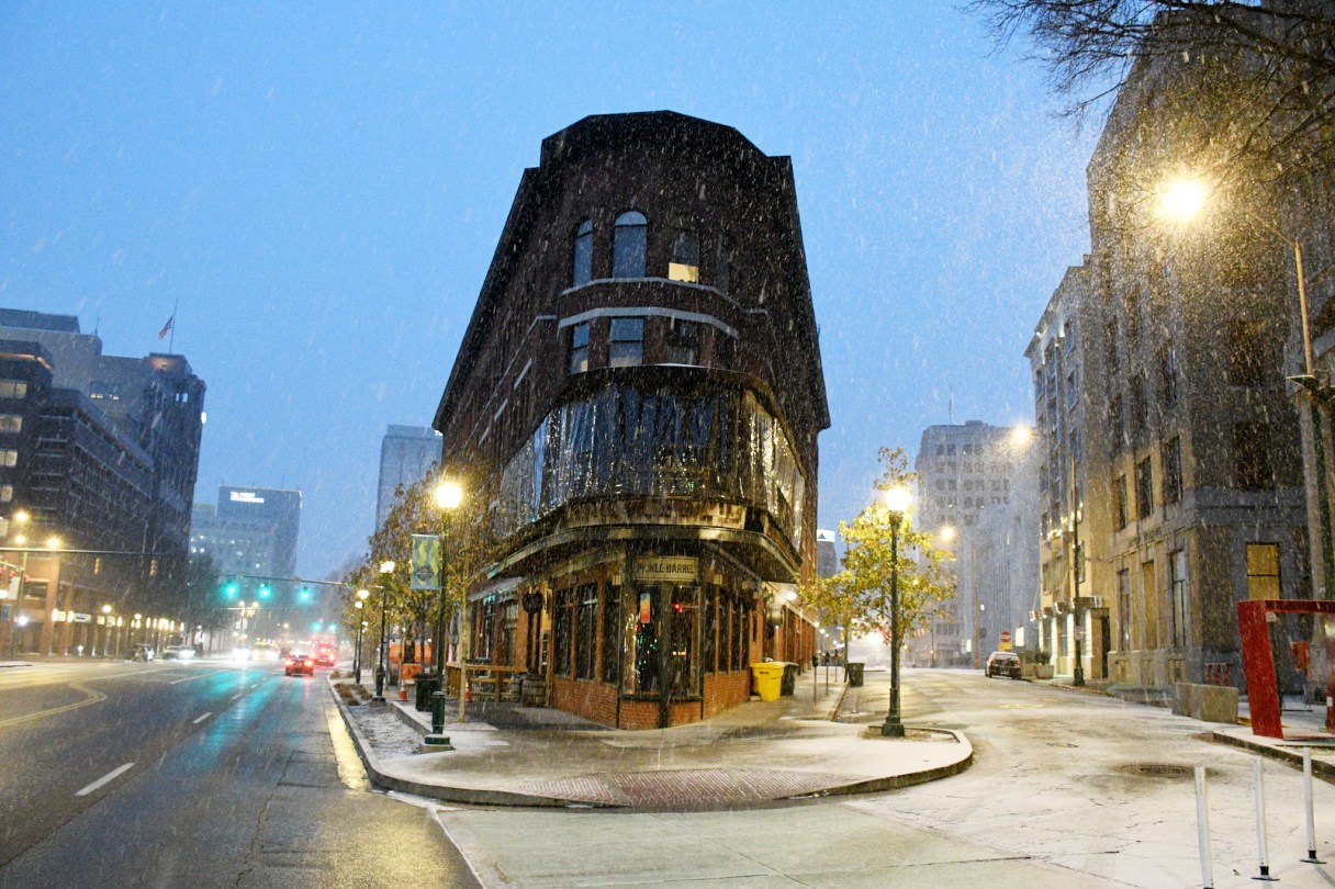

A winter storm system predicted to hit the Chattanooga region between 4 a.m. and 6 a.m. Friday could dump up to 5 inches of snow locally before a possible slight afternoon warmup changes the precipitation to a wintry mix.
Some sleet and freezing rain is expected to precede the snow, and up to a one-tenth inch of ice could accumulate, forecasters said.
A slight warmup forecast for North Georgia could push north into Southeast Tennessee, turning the snow to ice and sleet, according to Local 3 News chief meteorologist David Karnes.
“In Chattanooga, we’re looking at about 2 to 5 inches of snow during the morning hours, then around lunchtime and through the afternoon, we’ll see that changing over into more of a scattered, wintry mix,” Karnes said in a phone interview. “We’re going to warm up into the low to mid-30s, so that’ll help turn that into a slushy mix as more warm air mixes in during the afternoon. That’s when it’s going to get really nasty.”
Anyone planning to play in the snow should dress warm and get out there early, he said.