
 Staff photo by John Rawlston/Chattanooga Times Free Press – Dec 12, 2010
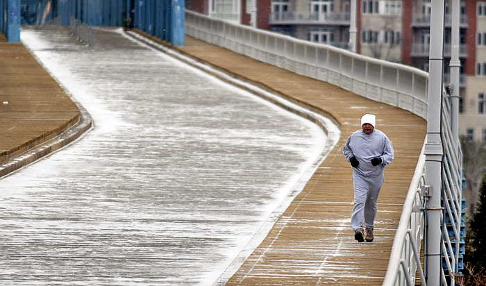
Anthony Chudre jogs on the sidewalk of the Walnut Street Bridge during the early hours of Sunday’s snowfall.
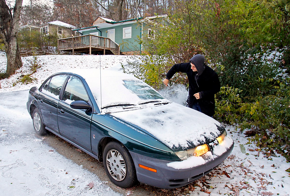
The bone-deep chill that blew into Southeast Tennessee and Northwest Georgia on Sunday night, icing roads, is going to hang around awhile, forecasters say.
“The high temperatures [today] won’t be above the mid-20s,” said WRCB-TV meteorologist Nick Austin. “The wind chills will be in the single digits. So it’s going to be cold.”
And the rest of the week is going be frigid, forecasters say.
Tuesday morning is expected to be the coldest day this week, with temperatures in the teens and about 10 degrees at higher elevations. Wind chills will be below zero, said Laura Belanger, a forecaster with the National Weather Service in Peachtree City, Ga.
As the wind gusts increase, residents should “prepare for other sources of heat” in case of power outages, Belanger said.
The Southeast Tennessee winter weather advisory will end at 7 a.m. today, according to the National Weather Service.
Throughout the night Sunday, roads closed, ice filmed highways and streets and dozens of vehicle crashes were reported across the area.
U.S. Highway 27 at Signal Mountain Road was closed for a time when ice on the road led to two crashes.
Tennessee Department of Transportation spokeswoman Jennifer Flynn said crews had salted all the major state roads and interstates on Saturday, but U.S. 27 got an extra layer Sunday night. She said crews were on standby throughout the night to deal with ice.
“Whatever happens, we’re prepared to deal with it,” Flynn said.
Roads weren’t so dangerous in North Georgia, officials said. Georgia state troopers reported eight wrecks in the area Sunday.
The freezing weather caused most Southeast Tennessee and North Georgia school systems to cancel classes today.
“A lot of schools are calling in and canceling because of the wind chills,” Austin said. “It won’t be pleasant for kids to stand at the bus stop.”
Hamilton and all Southeast Tennessee counties canceled classes today, and officials said they will monitor the weather before deciding whether to reopen Tuesday. Most private schools were closed, as well.
In North Georgia, Catoosa, Walker and Dade counties canceled classes, as did DeKalb County, Ala.
“A lot of our kids don’t have clothing for this type of weather,” said Cleveland city schools Director Rick Denning.
Chattanooga shelters opened their doors to the homeless Sunday night and plan to stay open tonight, officials said.
At the Chattanooga Community Kitchen, people were lining up for beds, and workers were expecting more than 100 people, said assistant director Jens Christensen.
While the shelter has enough blankets and supplies, financial donations are needed to keep the heat going, he said.
About 2 inches of snow was predicted to fall by today in Southeast Tennessee and 1 to 2 inches in North Georgia, forecasters said.
In Crossville, Tenn., blizzardlike conditions were reported, and 8 inches of snow were predicted in East Tennessee. Dollywood announced that it had closed early Sunday and would stay closed today.
The snow is expected to taper off by midday but could be back late Wednesday, Belanger said.
Temperatures are expected to warm up nicely in North Georgia by Thursday afternoon and the sun should be out, she said.
“We’re not at this point going to break any records [in North Georgia],” she said.
The Associated Press contributed to this report.
Contact staff writer Joy Lukachick at jlukachick@timesfreepress.com or 423-757-6659. Follow her on Twitter at twitter.com/jlukachick.