
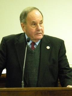
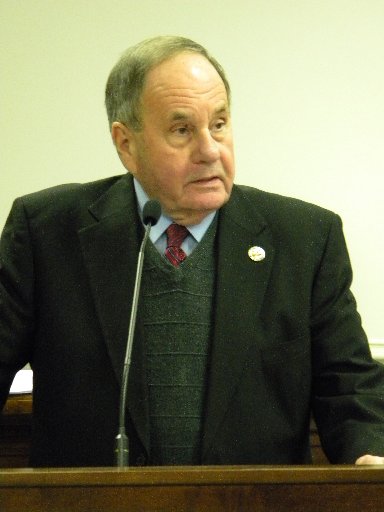
 Cleveland Mayor Tom Rowland
CLEVELAND, Tenn. – The next step for local governments after the 2010 U.S. census is about to begin: Redrawing the lines that determine the districts of the Bradley County Commission, the Cleveland City Council and county and city school boards.
Political boundaries for federal, state and local governments are redrawn every 10 years after a national census.
On Monday, County Commission Chairman Louie Alford appointed one county commissioner from each of the seven districts, along with county Elections Director Fran Green and county Geographic Information System Director Wayne Owenby, to a redistricting committee.
GIS is the computer mapping system local governments use to store and display map data.
Cleveland Mayor Tom Rowland said Tuesday that he intends “to appoint the five council members who represent a district along with Ms. Green and someone from GIS, on Monday.”