
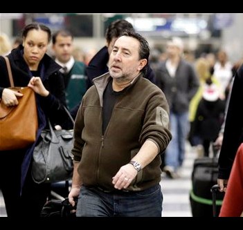
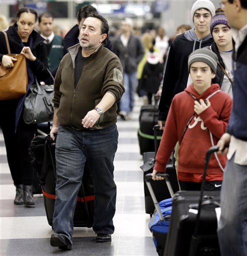
 Passengers walk through Terminal 3 at O’Hare International Airport in Chicago on Saturday, Dec. 21, 2013.
CHICAGO – A storm with a 2,000-mile footprint threatened to frustrate Christmas travelers from Texas to Nova Scotia with a little of everything Mother Nature has to offer, from freezing rain, ice and snow to flooding, thunderstorms and possibly some tornadoes in the South.
Some of the millions of people hitting the roads and airports Saturday squeaked through before any major weather hit, but as the afternoon wore on some cancellations and delays started to mount at major aviation hubs. Forecasters said roads that are passable one minute could become treacherous the next as a cold blast on the backend of the storm turns rain to ice and snow.
Making it harder for forecasters to stay a step ahead, the system was a weird swirl of wintry and spring-like weather as it passed over areas in the Midwest with freezing temperatures and places like Memphis, Tenn., where temperatures surpassed 70 degrees on Saturday.
“This is a particularly strong storm with very warm, near record-breaking temperatures in the East and very cold air in the Midwest, and that contrast is the sort of conditions that are favorable for not only winter weather but also tornadoes,” said National Weather Service meteorologist Ed Danaher in College Park, Md.
The worst of the storm was expected to hit Midwest population centers Saturday night, giving some travelers a window at the start of the holiday rush to get through airports and along highways with little disruption. About 350 flights had been cancelled, nationwide, as of 5 p.m. EST, according to aviation tracking website FlightAware.com. Most of the disruptions were affecting flights in and out of major hubs like O’Hare International Airport in Chicago, though the weather there was not yet nasty.