
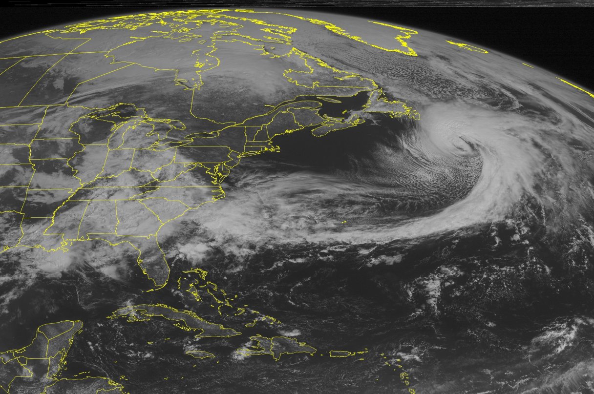
A low pressure system impacted the central third of the country on Thursday, while a ridge of high pressure persisted across the West Coast.
A strong area of low pressure inched slowly eastward over the Four Corners. Winter storm warnings were issued in northeast Utah, Colorado and southern Wyoming as heavy snow showers impacted the Wasatch and the Rockies. Snowbird, Utah, reported a midday total of 45.0 inches of snow, while Upper Millcreek, Utah, reported a midday total of 14.0 inches of snow. This system also collided with a warm, muggy air mass from the Gulf of Mexico. This interaction generated strong to severe thunderstorms across portions of the central and southern Plains. A tornado warning was issued in northern Texas, while severe thunderstorm warnings were scattered across the central and southern Plains.
Meanwhile, a stationary front extended across the Gulf Coast. This frontal boundary interacted with an onshore flow from the Gulf of Mexico, which resulted in heavy rain and severe thunderstorms across the Gulf Coast and the Deep South. A tornado warning was issued in southern Texas, while flash flood warnings were issued in southeast Texas. In addition, flood warnings were issued across the middle and lower Mississippi Valley, the Tennessee Valley and the central Gulf Coast. Chattanooga, Tenn., reported a midday total of 2.39 inches of rain. Tuscaloosa, Ala., reported a midday total of 1.94 inches of rain. Scattered showers and thunderstorms also popped up across the Ohio Valley and the Mid-Atlantic.
A ridge of high pressure over the eastern Pacific kept conditions dry across the western third of the country. Temperatures ranged between the 70s and 80s across the southern California and Arizona deserts.
Temperatures in the Lower 48 states Thursday have ranged from a morning low of 10 degrees at Grand Canyon, Ariz. to a midday high of 90 degrees at Fort Myers, Fla.