
Photo Gallery
Cajun's Wharf and Chucky P's B-day










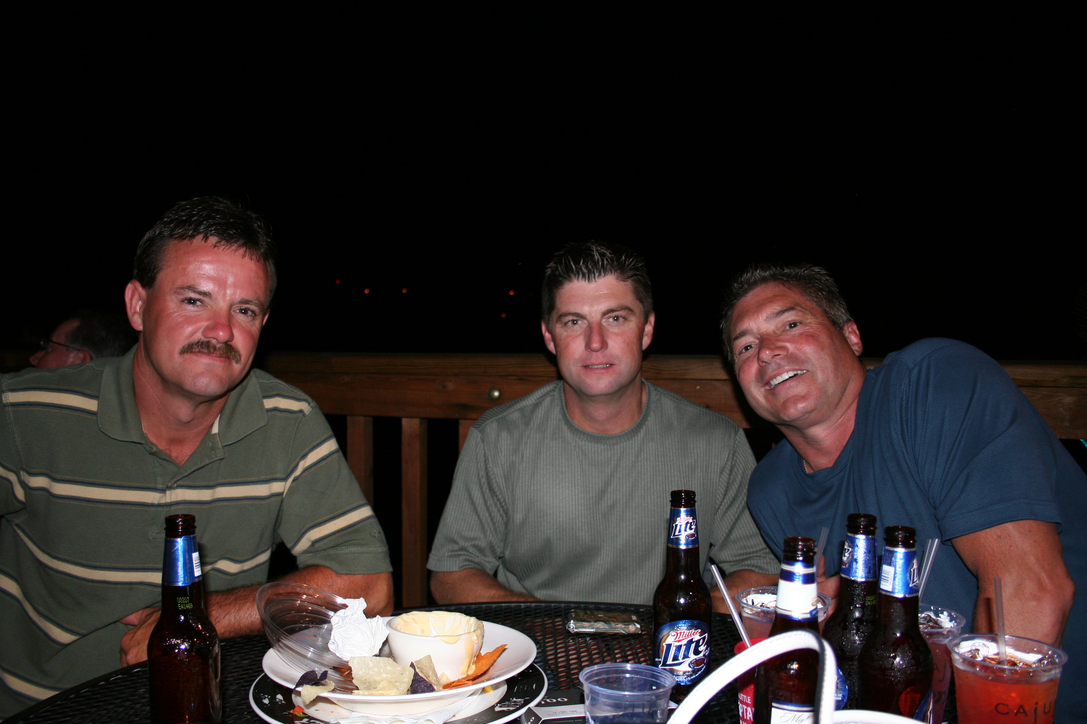









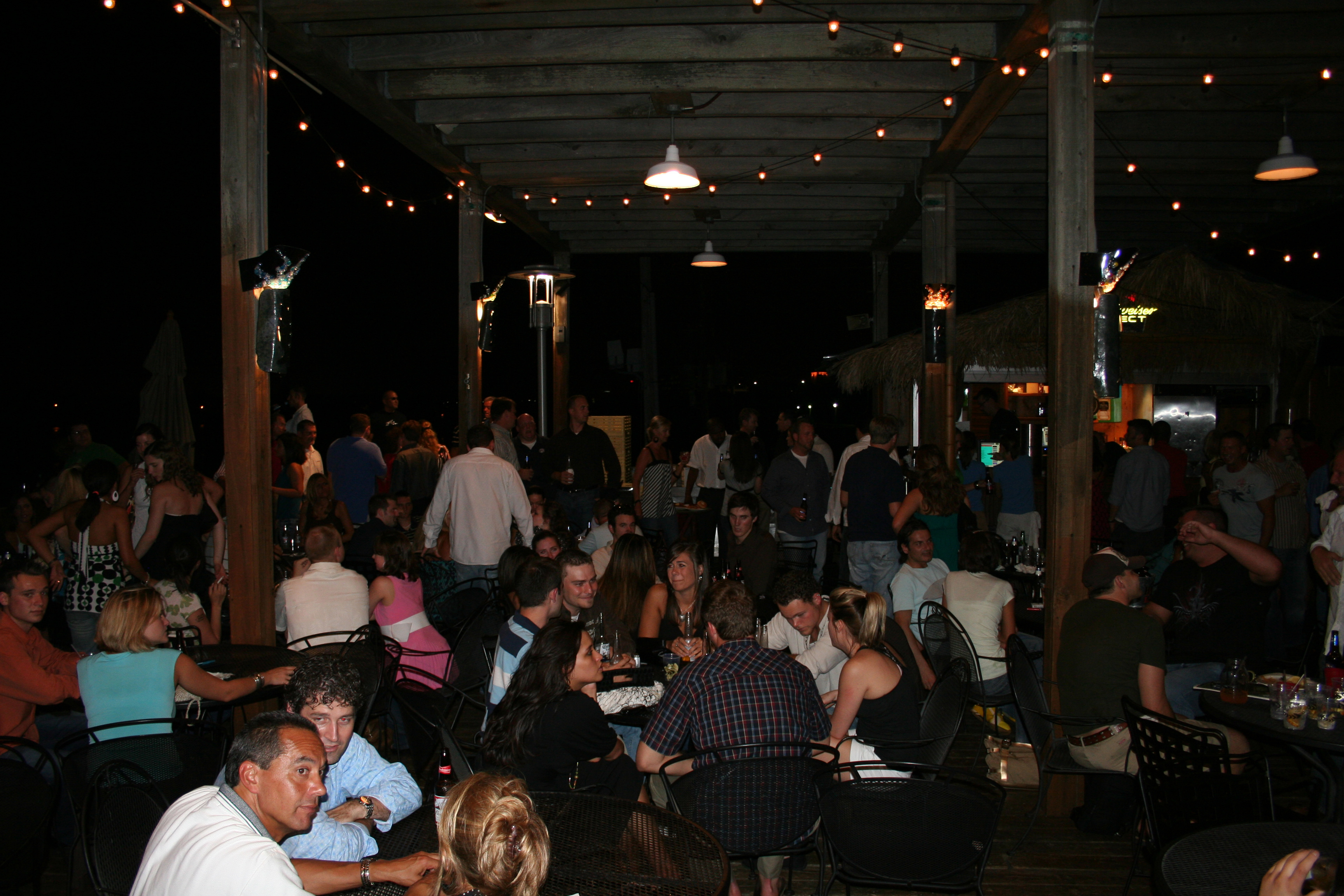



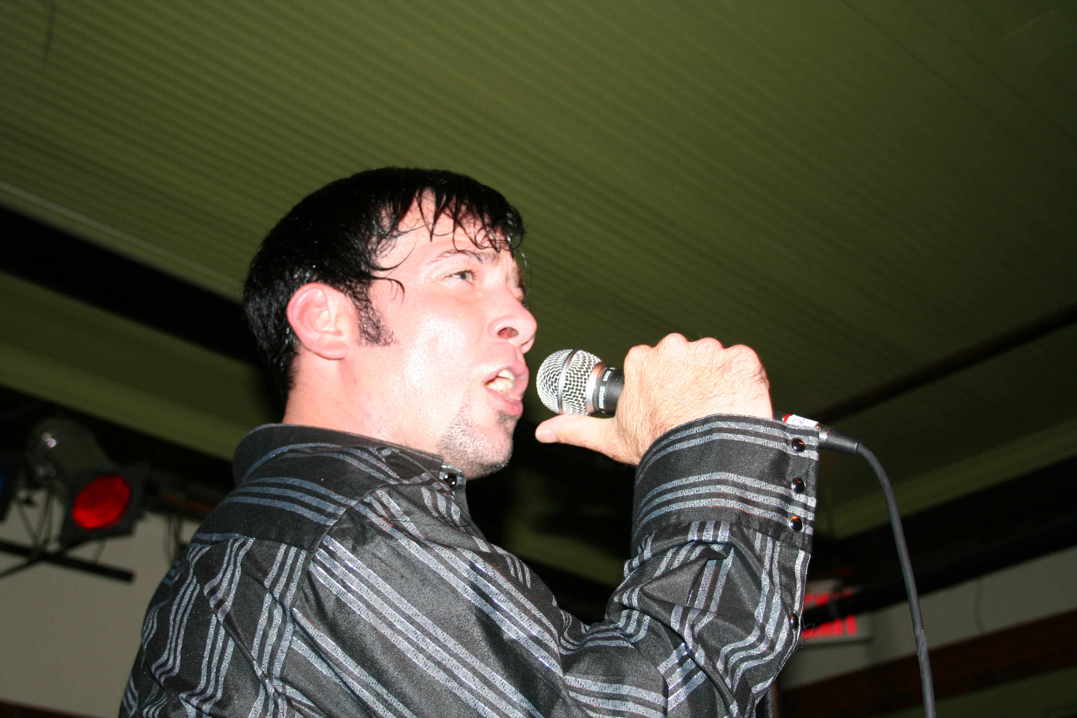










Besides the popular Big Swinging Deck Party, DJ Chucky P celebrated his birthday too! Thursday, June 7
Tuesday school closings, delays
* Athens City Schools will be closed. * Baylor will be closed. * Bradley County Schools will be closed. * Catoosa County Schools will be closed.* Chattanooga State State’s Main (Amnicola) and East (Lee Highway) campuses will open at 10:30 a.m. Sequatchie/Bledsoe, Kimball and Dayton/Rhea locations will be closed. * Chickamauga City Schools will be closed. * Christian Heritage of Dalton will be closed. * Cleveland City Schools will be closed. * Dade County schools are closed. * Dalton City Schools will be closed. * Hamilton County Schools will be closed. * GPS will be closed. * Grundy County Schools will be closed. * Marion County Schools will be closed. * McCallie will be closed. * Meigs County Schools will be closed. * Richard Hardy Memorial School will be closed. * Rhea County Schools will be closed. * Virginia College will be closed. * Walker County schools are closed. * Whitfield County Schools will be closed. * Chattooga County Schools will delay opening 2 hours. * Dalton State is delayed until 10 a.m. * Georgia Northwestern Technical College will delay opening until 11:00 a.m. * UTC will delay opening until 10 a.m.
Other Tuesday closings, delays
* The Tennessee General Assembly will be closed Tuesday. All legislative offices will be closed and committee meetings are cancelled. * North Georgia Health District office in Dalton, Ga., and public health departments in Cherokee, Fannin, Gilmer, Murray, Pickens and Whitfield Counties will delay opening until 11 a.m. * Walker County Transit will be closed. * CHI Memorial reports opening delays of 10 and 11 a.m. at many facilities and a few closings (see bottom of page for full list. * Chattanooga city employees will have a 9 a.m. start time.* Roberts Mill Road is closed to traffic.
Read more
* North Georgia snowstorm threat got swept away* State of emergency declared in Tennessee after storm brings icy conditions* Icy roads cause delay in Times Free Press newspaper deliveries
Upcoming forecast
* Today: Low – 22, High – 35, Slight chance of snow * Wednesday: Low – 9, High – 35, Slight chance of snow * Thursday: Low – 9, High – 23, Partly cloudy * Friday: Low – 27, High – 31, Slight chance of snow * Saturday: Low – 38, High – 44, Cloudy with a chance of rain and snow * Sunday: Low – 37, High – 48, Chance of rain Source: National Weather Service
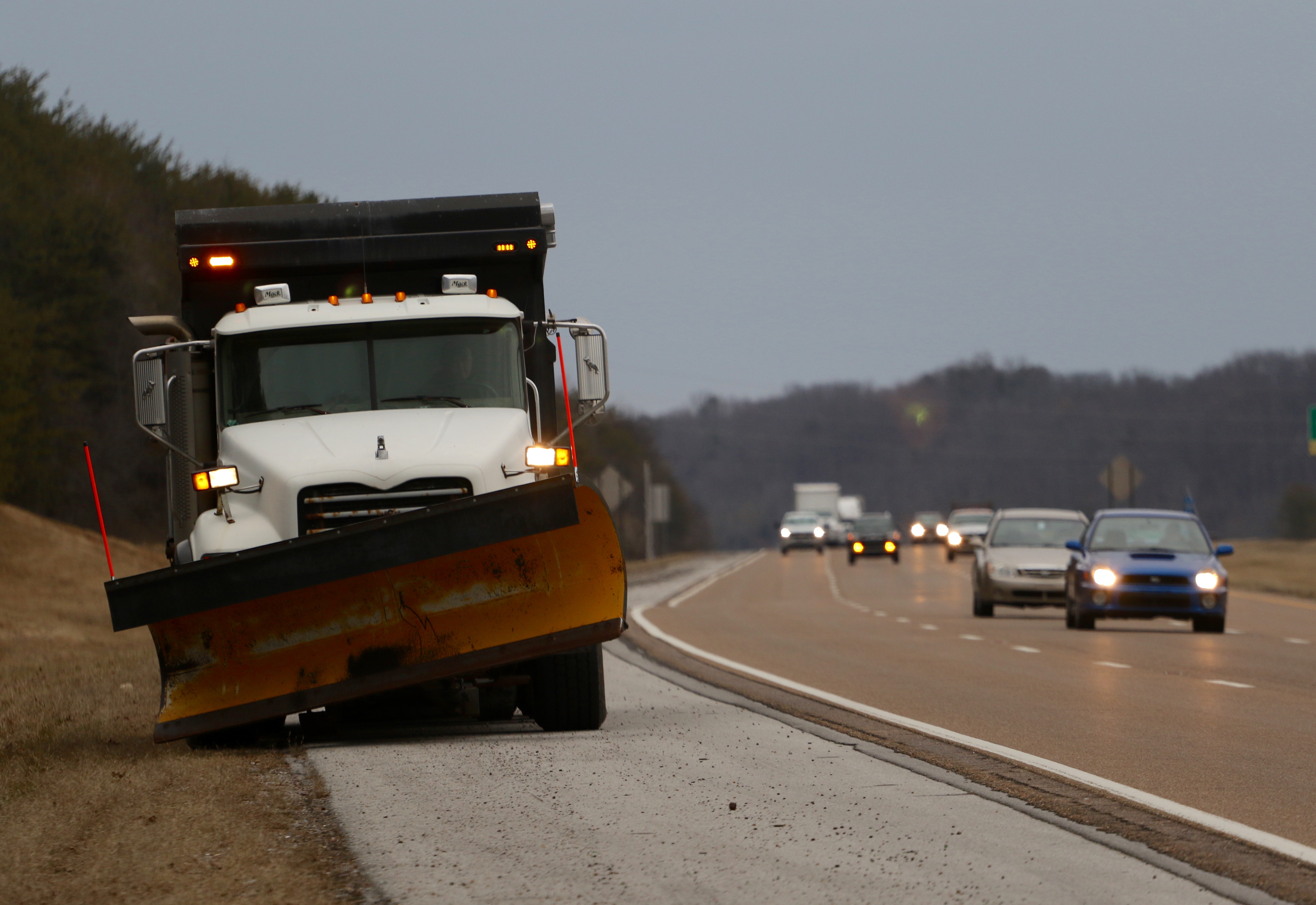 A Department of Transportation inclement weather vehicle stages in preparation for frozen precipitation to begin falling on Highway 27 early Monday morning.
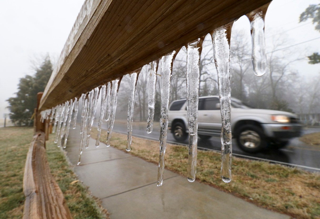
While winter storm Octavia largely spared Chattanooga on Monday, leaving behind mostly a soggy mess, she wasn’t as kind to areas north of the Scenic City, where ice replaced an expected dump of snowfall.
Forecasters expected the storm that has wreaked havoc across the country to dump up to six inches of snow in this region. But as weather models changed, it became clear that local predictions were overblown. Warmer-than-expected air from the Gulf of Mexico offset the moving cold front, preventing rain from turning into snow, after people ritualistically flocked to grocery and hardware stores over the weekend in preparation.
But ice started forming Monday on mountaintops, along the Cumberland Plateau and in low-lying parts of Bledsoe, Sequatchie and Rhea counties.
Crossville Fire Chief Tim Johnson said roads were already dangerous by mid-day Monday. By Monday’s end, the National Weather Service expected Crossville’s ice accumulation to reach about half an inch, and the city was expected to get another inch of combined snow and ice overnight.
“It doesn’t take but an eighth of an inch of ice to get crazy-slick,” Johnson said. “Four-wheel drive means nothing.”
Ice continues to be the major concern for Chattanooga-area roads as well.
Schools were out in observance of Presidents Day on Monday, and many Southeast Tennessee and North Georgia districts canceled classes for today.
WRCB-Channel 3 Chief Meteorologist Paul Barys said rainfall would amount to about an inch Monday. The rain was expected to stop around midnight, he said, possibly leaving ice on area roads as temperatures dropped into the 20s.
“After midnight it’s a road problem, not a weather problem anymore,” Barys said.
The cold air predicted for the area may stay below freezing for several days straight, later in the week, he said.
“We’re going to have single digits in the city and it’s going to be below zero up on some of the mountains,” he said. “That’s really, really cold for this area.”
Barys said computer models were to blame for earlier estimates of a big snowfall. But the models weren’t exactly wrong, as snow did accumulate in other areas of Tennessee.
“That’s the thing: This storm has been a very tricky one,” said Amy Maxwell, spokeswoman for the Hamilton County Emergency Management Agency. “It has changed dramatically over the last two days.”
Chattanooga and Hamilton County crews were busy prepping roads Monday and overnight. Chattanooga public works employees said they would continue to spray brine on the city’s main roads throughout the night, while a dozen EPB workers were in the field along with more crews on standby for power outages and trees down on power lines — a major concern after tree limbs started to accumulate ice Monday afternoon.
Downed power lines halted electricity to 500 EPB customers on Signal Mountain Monday evening. And Rhea and Cumberland counties reported scattered outages.
Chattanooga Public Works Director Lee Norris said his staff was given a crash course in chain saw safety and was prepared to respond to any reports of fallen trees blocking driveways or roads in the city.
Farther north, on the steep I-24 route to Monteagle, the American Red Cross set up a temporary overnight shelter Monday for motorists who got trapped in their car. The shelter already had a few people coming in by 5:30 p.m. Central time.
“We have no idea what or how many people to expect,” said Robert Tapley, disaster services volunteer for Monteagle’s American Red Cross.
Predictions of icy roads caused even the Tennessee General Assembly to shut down today’s proceedings.
“I would encourage all Tennesseans to keep police officers, firefighters and other emergency personnel in your thoughts and prayers as they work to keep us safe throughout this weather event,” Lt. Gov. Ron Ramsey said in a statement Monday.
The storm crippled many parts of the South, which unlike the Northeast, had been mostly spared from severe weather this winter. In Kentucky, snow swirled sideways, The Associated Press reported, as the capital city of Frankfort grinded to a frozen halt Monday. And states of emergency were declared in both Mississippi and Georgia.
By early Monday evening, things were getting spotty in Cleveland, Tenn., and Athens, Tenn.
Levi Miller, an employee at Elder’s Ace Hardware in Cleveland, said he had trouble on his drive in from Calhoun in the early afternoon.
“I was sliding around in my truck on the way here,” he said. “And I have mud tires on my truck.”
Staff writer Kendi Anderson contributed to this story.
Contact staff writer Kevin Hardy at khardy@timesfreepress.com or 423-757-6249.
CHI Memorial closings, delays
Closed/canceled * Hixson Infusion Center and nursing orientation are 10 a.m. opening: Buz Standefer Lung Center Breast Center of Chattanooga Chattanooga Internal Medicine Group CHI Memorial Arthritis & Rheumatology Associates CHI Memorial Primary Care Associates – Gunbarrel CHI Memorial Primary Care Associates – Hixson Dr. Jurgens, Parker, Jolley Harrison Medical Center Hixson Pike Medical Center Memorial Family Medicine Ooltewah Memorial Metabolic and Bariatric Care Memorial Robotics and Urologic Cancer Care CHI Memorial Pediatric Care Associates Renee Harless Signal Mountain Health & Wellness Soddy Daisy Medical Center Spring City Medical Center TCFPA Family Medical Center Drs. Laramore Heinsohn, Donowitz and Strickland Professional Park Associates Mountain Management offices Dr. Mashchak of CHI Memorial Women’s Health Associate 11 a.m. opening: * Beacon OB/GYN Noon opening: * Chattanooga Heart Institute