
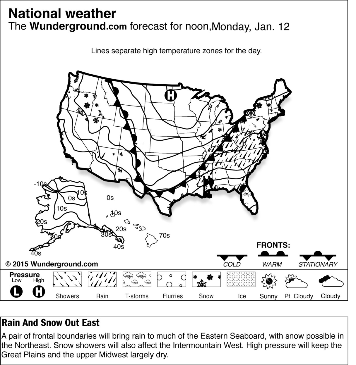
NEW YORK (AP) – Forecasters are warning motorists to expect slippery roads at the start of the work week as a storm brings freezing rain, sleet and snow from the Ozarks to New England.
The National Weather Service issued a winter weather advisory for Monday for a swath stretching from near St. Louis to southern New England as the storm moves northeastward from the Mid-Mississippi Valley. Poor driving conditions are expected through much of the day.
Roads and sidewalks began to glaze over Sunday night in central Indiana along the Interstate 70 corridor. In Ohio, Columbus officials said the city’s “snow warriors” would be monitoring roads overnight and treating them as necessary to help keep snow and ice from bonding to the pavement.
Light freezing rain is forecast Monday for Washington and Baltimore, while Philadelphia and New York are expected to get freezing rain, sleet and light snow. Boston could see periods of freezing rain and sleet.
Snowfall across the area, including the southern Great Lakes, northern Pennsylvania, New York and New England is expected to be 3 inches or less.