

Update:
Flash flood watch issued in Chattanooga region
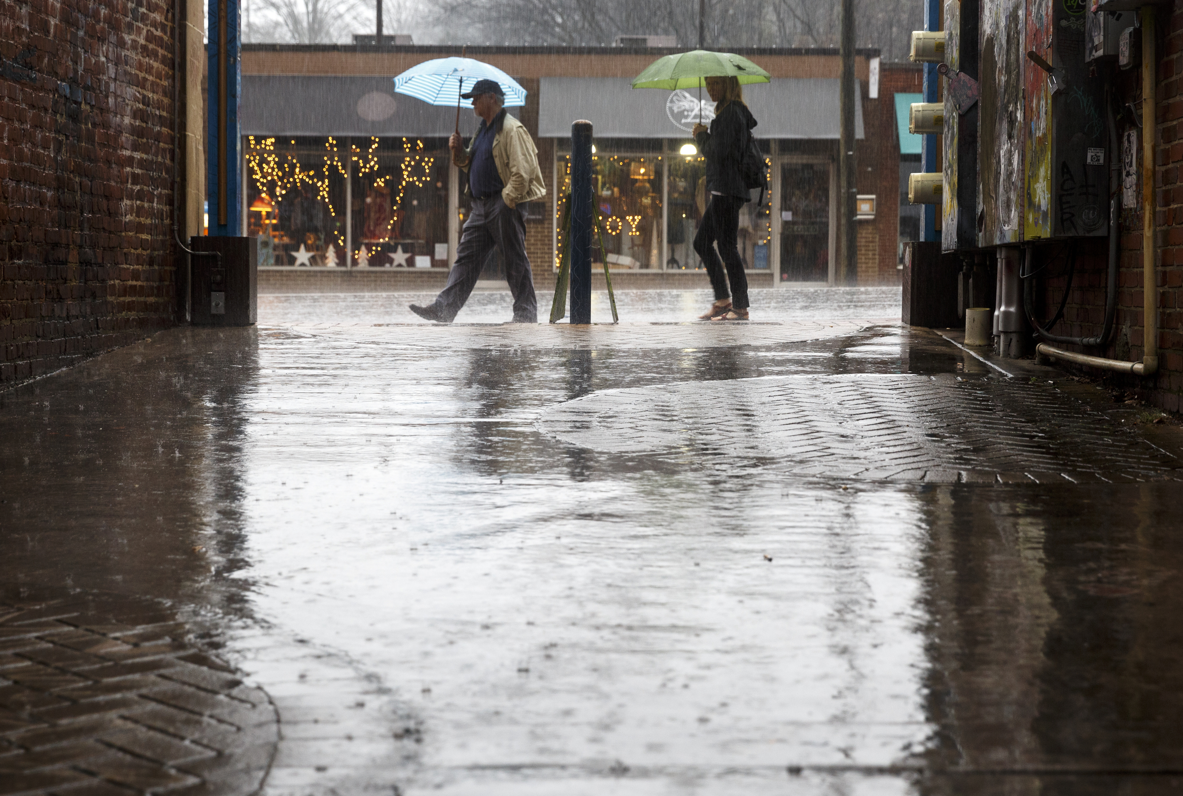 Pedestrians walk along Frazier Avenue during afternoon rainfall after additional storms swept through the region Monday, Dec. 28, 2015, in Chattanooga, Tenn. The region recorded record-high temperatures over the past week amid heavy rainfall.
 Pedestrians walk along the Walnut Street Bridge during afternoon rainfall after additional storms swept through the region Monday, Dec. 28, 2015, in Chattanooga, Tenn. The region recorded record-high temperatures over the past week amid heavy rainfall.
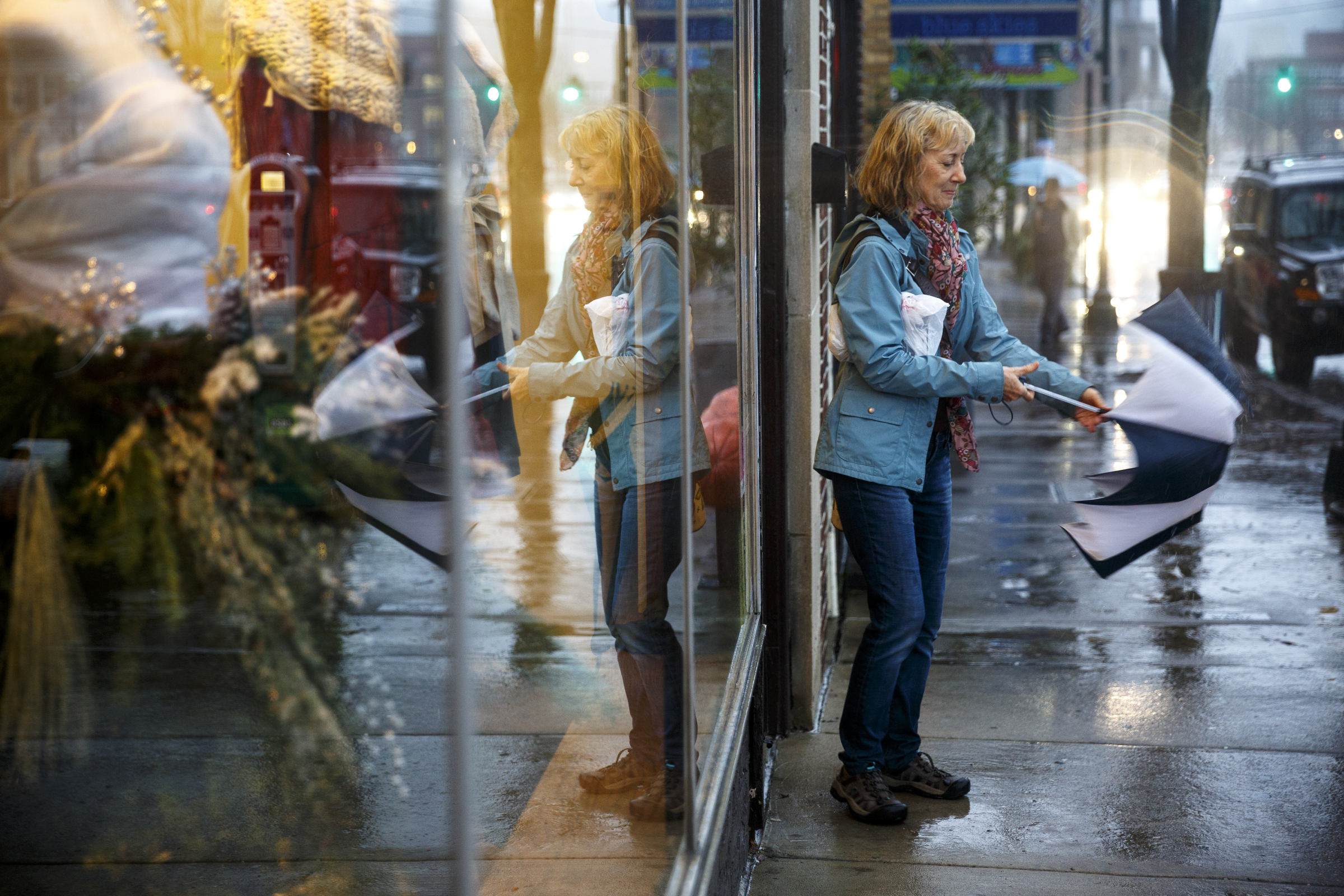 Cindy Ouzts puts away her umbrella to enter a shop on Frazier Avenue as rain falls after additional storms swept through the region Monday, Dec. 28, 2015, in Chattanooga, Tenn. The region recorded record-high temperatures over the past week amid heavy rainfall.
THE LATEST:
1:05 p.m.
___
The powerful storm system is expected to bring heavy rain, winds and possibly some snow to parts of Arkansas.
The National Weather Service in Little Rock says southeast Arkansas could get 3 inches or more of rain, while the Ozark and Ouachita Mountain areas could see 1 to 3 inches of snow on Tuesday night and Wednesday morning.
A high wind watch is in effect for central and northeast Arkansas from 6 p.m. Tuesday until Wednesday afternoon.
___
12:45 a.m.
National Weather Service forecasters are urging people in the central area of North Carolina to brace for possible severe weather later in the week.
Forecasters say straight-line wind gusts are possible Wednesday and could cause damage.
The weather service also says that with the system bringing severe weather expected to move across central North Carolina during school hours on Wednesday, schools and universities should take time to review their severe weather safety plans and review their tornado sheltering procedures.
___
10:30 a.m.
A line of thunderstorms has moved into western Louisiana, bringing rain and fog.
As the system moves east, forecasters say an area extending from Baton Rouge through the parishes north of Lake Pontchartrain is at moderate risk for a few strong thunderstorms, with the possibly of an isolated tornado, strong winds and heavy rain. All of southeast Louisiana remains under a tornado watch until 5 p.m. local time.
Louisiana Commissioner of Administration Jay Dardenne is closing government offices in 15 parishes at noon before Tuesday’s severe weather arrives.
Schools in most of those parishes are also closed for the day.
___
10 a.m.
Storms in South Texas have left thousands of people without power and windows broken after hail the size of golf balls damaged some buildings.
The Kinney County Sheriff’s Office says nobody was hurt in Monday night’s bad weather.
Dispatcher Ana Amescua (AH’-nuh uh-MES’-kwah) says hail the size of golf balls and larger broke windows throughout Brackettville – including at the town’s schools. Administrators canceled classes Tuesday in Brackettville, 30 miles east of Del Rio.
AEP Texas reported about 10,000 customers in Del Rio without electricity after a substation was damaged. Classes were canceled Tuesday at the San Felipe Del Rio Consolidated Independent School District due to no power.
A Houston ISD bus flipped Tuesday while driving on a rain-slick road, leaving the driver slightly hurt. No children were aboard.
___
10 a.m.
A powerful storm system is expected to bring heavy rain, powerful winds and some snow to parts of Arkansas on Tuesday and Wednesday.
The National Weather Service in Little Rock described the storm system as a “three-headed monster” on its Facebook page. Southeast Arkansas is expected to see 3 inches or more of rain, while the Ozark and Ouachita Mountain areas could see 1 to 3 inches of snow on Tuesday night and Wednesday morning.
A high wind watch is in effect for central and northeast Arkansas from 6 p.m. Tuesday until Wednesday afternoon. Forecasters say winds could gust as high as 40 mph to 50 mph on Tuesday night.
Forecasters say the wind watch covers the Interstate 40 and U.S. 67 corridors, which will make driving difficult.
___
8:30 a.m.
Some Alabama school systems are planning to dismiss students early and cancel after-school events in anticipation of severe storms striking the state, along with other parts of the Deep South.
The Tuscaloosa County School System said in a statement that school officials decided to cancel all after-school activities Tuesday after a briefing from emergency management officials and the National Weather Service in Birmingham.
Mobile County Public Schools announced it will also cancel all after-school activities Tuesday and said officials there will decide by late Tuesday morning whether to dismiss students early.
Troy City Schools said in a statement that students would be dismissed early, at 1 p.m. Tuesday, and all after-school activities would be canceled due to the weather threat.
___
7:35 a.m.
A Houston school bus has flipped onto its side along a highway while driving in rainstorms.
Houston Independent School District spokeswoman Lila (LEE’-luh) Hollin says the bus driver suffered minor injuries during the accident around dawn Tuesday along Highway 288. Hollin says no students were on board during the accident she says may be related to weather.
The school bus ended up on its side atop an embankment.
Some school districts in South Texas canceled classes Tuesday amid the storms moving across Texas and into the Deep South. The San Felipe Del Rio Consolidated Independent School District in Del Rio called off school due to power outages.
School was canceled at the Brackett ISD in Bracketville, about 30 miles east of Del Rio, which reported some damage to buildings and vehicles.
___
6:40 a.m.
Forecasters have issued flash flood watches in Alabama and Georgia ahead of a storm system that’s expected to drop 1 to 2 inches of rain, with higher amounts possible in some areas.
The warnings, which cover large parts of both states, are expected to be in effect through Wednesday afternoon.
The National Weather Service says new rain on already saturated soil could cause roads to flood, as well as low-lying areas and small streams.
The weather service projects that some of the heaviest rain will fall in metro Atlanta and in parts of the north Georgia mountains, where up to 3 inches is expected.
___
5:55 a.m.
Schools across Louisiana are cancelling classes ahead of a severe storm that’s expected to move across the Deep South.
The Advocate reports that West Baton Rouge Parish, East Baton Rouge Parish, Zachary, Central, East/West Feliciana, St. Helena, Pointe Coupee, Iberville, Livingston, Ascension, Tangipahoa, St. James and Baker public schools and Diocese of Baton Rouge Catholic schools have canceled classes Tuesday.
LSU and Southern University also announced classes will be canceled starting Tuesday at noon.
In the greater New Orleans area St. Tammany and Washington parishes are closed.
The forecast calls for an increased risk for severe weather across most of Louisiana with some areas in Washington, Tangipahoa and St. Helena parishes facing a greater risk.
___
5:20 a.m.
School districts around the Hattiesburg area in Mississippi are preparing for and keeping an eye on severe weather that’s likely to hit the area Tuesday afternoon.
The Hattiesburg American reports Hattiesburg, Forrest County and Petal school districts say they’re watching the weather carefully and will make any closing or early dismissal decisions as needed.
Covington and Lawrence county schools will close at noon. Jones County schools will close by 1 p.m. West Jasper School District is releasing students at 12:30 p.m.
PREVIOUS STORY FOLLOWS:
ATLANTA (AP) – Fierce storms could bring strong tornadoes, hail and damaging winds to several states in the Deep South during the day and into the night on Tuesday, forecasters say.
The National Weather Service estimates that more than 7 million people in parts of five states – Louisiana, Mississippi, Alabama, Florida and Georgia – are in an area of enhanced risk for a few strong tornadoes and other severe weather during Tuesday’s storms.
Meteorologists at the national Storm Prediction Center in Norman, Oklahoma, say the areas at highest risk of the most dangerous storms will be in southern Alabama and southern Mississippi, along with slivers of northeast Louisiana and northwest Florida. That area includes the cities of Mobile, Alabama; and Hattiesburg, Mississippi.
The system will bring “a pretty substantial risk for supercells” that could spawn strong tornadoes, but also lines of storms that pose threats as well, said Greg Carbin, a meteorologist at the Storm Prediction Center.
“We definitely are starting to move into that time of year where the ingredients for these types of storms are beginning to come together,” Carbin said.
In Louisiana, storms with large hail, damaging winds and isolated tornadoes could hit the New Orleans area from midafternoon Tuesday through early evening, said Andrew Ansorge, a weather service meteorologist in Louisiana.
The storms are forecast to spread east across Alabama and into Georgia and north Florida, posing a threat into the evening, Carbin said.
In Mississippi, forecasters say strong tornadoes could form south of the Interstate 20 corridor.
In Alabama, a large part of the state will be under an elevated risk of storms late Tuesday afternoon through early Wednesday morning, according to forecasts from the weather service. That area – which includes the Alabama cities of Birmingham, Montgomery, Mobile, Auburn and Tuscaloosa – could see tornadoes, winds of up to 70 mph, and quarter-sized hail, the weather service projects.
In Georgia, a total of 3.4 inches of rain is expected in Atlanta from showers and storms Monday through Wednesday, which could produce some flooding, according to forecasts from the weather service’s office in Peachtree City, Georgia.