
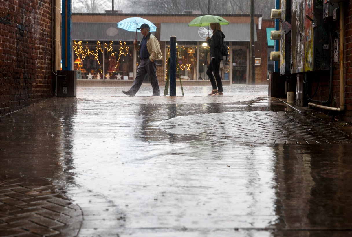
The National Weather Service predicts that a line of thunderstorms will move into the Chattanooga region this afternoon, bring with them damaging winds and flooding.
“Some of these storms will be strong to marginally severe with damaging winds and localized flooding being the main threats,” the federal agency predicted in a hazardous weather outlook.
The service issued a severe thunderstorm watch until midnight tonight for Bradley, Polk, Hamilton, Marion, Rhea, Sequatchie and McMinn counties, among others in the Chattanooga region.
Meanwhile, Tennessee officials declared a state of emergency Thursday after flash flooding overnight heavily damaged homes in at least two counties, and strong winds caused sporadic power outages in Nashville and a wide swath of northern and Middle Tennessee into parts of southwestern Kentucky.
The National Weather Service issued a flood watch for much of Middle Tennessee as a second storm system was coming through the area Thursday afternoon.
The Tennessee Emergency Management Agency declared the state of emergency early Thursday. By late afternoon agency spokesman Dean Flener said they had received reports that about 20 homes had been destroyed in Stewart County as well as a church and day care. Another seven homes, two churches, a ballpark and a restaurant all had major damage. In Sumner County, 30 homes had been damaged and four bridges had major damage.
Although people in several counties had to be rescued from rising waters, as of Thursday afternoon there had been no reports of storm-related injuries or deaths in Tennessee, Flener said.
National Weather Service Meteorologist-in-Charge at the Nashville office Larry Vannozzi said there were reports of northwest Tennessee counties receiving as much as 6 inches of rain overnight and counties surrounding Nashville saw as much as 4 inches.
Vannozzi said the already-saturated ground combined with strong winds from the new storm could mean even more downed trees and power lines.
In Kentucky, storms downed power lines and damaged buildings in the Paducah area. A small tornado hit nearby Metropolis, Illinois, but no life-threatening injuries were reported.