
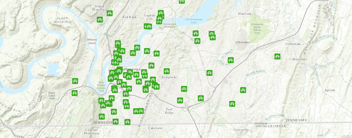
The City of Chattanooga announced the release of a new interactive map Wednesday that is designed to help people more easily locate city parks and other recreation options.
Found at pwgis.chattanooga.gov/ParksLocator/, the map allows users to search for parks and other public outdoor areas by location and activity.
“The new map increases the ability of residents and visitors to access and enjoy the City of Chattanooga’s extensive network of public parks, playgrounds, walking paths, and leisure facilities, including 4,800 acres of park space and 35 miles of greenways and trails,” according to a news release. “More than 80 parks offer a variety of passive and active recreation as well as tennis and basketball courts, walking and biking trails, ball fields, dog parks, disc golf courses, and boat launches.”
The city’s Geographic Information Systems and Parks divisions within the Department of Public Works handled the project.