
HOUSTON (AP) – The explosive expansion of Houston subdivisions into prairies far to the west helped make the city affordable for the average 345 people who moved there each day, but it also paved over thousands of acres that the U.S. Army Corps of Engineers had intended for a reservoir and other flood-control projects to help against deluges like the ones from Harvey.
The push of subdivisions and freeways across what once was hundreds of square miles of flood-absorbing tallgrass prairies was part of the U.S.-leading population growth of Houston and surrounding Harris County. But the go-go-growth placed housing developments across the drainage basin of the two major reservoirs and dams safeguarding downtown Houston.
Thousands living in the western subdivisions that crowd up to the edges of the reservoirs remain under evacuation orders, after Harvey’s record rains killed dozens of people in the Houston area and beyond, flooded tens of thousands of homes, and sent floodwater roaring around the edge of Houston’s Addicks Dam for the first time in its 70-year history.
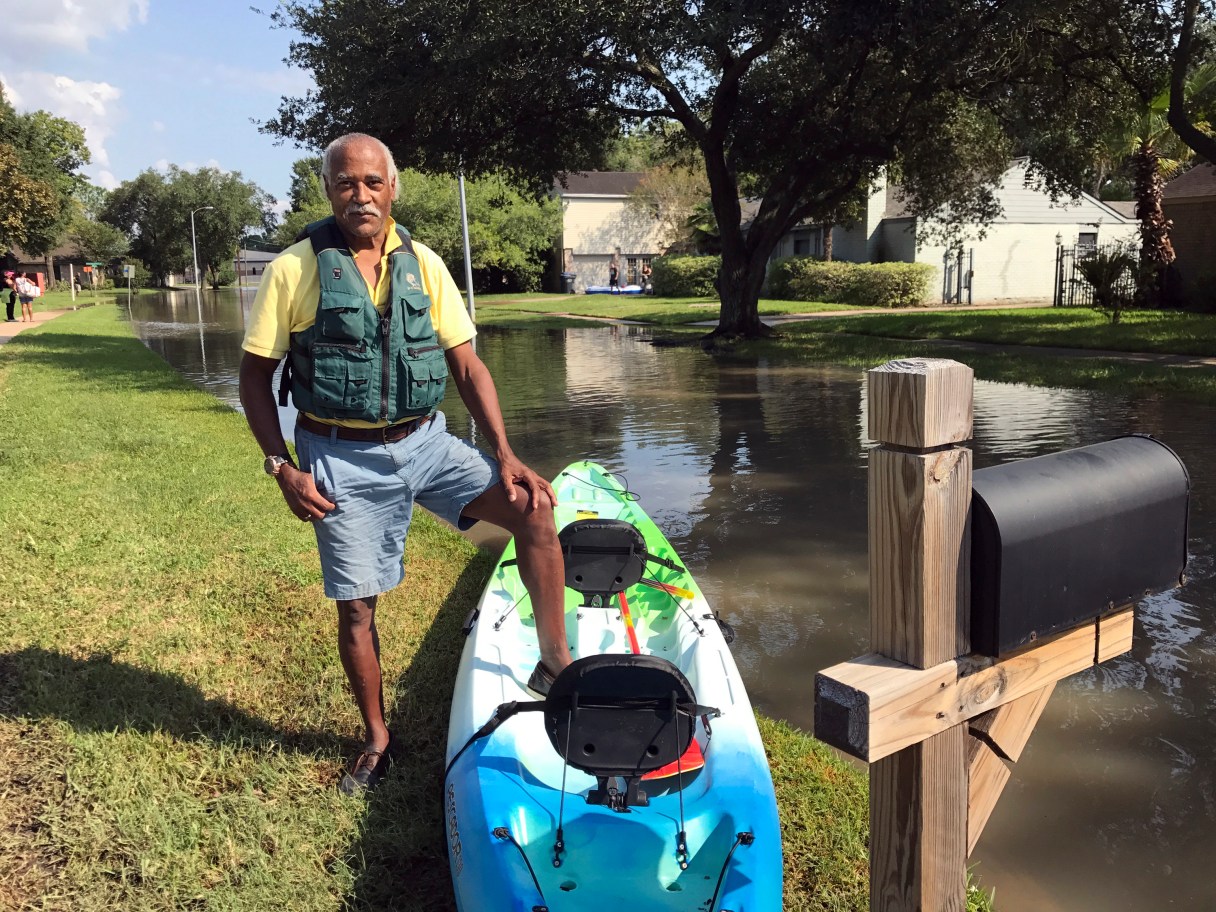
“Guess what was out here” when Houston’s dams were built, said Gordon Prendergast, who had bought a kayak to come see how his house was faring after his neighborhood was evacuated. “Wilderness! Goats and wild coyotes, and nobody had any idea they’d build houses out here when the Army Corps was building that dam.”
Prendergast, 65, didn’t blame the Corps or the engineers for the flooding of all the houses crowded around reservoirs. “The only thing they could have done differently is block off this entire area, and make this a national park, and say you cannot have subdivisions,” he said.