


































JACKSONVILLE, Fla. (AP) – Hurricane Irma’s devastating storm surge came with weird twists that scientists attribute to the storm’s girth, path and some geographic quirks.
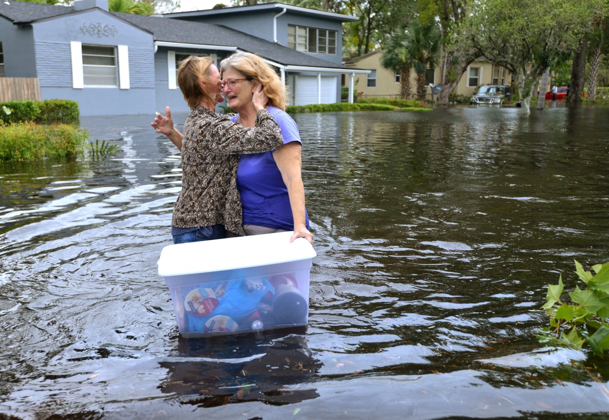
A combination of storm surge, heavy rains and swollen rivers sent some of the worst flooding into Jacksonville, Florida, even though Irma roared into the opposite end of the state, had weakened to a tropical storm and its eye stayed at least 80 miles (130 kilometers) away.
Although preliminary data suggest Irma’s eye pushed a surge of more than 10 feet (3 meters) onto southwest Florida’s Marco Island, the highest water levels were reported hundreds of miles away in Jacksonville and Savannah, Georgia, according to the National Oceanic and Atmospheric Administration.
And southwestern Florida, which is prone to surges, saw the opposite at first: a strange-looking negative surge that sucked the water off the sea floor quickly enough to maroon several manatees. After the water pulled away from the beaches and bay, it came back with vengeance, but much of Florida’s west coast wasn’t swamped as badly as it could have been because Irma’s track kept them safe from the storm’s stronger eastern side.
“You can call it bizarre; I might call it unusual or unique,” said Rick Luettich, director of the Institute of Marine Studies at the University of North Carolina. “What was very unusual about it was, it spanned two coastlines that were in different-facing directions. As a result, you got the opposite behavior on both coastlines.”