
Thursday, October 29, 2026Oct 29

This story is free to read.

Scattered thunderstorms, heavy rain and strong winds possible today

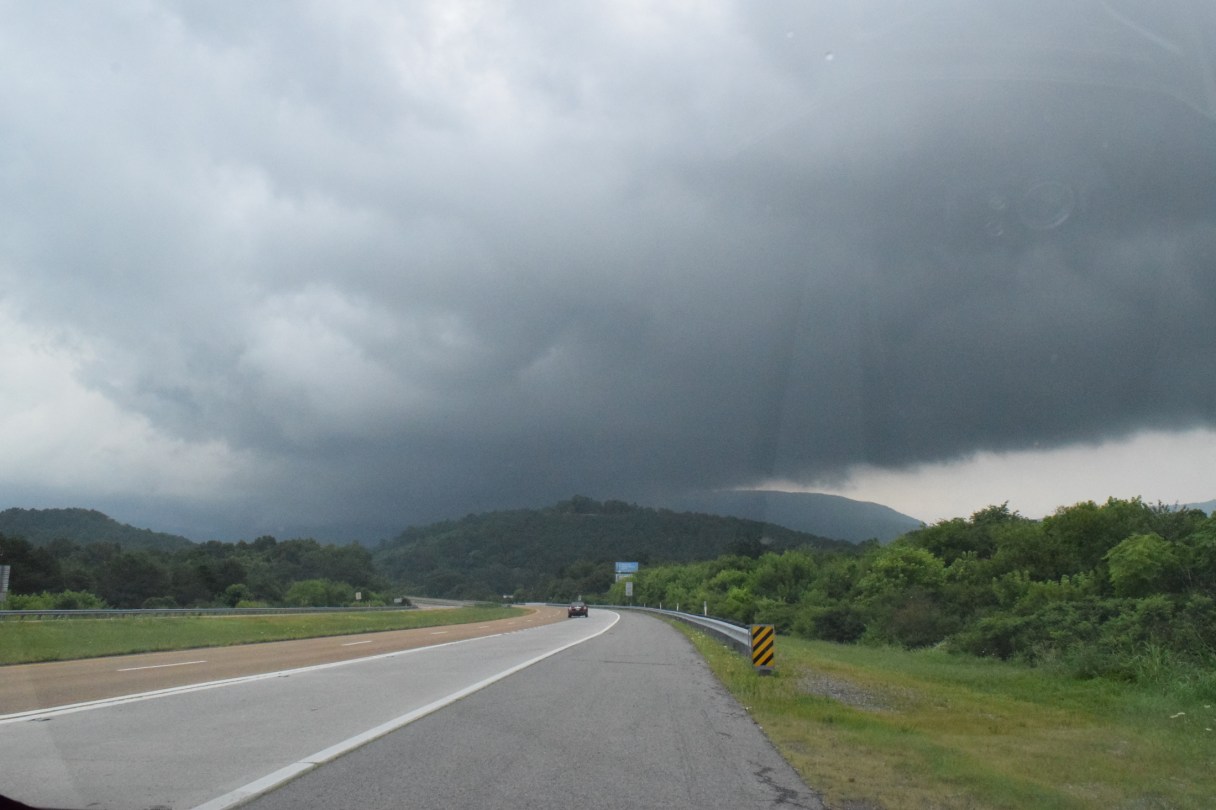
A free Severe Weather Spotter course offered by the National Weather Service will teach participants how to identify the potential for severe weather, such as in this 2015 storm cloud that loomed over Waldens Ridge in Sequatchie County at the Highway 111 ridge cut.
A free Severe Weather Spotter course offered by the National Weather Service will teach participants how to identify the potential for severe weather, such as in this 2015 storm cloud that loomed over Waldens Ridge in Sequatchie County at the Highway 111 ridge cut. A free Severe Weather Spotter course offered by the National Weather Service will teach participants how to identify the potential for severe weather, such as in this 2015 storm cloud that loomed over Waldens Ridge in Sequatchie County at the Highway 111 ridge cut.

A hazardous weather outlook has been issued for counties in the Chattanooga area Tuesday afternoon.

According to the National Weather Service, scattered thunderstorms could produce heavy rain leading to possible flooding this afternoon. A few storms may become strong to marginally severe, with strong gusty winds as the primary threat.

The area counties affected by this outlook are: Sequatchie, Bledsoe, Rhea, Meigs, McMinn, Marion, Hamilton, Bradley and Polk.