
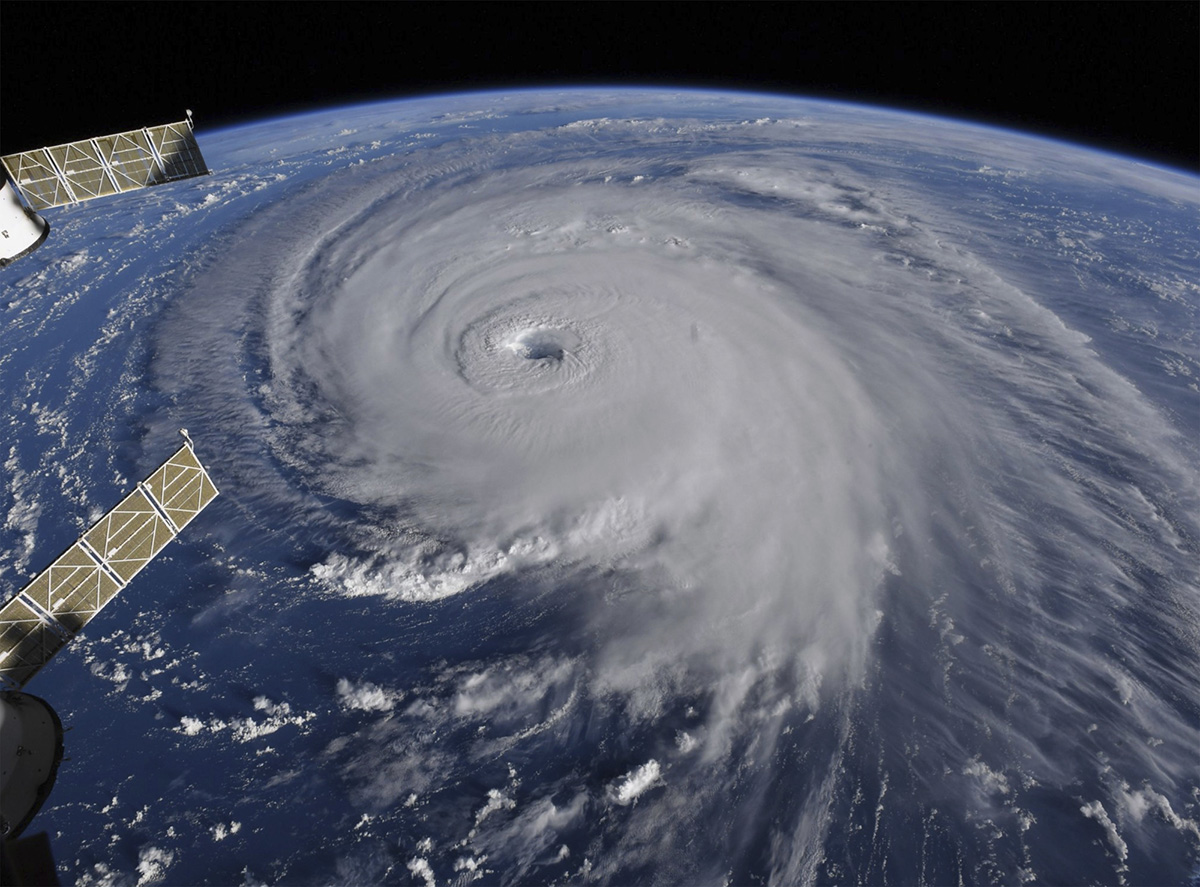
 This image provided by NASA shows Hurricane Florence from the International Space Station on Wednesday, Sept. 12, 2018, as it threatens the U.S. East Coast. Hurricane Florence is coming closer and getting stronger on a path to squat over North and South Carolina for days, surging over the coast, dumping feet of water deep inland and causing floods from the sea to the Appalachian Mountains and back again. (NASA via AP)
MYRTLE BEACH, S.C. (AP) – Hurricane Florence put a corridor of more than 10 million people in the crosshairs Wednesday as the monster storm closed in on the Carolinas, uncertainty over its projected path spreading worry across a widening swath of the Southeast.
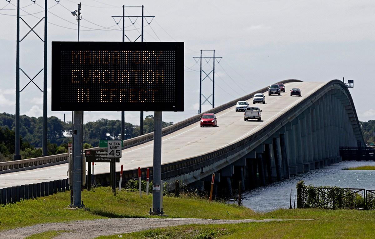
Faced with new forecasts that showed a more southerly threat, Georgia’s governor joined his counterparts in Virginia and North and South Carolina in declaring a state of emergency, and some residents who had thought they were safely out of range boarded up their homes.
The National Hurricane Center’s best guess was that Florence would blow ashore as early as Friday afternoon around the North Carolina-South Carolina line, then push its rainy way westward with a potential for catastrophic inland flooding.
Florence’s nighttime winds were down to 115 mph (185 kph) from a high of 140 mph (225 kph), and the Category 4 storm fell to a Category 3, with a further slow weakening expected as the storm nears the coast. But authorities warned it will still be an extremely dangerous hurricane.
“Do you want to get hit with a train or do you want to get hit with a cement truck?” said Jeff Byard, an administrator with the Federal Emergency Management Agency.