The Smart City technology being tested in Chattanooga is getting even smarter with the aid of technology from a Huntsville, Alabama business that has helped EPB develop parts of its electric grid and fiber optic networks over the past two decades.
The Center for Urban Informatics and Progress (CUIP) at the University of Tennessee at Chattanooga has selected HxGN Connect, real-time incident center developed by Hexagon's Safety, Infrastructure & Geospatial division, to support its Smart City research. The new technology allows for more interaction and sharing of data that UTC researchers are collecting along it Smart Corridor along M.L. King Boulevard.
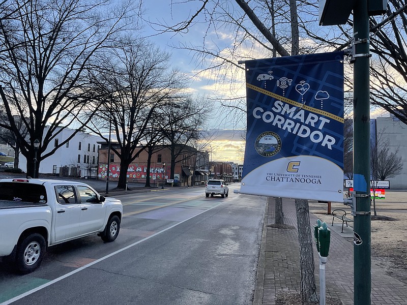
UTC has put up cameras, LIDAR sensors, weather and sounder detectors along a stretch of M.L, King Boulevard to gather data and study traffic and pedestrian patterns in the downtown area to develop better ways of timing traffic lights, moving people and cars quicker and avoiding traffic accidents, where possible.
Mike Baker, Hexagon's project manager for the UTC initiative, said HxGN Connect provides the software to better connect and display all of the real-time data being collected by UTC's Smart City research project to help better use the information in real time and to better analyze the data for changes over time.
Using a machine learning-based model, multisensory data and HxGN Connect, researchers and government organizations can analyze and visualize past accidents and patterns, predict future roadway crashes and coordinate resources to mitigate impacts.
Based on the data collected along the Smart Corridor, CUIP has developed a predictive model that provides a 24-hour forecast that can be used to inform resource planning and deployment. HxGN Connect serves as a conduit for data sharing and collaboration among the involved organizations across the city – from emergency services to the department of transportation – enabling each entity to access the model, see the results and plan ahead.
"Our ultimate goal is reducing response times to traffic incidents and creating safer roadways," Austin Harris, who manages the Smart City and Connected Vehicle testbed, said in an interview. "HxGN Connect allows us to provide that data in a way where multiple entities can collaborate in real-time, with full situational awareness. It has allowed us to really focus on the research, which we know will have a meaningful impact on the people of Chattanooga."
Within HxGN Connect, each organization can view the predictive model and use tools to chat, video conference or create channels for particularly dangerous intersections to plan actions. The objective is to make those intersections much safer for the traveling public.
— Compiled by Dave Flessner