
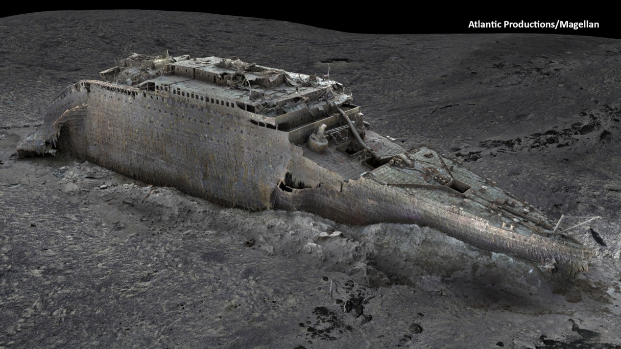
LONDON (AP) — Deep-sea researchers have completed the first full-size digital scan of the Titanic, showing the entire wreck in unprecedented detail and clarity, the companies behind a new documentary on the wreck said Thursday.
Using two remotely operated submersibles, a team of researchers spent six weeks last summer in the North Atlantic mapping the whole shipwreck and the surrounding 3-mile debris field, where personal belongings of the ocean liner’s passengers, such as shoes and watches, were scattered.
Richard Parkinson, founder and chief executive of deep-sea exploration firm Magellan, estimated that the resulting data — including 715,000 images — is 10 times larger than any underwater 3D model ever attempted before.
“It’s an absolutely one-to-one digital copy, a ‘twin,’ of the Titanic in every detail,” said Anthony Geffen, head of documentary maker Atlantic Productions.
The Titanic was on its maiden voyage from Southampton, England, to New York City when it hit an iceberg off Newfoundland in the North Atlantic on April 15, 1912. The luxury ocean liner sank within hours, killing about 1,500 people.