
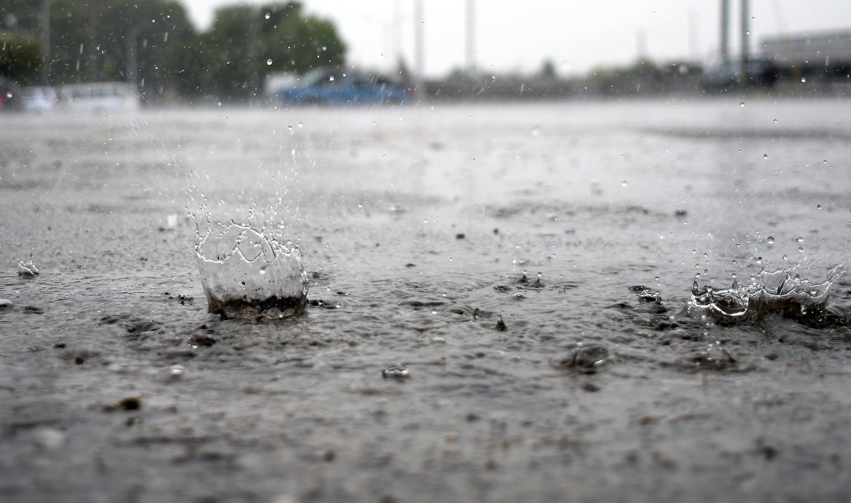

Despite incoming rain from remnants of Hurricane Francine, the ongoing drought gripping much of Tennessee won’t be busted.
Rain forecast through the weekend will help drought conditions but won’t quench ongoing dryness, according to Jeanie McDermott, meteorologist with the National Weather Service office in Morristown, Tennessee.
“That’ll help put a dent in it, but it may still be dry,” McDermott said in a phone interview. “Hamilton County appears to be in the 2- to 3-inch range over the course of several days — from now through the weekend. It looks like Middle Tennessee will get up to 4 or 5 inches of rain.”
The U.S. Drought Monitor released Thursday shows all of Bledsoe, Hamilton, Marion and Rhea counties in severe drought. The monitor shows 86% of Sequatchie, 78% of Meigs, 57% of Bradley and less than 40% of Grundy in severe drought while the rest of those counties and remaining counties in Southeast Tennessee are shown in moderate drought.
In Middle Tennessee, the monitor shows a bright red splotch of extreme drought in Hickman, Lewis and generous portions of seven or eight adjacent counties.
McDermott said the rain deficit is more than 9 inches below normal for this point in the year.
“According to our latest climate data for this year since Jan. 1, you are down almost 10 inches for rainfall,” McDermott said of Chattanooga. “It’s 9.61 inches behind normal for this point in the year.”
Wil Tollefson, the assistant state climatologist at the Tennessee Climate Office at East Tennessee State University, said a dry 2023 left the region 2 inches behind on rainfall to begin 2024. There was ample rain early this year, “but not enough to make up the deficit,” he said.
“Over 2023, we were on track for normal precipitation until September,” Tollefson said in a phone interview. “This year, a similar drought pattern happened June through August. Being the peak of summer made the drought hit harder. We’re starting to see signs of drought stress earlier than last year.”
Another system could influence the remnants of Francine next week, he said, bringing more rain than predicted, but that’s a wait-and-see situation.
Francine’s rain should help a lot in West and Middle Tennessee over the weekend, he said.
“I’m a bit worried the eastern side of the state is going to be hit or miss,” Tollefson said. “Some people will get it, but others are probably going to miss out. We’ll have to see how that plays out.”
September is typically a dry time of year, McDermott said.
“It looks like those rain chances are going to continue mainly through Saturday,” McDermott said. “Next week is looking to be drier, and it looks like it’s going to be warm with highs in the 80s, which is normal for this of year.”
Remnants of Francine are packing some wind with gusts up to 20 mph forecast for Friday in the eastern mountains and foothills, she said.
(READ MORE: Chattanooga weather in 2023 among warmest, driest on record)
“Overall, this system is going to stay pretty well to our west,” she said. “They’ve already downgraded it to a tropical depression, so it’s not even a tropical storm anymore.”
Communities north of Chattanooga are unlikely to get as much rainfall, she said. The Knoxville area over the next few days is forecast to get around a half-inch of rain.
Contact Ben Benton at bbenton@timesfreepress.com or 423-757-6569.