
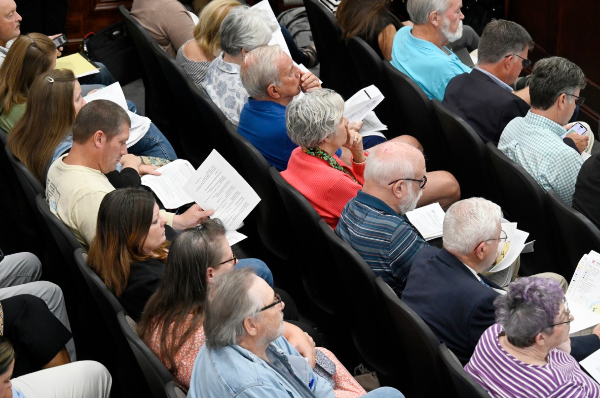

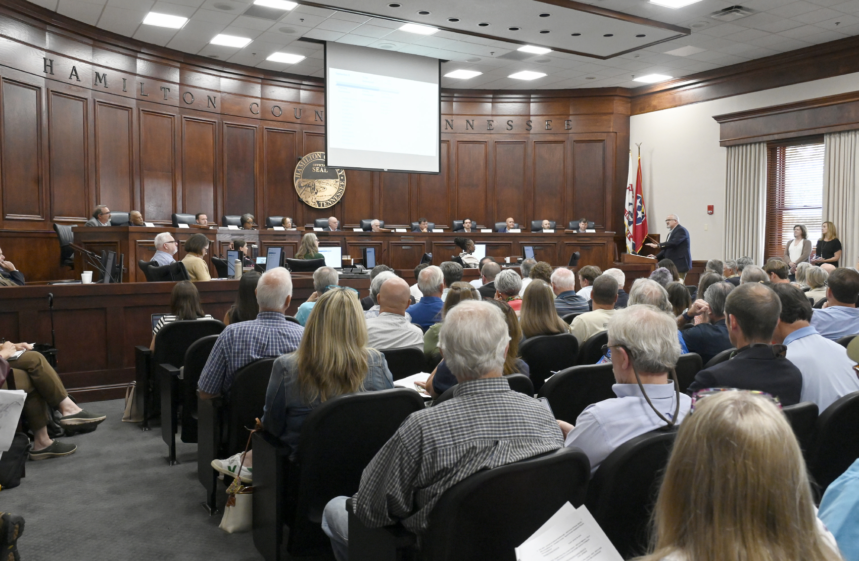
Planning commissioners Monday approved a strategic growth plan for unincorporated parts of Hamilton County, following years of public meetings and revisions.
All but two members of the Chattanooga-Hamilton County Regional Planning Commission voted in favor of Plan Hamilton. County mayoral appointee Nathan Janeway, the county’s development director, voted against it, and Nathan Bird, who works for a firm that consulted on the plan, recused himself from the vote.
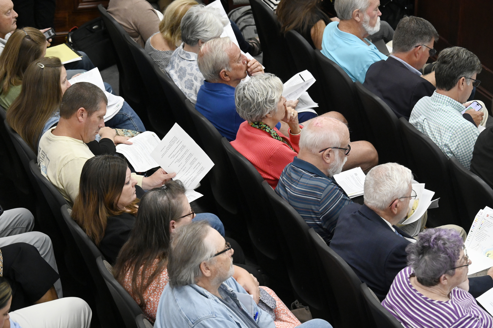
Some residents of the unincorporated area, who’ve organized in an attempt to reduce the amount of growth and building allowed where they live, said the plan threatens the county’s rural character.
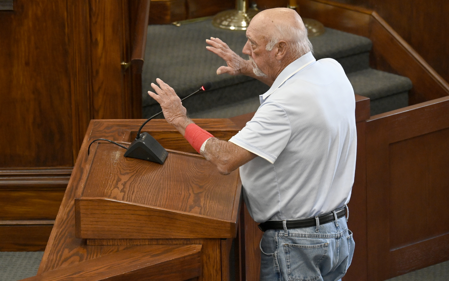
“It is not aligned with the resident vision and goals for the community,” Ooltewah resident Don Johnson told planning commissioners before the vote. “Increasing density continues to increase the current $135 million backlog of infrastructure repairs.”
Residents have also raised concerns that the planning board, with nine of its 15 members working jobs connected to the housing industry, is biased toward developers.
In August, county commissioners amended the plan to include changes Commissioner Lee Helton, R-East Brainerd, presented as a compromise between those residents and the interests of local home builders. Those changes passed by one vote.
“The commission did vote 6-5, but that was not the will of the people,” Birchwood resident Glenda Pappu said to applause.
Plan Hamilton adopted by regional planning board






The Homebuilders Association of Greater Chattanooga was in favor of Helton’s changes, though they aren’t everything members would want in the plan, said the group’s president, Jason Farmer.
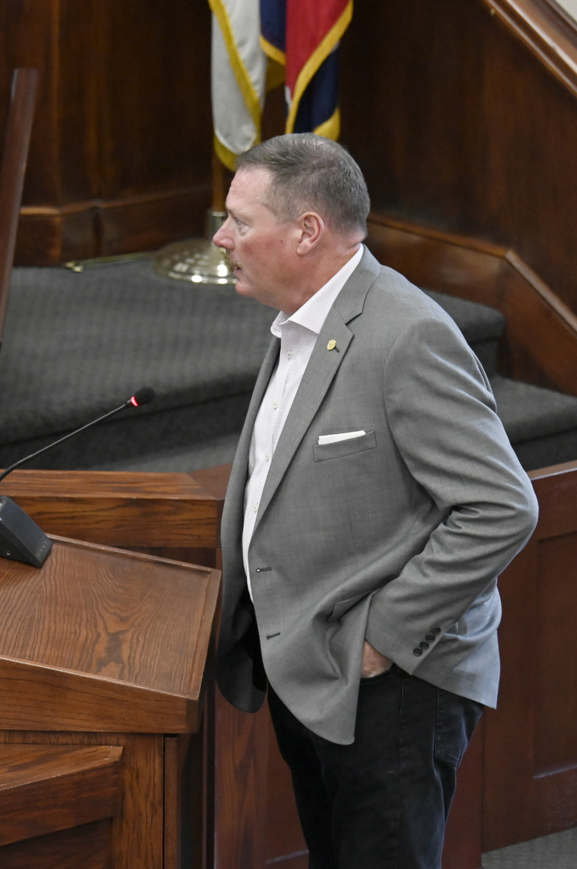
“Somebody that looks like me came before me and built roads and built houses for probably everyone in this room,” Farmer told commissioners. “We represent thousands of jobs. We stand here today representing private property rights, undeveloped A-1 property that hasn’t been bought yet.”
The plan stands to reduce density in most areas, largely due to a lack of available sewer capacity, engineer Mike Price told commissioners.
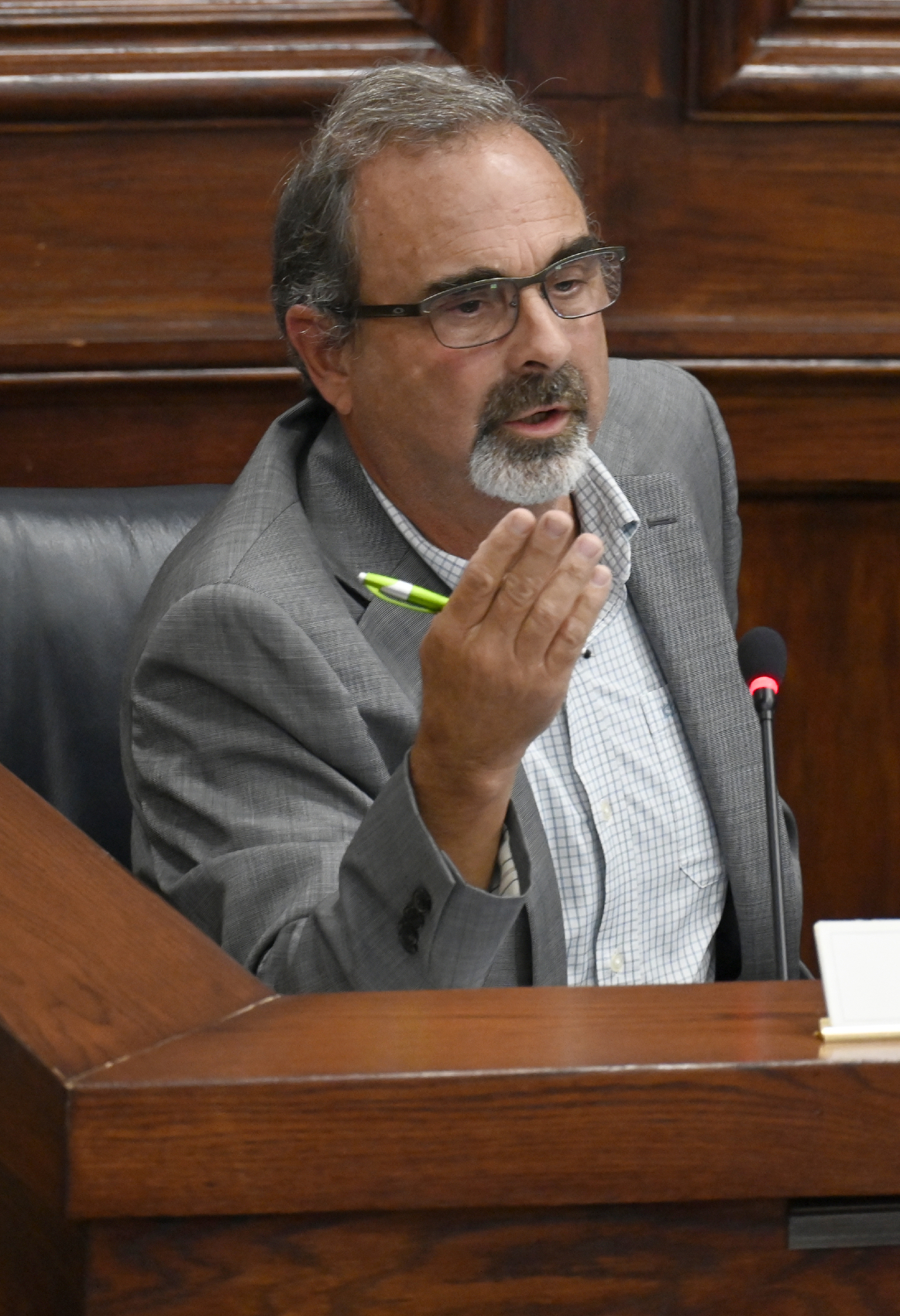
“On sewers, the whole area is basically under moratorium. We’re not going to see sewers being expanded out in these areas,” Price said. “So it’s a false narrative. There will be a decrease (in density).”
Decentralized sewer systems, a contested topic thanks to a proposal to use one for a large subdivision in the Signal Mountain area, are also going to be prohibitively expensive under rules the county passed this year, Price said.
Price also asked commissioners not to “listen to individuals who aren’t familiar with development and what it requires.”
Signal Mountain resident Amy Anderson urged the board to listen to community members, who will be affected by new development.
“I resent that,” Anderson said in response to Price. “I am offended by that. It was an entitled, rude comment.”
FLOODPLAIN
Where residents wanted to limit new development in floodplains to no more than 67% of the floodplain area, Helton’s amendments raised that to allow 75% to be developed.
On Monday, planning commissioners voted to roll back the limit to 60%. Until now, there have been no restrictions on building in the 100-year floodplain in the county.
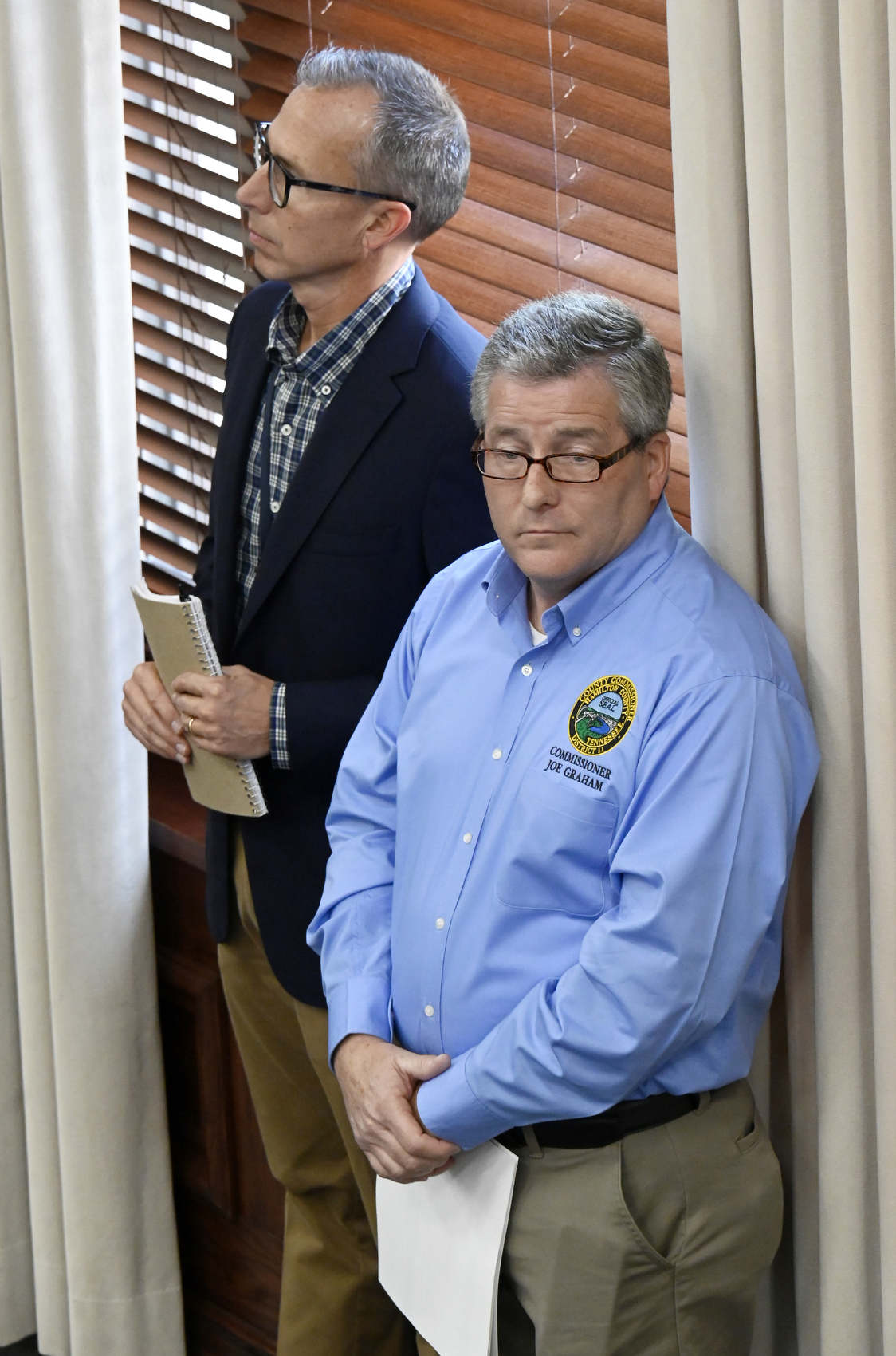
County Commissioners Joe Graham, R-Lookout Valley, and David Sharpe, D-Red Bank, voted last month in favor of the amendments that allowed more floodplain development. On Monday, Graham and Sharpe told planning commissioners that their constituents were strongly against that higher limit, and they asked to consider lowering it again.
“I’ve heard from many constituents,” Sharpe said, “particularly after multiple high rainfall incidents over the course of the last few weeks. Floodwater and the effects that it has on neighboring properties is something that we should be concerned for.”
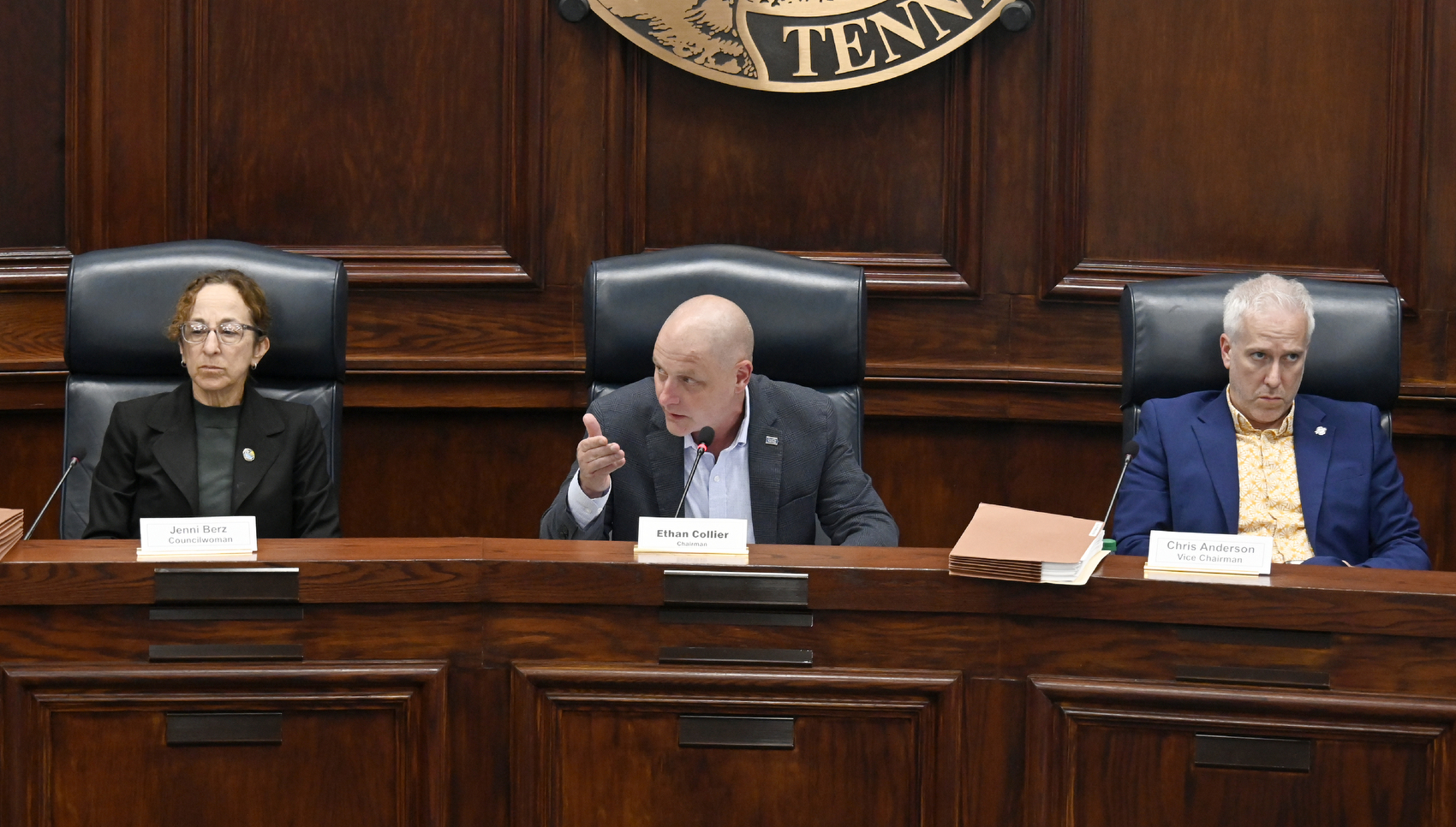
Planning Commission Chair Ethan Collier called upon engineers at the meeting to help explain how floodplain development works. Price and another engineer came up to take questions toward the end of Monday’s meeting, after the room had mostly emptied.
Under the county’s new limits, development can happen in the 60% of a floodplain area farthest from the stream or body of water, Price said.
As for whether building in the floodplain can make flooding on neighboring properties worse, Price said it all depends — on the type and amount of soil, on the elevation and location.
“Whatever number would have been picked will have a positive impact,” Price said.
NET DENSITY
Planning commissioners voted against adding a specific change for the Walden’s Ridge area, proposed by county Commissioner Chip Baker, R-Signal Mountain. While density in the rest of the county is calculated based on the total area of a site, Baker proposed basing density there only on the buildable area, excluding unbuildable parts like ponds, steep slopes and septic fields.
That’s a change that Commissioner Steve Highlander, R-Harrison, has proposed before as a way to limit high-density development.
“That’s not what I remember what I was voting on,” said Commissioner Mike Chauncey, R-East Ridge, who serves on both boards.
Planning commissioners also voted against area-specific changes proposed for parts of Ooltewah and Harrison. Several commissioners said they weren’t given enough time to review the changes before the meeting.
FARMLAND
Several of the more than 20 residents who spoke during Monday’s nearly three-hour discussion said they wanted stronger protections for farmland in the plan.
An often-cited survey included in early Plan Hamilton drafts showed that for more than 90% of respondents preserving farm and rural land was a top priority.
“We’ve heard that through our surveys,” said Karen Rennich, interim director of the Regional Planning Agency. “We’ve heard that at pretty much every public hearing about Plan Hamilton.”
Rennich said planning staff also learned they may not have all of the county’s farms and agricultural land accounted for on their maps.
Beau Duvall, with the Hixson Future Farmers of America, said the plan’s land use maps should not diminish farmland.
“We cannot just bury our vital life support, which is farms,” Duvall said. “It’s imperative.”
Farmer, with the home builders, said he’s bought several farms as a builder. In each of those deals, there was a willing seller, he said, looking to get the best price for the land that often serves as a family’s nest egg.
“Those people ought to be able to sell their land if they want to, and not have to preserve farmland,” Farmer said.
WHAT NOW?
Now, Plan Hamilton will head to the state, where it’ll be reviewed for approval. After that, the document is sent back to Hamilton County commissioners, who can choose to change it or adopt it as the county’s official growth plan. County commissioners have final say on development and rezoning in the county’s unincorporated areas.
The plan does not actually change how any property is zoned or used, Rennich said. Planning and county commissioners can use the plan as a guide when recommending and voting on rezoning land in the future.
“Zoning is a legislative action by County Commission,” Rennich said. “Only County Commission can change zoning regulations or rezone property.”
County Mayor Weston Wamp announced the official Plan Hamilton effort in March 2023.
Officials argued the plan’s guidelines were sorely needed in areas like Ooltewah, where a lack of restrictions has spawned subdivisions on acres of former farmland and an influx of residents has made traffic worse and schools more crowded.
Engineering firm RaganSmith initially consulted with county planners, for a fee over half a million dollars, and officials held public meetings across the county to gather feedback.
PUSHBACK
In December, the plan was headed to a vote at the Planning Commission when county officials delayed it in response to pushback from residents who didn’t feel they’d had time to assess and respond to the draft. It was delayed again, allowing time for committees of residents in different areas to meet and discuss changes — and also allowing time for local home builders to draft their own set of amendments.
When the plan at last came before planning commissioners in May, home builders brought up their amendments and commissioners added them in, voting to approve that version. Their vote Monday approves the most updated version.
Before the vote, county commissioners, including Gene-o Shipley, R-Soddy-Daisy, asked the board to delay their decision.
“I made a living in construction, I know we have to have it, we need to be building,” Shipley said, “but we need to slow it down a bit. Let Hamilton County government catch up.”
For Walden’s Ridge, Baker, the area’s commissioner, said he had already been working on an area-specific plan in late 2022 before the Regional Planning Agency, under then-newly-appointed head Dan Reuter, stepped in and asked him to join countywide efforts.
Last week, Signal Mountain Town Council members passed a resolution asking for changes to the plan to accommodate their area’s unique needs, a separate effort from Baker’s proposal for net buildable density. They requested a lower density cap on the mountain based on what’s allowed in the towns of Signal Mountain and Walden.
Kurt Wells, a resident of that area, urged the board Monday to add those requirements, particularly for geotechnical reports, back into the plan.
“I can tell you from experience that current regulations do not adequately address necessary report requirements,” Wells said, “and that sometimes developers don’t do the right thing.”
Planning commissioners did not adopt those changes Monday.
Contact growth reporter Ellen Gerst at egerst@timesfreepress.com or 423-757-6319.